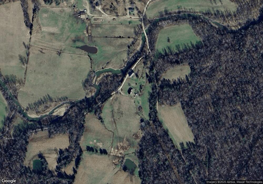
1067 Locust Branch School Rd Irvine, KY 40336
Estimated Value: $379,000
3
Beds
1
Bath
2,603
Sq Ft
$146/Sq Ft
Est. Value
About This Home
This home is located at 1067 Locust Branch School Rd, Irvine, KY 40336 and is currently estimated at $379,000, approximately $145 per square foot. 1067 Locust Branch School Rd is a home located in Estill County with nearby schools including West Irvine Intermediate School, Estill Springs Elementary School, and Estill County Middle School.
Ownership History
Date
Name
Owned For
Owner Type
Purchase Details
Closed on
Nov 13, 2020
Sold by
Bicknell Elmer and Bicknell Grethel
Bought by
Cox Jacob and Cox Samantha
Current Estimated Value
Purchase Details
Closed on
Dec 7, 2017
Sold by
Fike Irene Michelle and Fike Garrett Steven
Bought by
Cox Jacob Cody and Cox Samantha Sue
Home Financials for this Owner
Home Financials are based on the most recent Mortgage that was taken out on this home.
Original Mortgage
$260,000
Interest Rate
3.9%
Mortgage Type
USDA
Create a Home Valuation Report for This Property
The Home Valuation Report is an in-depth analysis detailing your home's value as well as a comparison with similar homes in the area
Home Values in the Area
Average Home Value in this Area
Purchase History
| Date | Buyer | Sale Price | Title Company |
|---|---|---|---|
| Cox Jacob | $12,000 | None Available | |
| Cox Jacob Cody | $250,000 | None Available |
Source: Public Records
Mortgage History
| Date | Status | Borrower | Loan Amount |
|---|---|---|---|
| Previous Owner | Cox Jacob Cody | $260,000 |
Source: Public Records
Tax History Compared to Growth
Tax History
| Year | Tax Paid | Tax Assessment Tax Assessment Total Assessment is a certain percentage of the fair market value that is determined by local assessors to be the total taxable value of land and additions on the property. | Land | Improvement |
|---|---|---|---|---|
| 2024 | $1,798 | $162,200 | $162,200 | $0 |
| 2023 | $1,825 | $162,200 | $162,200 | $0 |
| 2022 | $1,833 | $162,200 | $162,200 | $0 |
| 2021 | $1,882 | $162,200 | $162,200 | $0 |
| 2020 | $1,892 | $162,200 | $162,200 | $0 |
| 2019 | $1,898 | $162,200 | $162,200 | $0 |
| 2018 | $2,927 | $250,000 | $250,000 | $0 |
| 2017 | $1,370 | $404,000 | $404,000 | $0 |
| 2016 | $1,370 | $399,300 | $399,300 | $0 |
| 2015 | -- | $399,300 | $399,300 | $0 |
| 2014 | -- | $399,300 | $399,300 | $0 |
| 2013 | -- | $310,000 | $310,000 | $0 |
| 2010 | -- | $180,000 | $0 | $0 |
Source: Public Records
Map
Nearby Homes
- 1632 Red Lick Rd
- 276 Long Branch Rd
- 9999 Highway 2004
- 999 Long Branch Rd
- 19917 State Highway 2004
- 275 Little Horn Creek-Jinks Rd
- 400 McCarter Branch Rd
- 2682 Dreyfus Rd
- 2640 Dreyfus Rd
- 4405 Red Lick Rd
- 290 Walton Rd
- 9999 Dreyfus Rd
- 269 Gravel Lick Branch Rd
- 1433 Gravel Lick Branch Rd
- 0 Morrill-Kerby Knob Rd
- 1850 Upper Dry Fork Rd
- 397 Perry Ln
- 13444 2004 Hwy
- 815 Highway 3446
- 909 Low Gap Rd
