1067 Mill Pointe Bogart, GA 30622
Estimated Value: $452,000 - $574,000
2
Beds
2
Baths
1,891
Sq Ft
$265/Sq Ft
Est. Value
About This Home
This home is located at 1067 Mill Pointe, Bogart, GA 30622 and is currently estimated at $501,905, approximately $265 per square foot. 1067 Mill Pointe is a home located in Oconee County with nearby schools including Malcom Bridge Elementary School, Malcom Bridge Middle School, and North Oconee High School.
Ownership History
Date
Name
Owned For
Owner Type
Purchase Details
Closed on
Jan 15, 2021
Sold by
Townsend Mary E
Bought by
Thomas Jeffrey Austin
Current Estimated Value
Home Financials for this Owner
Home Financials are based on the most recent Mortgage that was taken out on this home.
Original Mortgage
$250,000
Outstanding Balance
$222,969
Interest Rate
2.67%
Mortgage Type
New Conventional
Estimated Equity
$278,936
Purchase Details
Closed on
Aug 18, 1994
Bought by
Townsend Mary E
Create a Home Valuation Report for This Property
The Home Valuation Report is an in-depth analysis detailing your home's value as well as a comparison with similar homes in the area
Home Values in the Area
Average Home Value in this Area
Purchase History
| Date | Buyer | Sale Price | Title Company |
|---|---|---|---|
| Thomas Jeffrey Austin | $350,000 | -- | |
| Townsend Mary E | $195,000 | -- |
Source: Public Records
Mortgage History
| Date | Status | Borrower | Loan Amount |
|---|---|---|---|
| Open | Thomas Jeffrey Austin | $250,000 |
Source: Public Records
Tax History Compared to Growth
Tax History
| Year | Tax Paid | Tax Assessment Tax Assessment Total Assessment is a certain percentage of the fair market value that is determined by local assessors to be the total taxable value of land and additions on the property. | Land | Improvement |
|---|---|---|---|---|
| 2024 | $3,059 | $162,597 | $32,500 | $130,097 |
| 2023 | $3,038 | $156,080 | $32,500 | $123,580 |
| 2022 | $3,004 | $141,577 | $32,500 | $109,077 |
| 2021 | $2,603 | $112,433 | $32,500 | $79,933 |
| 2020 | $2,248 | $96,962 | $32,500 | $64,462 |
| 2019 | $2,232 | $96,253 | $32,500 | $63,753 |
| 2018 | $1,988 | $85,946 | $32,500 | $53,446 |
| 2017 | $2,125 | $91,713 | $32,500 | $59,213 |
| 2016 | $2,102 | $90,730 | $32,500 | $58,230 |
| 2015 | $2,096 | $90,320 | $32,500 | $57,820 |
| 2014 | $2,090 | $88,071 | $32,500 | $55,571 |
| 2013 | -- | $88,877 | $32,500 | $56,377 |
Source: Public Records
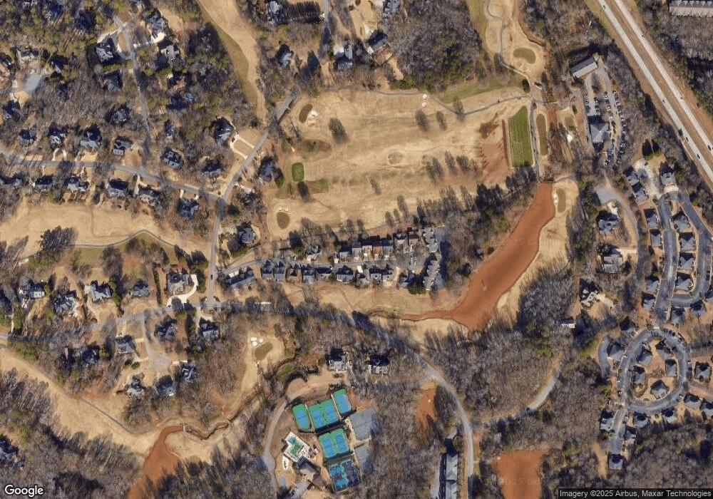
Map
Nearby Homes
- 1030 Chambers Ct
- 1070 Ramser Dr
- 1261 Meriweather Dr
- 1331 Jennings Mill Rd
- 238 Covington Place
- 228 Covington Place
- 1031 Vend Dr
- 265 Bedford Dr
- 1020 Tower Place
- 117 Covington Place
- 355 Commerce Blvd
- 1090 Kenway Dr
- 171 Dowdy Rd
- 1266 Orchard Way
- 160 Cambridge Dr
- 1011 Meriweather Dr
- 493 Park West Blvd
- 311 Summerville Ln
- 1071 Mill Pointe
- 0 Mill Point Unit 7456978
- 1073 Mill Pointe
- 1107 Mill Pointe
- 1105 Mill Pointe
- 1105 Mill Pointe Unit 1105
- 1066 Mill Pointe
- 1072 Mill Pointe
- 1101 Mill Pointe
- 1101 Mill Pointe
- 1079 Mill Pointe
- 1079 Mill Pointe
- 1108 Mill Pointe
- 1106 Mill Pointe
- 1106 Mill Pointe
- 1102 Mill Pointe Unit 18
- 1102 Mill Pointe
- 1078 Mill Pointe
- 1102 Mill Pointe
- 1102 Mill Pointe