1067 New Liberty Rd Ellijay, GA 30536
Estimated Value: $415,000 - $456,000
--
Bed
--
Bath
1,366
Sq Ft
$319/Sq Ft
Est. Value
About This Home
This home is located at 1067 New Liberty Rd, Ellijay, GA 30536 and is currently estimated at $435,200, approximately $318 per square foot. 1067 New Liberty Rd is a home with nearby schools including Ellijay Elementary School, Clear Creek Elementary School, and Gilmer Middle School.
Ownership History
Date
Name
Owned For
Owner Type
Purchase Details
Closed on
Apr 21, 2014
Sold by
Martin Joshua L
Bought by
Martin Joshua L and Martin Meagan
Current Estimated Value
Purchase Details
Closed on
Feb 25, 2014
Sold by
Park Sterling Bank
Bought by
Martin Joshua L
Purchase Details
Closed on
Oct 30, 2012
Sold by
Jones Kathryn W
Bought by
Park Sterling Bank
Purchase Details
Closed on
Jul 28, 2011
Sold by
Jones Kathryn W
Bought by
Jones Brian and Noland Jennifer
Purchase Details
Closed on
Jun 29, 2011
Sold by
Jones Kathryn W
Bought by
Jones Brian and Noland Jennifer
Purchase Details
Closed on
Jan 1, 2011
Sold by
Jones Gary D
Bought by
Jones Kathryn W
Purchase Details
Closed on
Oct 29, 1999
Sold by
Grethen John and Grethen Olive
Bought by
Jones Gary D and Jones Kathr
Create a Home Valuation Report for This Property
The Home Valuation Report is an in-depth analysis detailing your home's value as well as a comparison with similar homes in the area
Home Values in the Area
Average Home Value in this Area
Purchase History
| Date | Buyer | Sale Price | Title Company |
|---|---|---|---|
| Martin Joshua L | -- | -- | |
| Martin Joshua L | $13,500 | -- | |
| Park Sterling Bank | -- | -- | |
| Jones Brian | -- | -- | |
| Jones Brian | -- | -- | |
| Jones Kathryn W | -- | -- | |
| Jones Gary D | $30,000 | -- |
Source: Public Records
Tax History Compared to Growth
Tax History
| Year | Tax Paid | Tax Assessment Tax Assessment Total Assessment is a certain percentage of the fair market value that is determined by local assessors to be the total taxable value of land and additions on the property. | Land | Improvement |
|---|---|---|---|---|
| 2025 | $1,952 | $173,960 | $21,880 | $152,080 |
| 2024 | $1,952 | $164,720 | $19,040 | $145,680 |
| 2023 | $1,977 | $160,600 | $14,920 | $145,680 |
| 2022 | $1,881 | $130,960 | $10,680 | $120,280 |
| 2021 | $1,745 | $100,720 | $9,360 | $91,360 |
| 2020 | $1,699 | $83,760 | $9,160 | $74,600 |
| 2019 | $1,748 | $83,760 | $9,160 | $74,600 |
| 2018 | $1,771 | $83,760 | $9,160 | $74,600 |
| 2017 | $1,602 | $67,000 | $9,160 | $57,840 |
| 2016 | $1,636 | $67,040 | $9,160 | $57,880 |
| 2015 | $1,696 | $68,800 | $11,600 | $57,200 |
| 2014 | $297 | $11,600 | $11,600 | $0 |
| 2013 | -- | $11,600 | $11,600 | $0 |
Source: Public Records
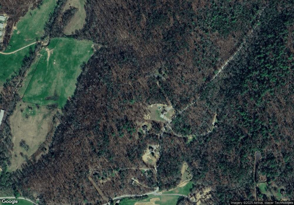
Map
Nearby Homes
- 989 New Liberty Rd
- 940 Fowler Rd
- Lot 33 E Ridge Ln
- 17.67 Rainbow Ridge Dr
- 17.67 AC Rainbow Ridge Dr
- Lot 32 E Ridge Ln
- 19.44 Mt McGurder Rd
- 1055 New Liberty Trail
- 17 AC McGruder Rd
- 0 Possum Poke Rd Unit 29 10584394
- Lt 51,53 Squirrel Hunting Rd
- LT 51, 53 Squirrel Hunting Rd
- Lot 40 Squirrel Hunting Rd
- LOT 42 Squirrel Hunting Rd
- 108 Red Hawk Trail
- 34 Garrett Branch Cir
- 0 Garrett Branch Cir
- 0 Squirrel Hunting Rd Unit 10587950
- 0 Rd Unit 7631544
- TR 2 E New Hope Rd
- 1033 New Liberty Rd
- 1091 New Liberty Rd
- 0 New Liberty Rd Unit 223696
- 913 New Liberty Rd
- 1052 New Liberty Rd
- 912 New Liberty Rd
- 953 New Liberty Rd
- 0 Fowler Rd Unit 8316966
- 0 Fowler Rd Unit 5954298
- 0 Fowler Rd Unit 8313541
- 0 Fowler Rd Unit 8305019
- 0 Fowler Rd Unit 5947309
- 0 Fowler Rd Unit 5873262
- 0 Fowler Rd Unit 8217924
- 0 Fowler Rd Unit 8217888
- 0 Fowler Rd Unit 5873233
- 0 Fowler Rd Unit 7237978
- 0 Fowler Rd Unit 17 7239320
- 0 Fowler Rd Unit 7351659
- 0 Fowler Rd Unit 301725