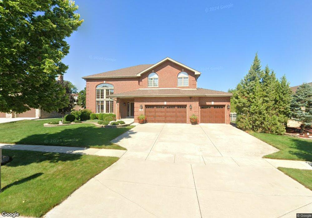
1067 Norwalk Rd Lemont, IL 60439
Southeast Lemont NeighborhoodEstimated Value: $638,000 - $696,000
4
Beds
3
Baths
3,327
Sq Ft
$203/Sq Ft
Est. Value
About This Home
This home is located at 1067 Norwalk Rd, Lemont, IL 60439 and is currently estimated at $675,719, approximately $203 per square foot. 1067 Norwalk Rd is a home located in Cook County with nearby schools including Oakwood School, River Valley School, and Old Quarry Middle School.
Ownership History
Date
Name
Owned For
Owner Type
Purchase Details
Closed on
Sep 12, 2011
Sold by
Fay John T and Fay Dawn M
Bought by
Fay John T and Fay Dawn M
Current Estimated Value
Purchase Details
Closed on
Apr 27, 2000
Sold by
Standard Bank & Trust Company
Bought by
Fay John T and Fay Dawn M
Home Financials for this Owner
Home Financials are based on the most recent Mortgage that was taken out on this home.
Original Mortgage
$250,000
Outstanding Balance
$86,367
Interest Rate
8.14%
Estimated Equity
$589,352
Create a Home Valuation Report for This Property
The Home Valuation Report is an in-depth analysis detailing your home's value as well as a comparison with similar homes in the area
Home Values in the Area
Average Home Value in this Area
Purchase History
| Date | Buyer | Sale Price | Title Company |
|---|---|---|---|
| Fay John T | -- | None Available | |
| Fay John T | $345,500 | -- |
Source: Public Records
Mortgage History
| Date | Status | Borrower | Loan Amount |
|---|---|---|---|
| Open | Fay John T | $250,000 | |
| Closed | Fay John T | $69,700 |
Source: Public Records
Tax History Compared to Growth
Tax History
| Year | Tax Paid | Tax Assessment Tax Assessment Total Assessment is a certain percentage of the fair market value that is determined by local assessors to be the total taxable value of land and additions on the property. | Land | Improvement |
|---|---|---|---|---|
| 2024 | $10,605 | $56,997 | $7,858 | $49,139 |
| 2023 | $7,137 | $56,997 | $7,858 | $49,139 |
| 2022 | $7,137 | $35,555 | $6,875 | $28,680 |
| 2021 | $6,957 | $35,554 | $6,875 | $28,679 |
| 2020 | $7,128 | $35,554 | $6,875 | $28,679 |
| 2019 | $7,281 | $37,650 | $6,875 | $30,775 |
| 2018 | $7,158 | $37,650 | $6,875 | $30,775 |
| 2017 | $7,724 | $40,544 | $6,875 | $33,669 |
| 2016 | $7,844 | $35,723 | $5,647 | $30,076 |
| 2015 | $7,932 | $35,723 | $5,647 | $30,076 |
| 2014 | $8,693 | $38,501 | $5,647 | $32,854 |
| 2013 | $8,188 | $38,651 | $5,647 | $33,004 |
Source: Public Records
Map
Nearby Homes
- Fremont Plan at Covington Knolls
- Eden Plan at Covington Knolls
- Danbury Plan at Covington Knolls
- Calysta Plan at Covington Knolls
- Briarcliffe Plan at Covington Knolls
- Amberwood Plan at Covington Knolls
- 1382 Overton Dr
- 1200 Prairie Ln Unit 1-A
- 1213 Prairie Ln
- 1224 Prairie Ln
- 1228 Prairie Ln Unit 4B
- 1228 Prairie Ln
- 1232 Prairie Ln Unit 5-A
- 1236 Prairie Ln Unit 5-B
- 1409 Notting Hill Dr
- 1341 Ashbury Cir
- 1078 Amber Dr
- 12830 Marble St Unit 25A
- 1156 Covington Dr
- 15500 E 127th St
- 1071 Norwalk Rd
- 1063 Norwalk Rd
- 1059 Norwalk Rd
- 1129 Glenys Dr
- 1068 Norwalk Rd
- 1131 Glenys Dr
- 1064 Norwalk Rd Unit 2
- 1133 Glenys Dr
- 1072 Norwalk Rd
- 1060 Norwalk Rd
- 1055 Norwalk Rd
- 1135 Glenys Dr
- 1074 Norwalk Rd
- 1077 Norwalk Rd
- 1056 Norwalk Rd
- 1137 Glenys Dr
- 1051 Norwalk Rd
- 1067 Covington Dr Unit 1
- 1063 Covington Dr Unit 1
- 1078 Norwalk Rd