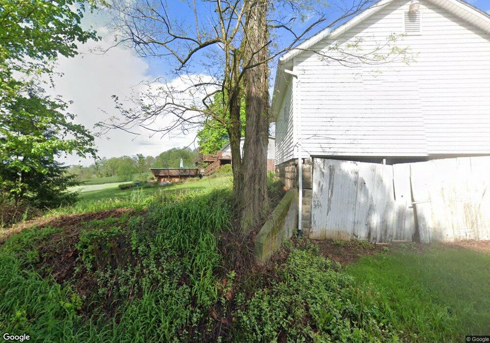
1067 Osborn Rd Zanesville, OH 43701
Estimated Value: $336,000 - $586,530
3
Beds
3
Baths
2,176
Sq Ft
$199/Sq Ft
Est. Value
About This Home
This home is located at 1067 Osborn Rd, Zanesville, OH 43701 and is currently estimated at $433,383, approximately $199 per square foot. 1067 Osborn Rd is a home located in Muskingum County with nearby schools including Philo High School, Bishop Fenwick School, and Zanesville Christian School.
Ownership History
Date
Name
Owned For
Owner Type
Purchase Details
Closed on
Jul 20, 2022
Sold by
Miller Christina L
Bought by
Heiney Christina L Miller and Heiney Clint R
Current Estimated Value
Purchase Details
Closed on
Nov 11, 2011
Sold by
Miller Richard B and Miller Dorothy B
Bought by
Miller Richard B and Miller Dorothy B
Purchase Details
Closed on
Aug 30, 2010
Sold by
Miller Richard B and Miller Dorothy B
Bought by
Lamay Erik D and Lamay Christina L
Create a Home Valuation Report for This Property
The Home Valuation Report is an in-depth analysis detailing your home's value as well as a comparison with similar homes in the area
Home Values in the Area
Average Home Value in this Area
Purchase History
| Date | Buyer | Sale Price | Title Company |
|---|---|---|---|
| Heiney Christina L Miller | -- | Mcdonald Susan J | |
| Heiney Christina L Miller | -- | None Listed On Document | |
| Miller Dorothy B | -- | Mcdonald Susan J | |
| Miller Dorothy B | -- | None Listed On Document | |
| Miller Richard B | -- | Attorney | |
| Lamay Erik D | -- | None Available |
Source: Public Records
Tax History Compared to Growth
Tax History
| Year | Tax Paid | Tax Assessment Tax Assessment Total Assessment is a certain percentage of the fair market value that is determined by local assessors to be the total taxable value of land and additions on the property. | Land | Improvement |
|---|---|---|---|---|
| 2024 | $3,376 | $140,980 | $55,650 | $85,330 |
| 2023 | $1,920 | $90,615 | $33,425 | $57,190 |
| 2022 | $1,850 | $90,615 | $33,425 | $57,190 |
| 2021 | $1,823 | $90,895 | $33,705 | $57,190 |
| 2020 | $1,915 | $90,895 | $33,705 | $57,190 |
| 2019 | $1,910 | $90,895 | $33,705 | $57,190 |
| 2018 | $1,954 | $90,895 | $33,705 | $57,190 |
| 2017 | $1,674 | $68,425 | $25,270 | $43,155 |
| 2016 | $1,608 | $68,430 | $25,270 | $43,160 |
| 2015 | $1,653 | $68,430 | $25,270 | $43,160 |
| 2013 | $1,623 | $68,430 | $25,270 | $43,160 |
Source: Public Records
Map
Nearby Homes
- 240 Mockingbird Hill
- 2850 Watson Way
- 2465 Clay Pike
- 2425 S Pleasant Grove Rd
- 2383 Chandlersville Rd
- 440 Stardust Cir
- 0 East Pike Unit 5163133
- 2870 Cody Dr
- 2755 N Lawndale Place
- 496 Pleasant Grove Rd
- 5100 Ellerman Rd
- 1636 Sharon Ave
- 365 Walters Way
- 360 Walters Way
- 330 Jordan Ave
- 2397 Adamsville Rd
- 4460 East Pike
- 2230 Adamsville Rd
- 1332 Sunrise Ave
- 1365 Sharon (Rear) Ave
- 1067 Osborn Rd
- 1070 Osborn Rd
- 1005 Osborn Rd
- 990 Osborn Rd
- 985 Osborn Rd
- 1515 Carrie Cir
- 3360 Chandlersville Rd
- 3350 Chandlersville Rd
- 3600 Clay Pike
- 3550 Chandlersville Rd
- 3465 Clay Pike
- 3505 Clay Pike
- 1465 Carrie Cir
- 3585 Clay Pike
- 1460 Carrie Cir
- 1240 Carrie Cir
- 3415 Clay Pike
- 1015 Grieves Ln
- 1455 Carrie Cir
- 0 Carrie Cir