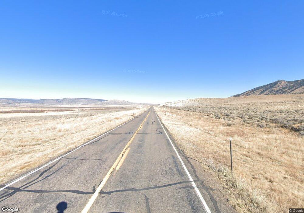
1067 State Highway 11 Laramie, WY 82070
Estimated Value: $424,000 - $606,000
--
Bed
--
Bath
1,232
Sq Ft
$413/Sq Ft
Est. Value
About This Home
This home is located at 1067 State Highway 11, Laramie, WY 82070 and is currently estimated at $508,215, approximately $412 per square foot. 1067 State Highway 11 is a home with nearby schools including Velma Linford Elementary School, Laramie Middle School, and Laramie High School.
Ownership History
Date
Name
Owned For
Owner Type
Purchase Details
Closed on
Aug 29, 2025
Sold by
Hale Garfield Maile Michelle
Bought by
Carlson Bo N and Carlson Erica E
Current Estimated Value
Home Financials for this Owner
Home Financials are based on the most recent Mortgage that was taken out on this home.
Original Mortgage
$336,000
Outstanding Balance
$336,000
Interest Rate
6.75%
Mortgage Type
New Conventional
Estimated Equity
$172,215
Create a Home Valuation Report for This Property
The Home Valuation Report is an in-depth analysis detailing your home's value as well as a comparison with similar homes in the area
Home Values in the Area
Average Home Value in this Area
Purchase History
| Date | Buyer | Sale Price | Title Company |
|---|---|---|---|
| Carlson Bo N | -- | First American Title |
Source: Public Records
Mortgage History
| Date | Status | Borrower | Loan Amount |
|---|---|---|---|
| Open | Carlson Bo N | $336,000 |
Source: Public Records
Tax History Compared to Growth
Tax History
| Year | Tax Paid | Tax Assessment Tax Assessment Total Assessment is a certain percentage of the fair market value that is determined by local assessors to be the total taxable value of land and additions on the property. | Land | Improvement |
|---|---|---|---|---|
| 2025 | $2,230 | $25,512 | $4,730 | $20,782 |
| 2024 | $2,230 | $32,788 | $6,281 | $26,507 |
| 2023 | $2,137 | $31,421 | $5,848 | $25,573 |
| 2022 | $2,005 | $29,483 | $3,596 | $25,887 |
| 2021 | $1,345 | $12,051 | $2,019 | $10,032 |
| 2020 | $1,693 | $24,895 | $4,038 | $20,857 |
| 2019 | $1,485 | $21,843 | $4,038 | $17,805 |
| 2018 | $1,345 | $19,774 | $2,365 | $17,409 |
| 2017 | $1,465 | $21,551 | $2,991 | $18,560 |
| 2016 | $1,476 | $21,704 | $2,991 | $18,713 |
| 2015 | $680 | $14,761 | $2,991 | $11,770 |
| 2014 | $680 | $10,004 | $0 | $0 |
Source: Public Records
Map
Nearby Homes
- 1110 State Highway 11
- 1110 Hwy 11
- 1124 Wyoming 11
- TBD Fox Creek Rd
- 302 Dinwiddie Rd
- 20 Fox Rock Rd
- 50 Stampede Dr
- 2700 Hwy 130
- 6 Brandt Ln
- 84 Bow Fiddle Ranch Rd
- 2757 Wyoming 130
- Centennial Bloc Tbd
- 330 Wild Horse Ranch Rd
- 0 Wild Horse Ranch Rd Unit Lot 235
- Tract 75 Wild Horse Ranch Rd
- Tr 91 Wild Horse Ranch Rd
- 347 Wild Horse Ranch Rd
- TR 186 Wild Horse Ranch Rd
- TR 366 Wild Horse Ranch Rd
- 0 Wild Horse Ranch Rd Unit Lot 166 11517931
- 1078 State Highway 11
- 1084 State Highway 11
- 1083 State Highway 11 Loop
- 1088 State Highway 11
- 1085 State Highway 11 Loop
- 1089 State Highway 11
- 1090 State Highway 11
- 1060 State Highway 11
- TBD Forest Service Rd 543
- 425 & 427 Forest Service Rd 543
- 1148 State Highway 11
- 1124 State Highway 11
- 1126 State Highway 11
- 5 French Creek Rd
- 1142 State Highway 11
- 1130 State Highway 11
- 1138 State Highway 11
- 1140 State Highway 11
- Miningclaim Ownership
- Miningclaim Ownership
