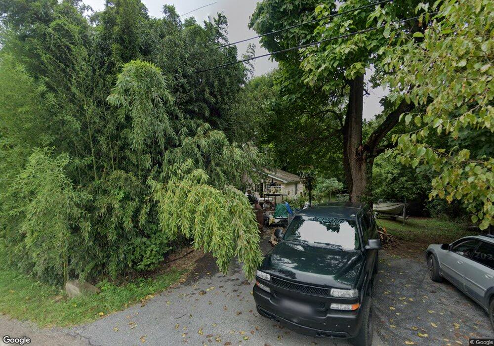
1067 State Park Rd Wind Gap, PA 18091
Estimated Value: $270,679 - $311,000
3
Beds
1
Bath
1,142
Sq Ft
$260/Sq Ft
Est. Value
About This Home
This home is located at 1067 State Park Rd, Wind Gap, PA 18091 and is currently estimated at $296,420, approximately $259 per square foot. 1067 State Park Rd is a home located in Northampton County with nearby schools including Plainfield Elementary School, Wind Gap Middle School, and Pen Argyl Area High School.
Ownership History
Date
Name
Owned For
Owner Type
Purchase Details
Closed on
Aug 31, 2009
Sold by
Teel Kathryn E
Bought by
Guide Nash T
Current Estimated Value
Home Financials for this Owner
Home Financials are based on the most recent Mortgage that was taken out on this home.
Original Mortgage
$152,192
Outstanding Balance
$99,634
Interest Rate
5.21%
Mortgage Type
FHA
Estimated Equity
$196,786
Create a Home Valuation Report for This Property
The Home Valuation Report is an in-depth analysis detailing your home's value as well as a comparison with similar homes in the area
Home Values in the Area
Average Home Value in this Area
Purchase History
| Date | Buyer | Sale Price | Title Company |
|---|---|---|---|
| Guide Nash T | $155,000 | None Available |
Source: Public Records
Mortgage History
| Date | Status | Borrower | Loan Amount |
|---|---|---|---|
| Open | Guide Nash T | $152,192 |
Source: Public Records
Tax History Compared to Growth
Tax History
| Year | Tax Paid | Tax Assessment Tax Assessment Total Assessment is a certain percentage of the fair market value that is determined by local assessors to be the total taxable value of land and additions on the property. | Land | Improvement |
|---|---|---|---|---|
| 2025 | $521 | $48,200 | $19,500 | $28,700 |
| 2024 | $3,632 | $48,200 | $19,500 | $28,700 |
| 2023 | $3,632 | $48,200 | $19,500 | $28,700 |
| 2022 | $3,560 | $48,200 | $19,500 | $28,700 |
| 2021 | $3,608 | $48,200 | $19,500 | $28,700 |
| 2020 | $3,608 | $48,200 | $19,500 | $28,700 |
| 2019 | $3,533 | $48,200 | $19,500 | $28,700 |
| 2018 | $3,453 | $48,200 | $19,500 | $28,700 |
| 2017 | $3,383 | $48,200 | $19,500 | $28,700 |
| 2016 | -- | $48,200 | $19,500 | $28,700 |
| 2015 | -- | $48,200 | $19,500 | $28,700 |
| 2014 | -- | $48,200 | $19,500 | $28,700 |
Source: Public Records
Map
Nearby Homes
- 6366 Sullivan Trail
- 968 Renaldi Rd
- 520 Sexton Rd
- 554 Norman Rd
- 6032 Diana St
- 0 Pennsylvania 33
- 544 School Rd
- 569 Pine Tree Dr
- 898 Browntown Rd
- 636 School Rd
- 968 Bangor Rd
- 6443 Heitzman Rd
- 226 Sonny Dr
- 221 Sonny Dr
- 500 Belfast Rd
- 916 Bushkill Center Rd
- 774 Lahr Rd
- 861 Muschlitz Rd
- 274 Old Allentown Rd
- 108 E Douglasville Rd
- 1065 State Park Rd
- 1061 State Park Rd
- 1077 State Park Rd
- 1083 State Park Rd
- 1052 State Park Rd
- 1087 State Park Rd
- 1045 State Park Rd
- 1095 State Park Rd
- 6293 Sullivan Trail
- 1026 State Park Rd
- 6281 Sullivan Trail
- 6313 Sullivan Trail
- 6286 Sullivan Trail
- 6278 Sullivan Trail
- 6274 Sullivan Trail
- 6282 Sullivan Trail
- 6265 Sullivan Trail
- 6313 Sullivan Trail
- 1036 Albert Rd
- 6261 Sullivan Trail