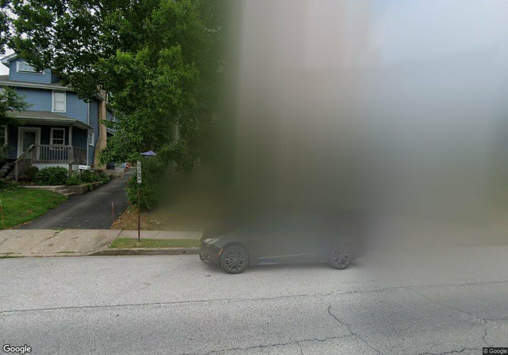
1067 Tyson Ave Abington, PA 19001
Estimated Value: $329,000 - $415,626
3
Beds
1
Bath
1,484
Sq Ft
$244/Sq Ft
Est. Value
About This Home
This home is located at 1067 Tyson Ave, Abington, PA 19001 and is currently estimated at $361,657, approximately $243 per square foot. 1067 Tyson Ave is a home located in Montgomery County with nearby schools including Roslyn School, Abington Middle School, and Abington Senior High School.
Ownership History
Date
Name
Owned For
Owner Type
Purchase Details
Closed on
Feb 27, 2012
Sold by
Hsu Edward
Bought by
Hsu Edward and Hsu Deneen Matera
Current Estimated Value
Purchase Details
Closed on
Dec 21, 2011
Sold by
Abraham Eva
Bought by
Hsu Edward
Home Financials for this Owner
Home Financials are based on the most recent Mortgage that was taken out on this home.
Original Mortgage
$138,000
Outstanding Balance
$94,265
Interest Rate
3.98%
Estimated Equity
$267,392
Create a Home Valuation Report for This Property
The Home Valuation Report is an in-depth analysis detailing your home's value as well as a comparison with similar homes in the area
Home Values in the Area
Average Home Value in this Area
Purchase History
| Date | Buyer | Sale Price | Title Company |
|---|---|---|---|
| Hsu Edward | -- | None Available | |
| Hsu Edward | $150,000 | None Available |
Source: Public Records
Mortgage History
| Date | Status | Borrower | Loan Amount |
|---|---|---|---|
| Open | Hsu Edward | $138,000 |
Source: Public Records
Tax History Compared to Growth
Tax History
| Year | Tax Paid | Tax Assessment Tax Assessment Total Assessment is a certain percentage of the fair market value that is determined by local assessors to be the total taxable value of land and additions on the property. | Land | Improvement |
|---|---|---|---|---|
| 2025 | $6,404 | $138,280 | $45,410 | $92,870 |
| 2024 | $6,404 | $138,280 | $45,410 | $92,870 |
| 2023 | $6,137 | $138,280 | $45,410 | $92,870 |
| 2022 | $5,940 | $138,280 | $45,410 | $92,870 |
| 2021 | $5,620 | $138,280 | $45,410 | $92,870 |
| 2020 | $5,540 | $138,280 | $45,410 | $92,870 |
| 2019 | $5,540 | $138,280 | $45,410 | $92,870 |
| 2018 | $5,539 | $138,280 | $45,410 | $92,870 |
| 2017 | $5,377 | $138,280 | $45,410 | $92,870 |
| 2016 | $5,322 | $138,280 | $45,410 | $92,870 |
| 2015 | $5,003 | $138,280 | $45,410 | $92,870 |
| 2014 | $5,003 | $138,280 | $45,410 | $92,870 |
Source: Public Records
Map
Nearby Homes
- 1086 Edge Hill Rd
- 908 Edge Hill Rd
- 1155 Easton Rd
- 868 Tyson Ave
- 1191 Wheatsheaf Ln
- 2653 Barnes Ave
- 1339 Wheatsheaf Ln
- 1415 Jericho Rd
- 2242 Clearview Ave
- 619 Hillcrest Ave
- 0 Clearview Ave
- 1430 Aubrey Ave
- 1857 Eckard Ave
- 1422 High Ave
- 629 Roberts Ave
- 1842 Horace Ave
- 1507 Rothley Ave
- 2637 Woodland Rd
- 2750 Turner Ave
- 1514 Grovania Ave Unit 37
- 1071 Tyson Ave Unit 1
- 1071 Tyson Ave Unit 2
- 2223 Trotter Ln
- 1075 Tyson Ave
- 2215 Trotter Ln
- 1059 Tyson Ave
- 1079 Tyson Ave
- 1063 Easton Rd Unit D
- 1063 Easton Rd Unit B
- 1063 Easton Rd Unit A
- 1063 Easton Rd Unit C1
- 1063 Easton Rd Unit D
- 1063 Easton Rd
- 1063 Easton Rd Unit C2
- 1081 Tyson Ave
- 1081 Easton Rd
- 1061 Easton Rd Unit D
- 1061 Easton Rd Unit A
- 1061 Easton Rd
- 1085 Tyson Ave