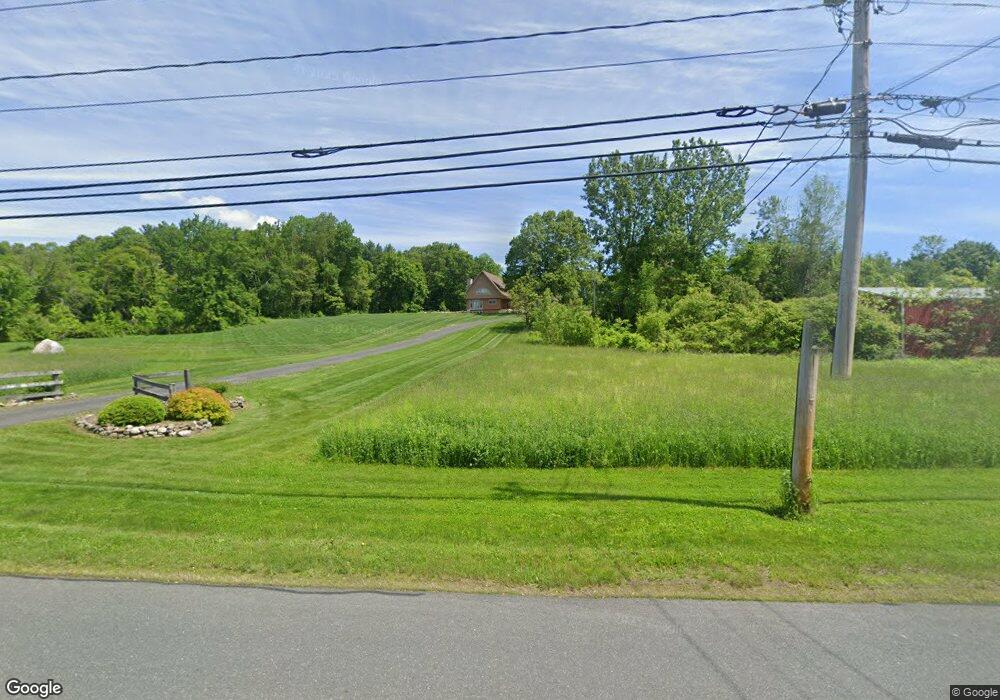
1067 Western Ave Westfield, MA 01085
Estimated Value: $413,000 - $529,770
3
Beds
2
Baths
2,176
Sq Ft
$217/Sq Ft
Est. Value
About This Home
This home is located at 1067 Western Ave, Westfield, MA 01085 and is currently estimated at $472,193, approximately $217 per square foot. 1067 Western Ave is a home located in Hampden County with nearby schools including Westfield High School and Saint Mary High School.
Ownership History
Date
Name
Owned For
Owner Type
Purchase Details
Closed on
Mar 30, 2022
Sold by
Gogal Sandra F and Gogal James J
Bought by
Gogal Sarah L
Current Estimated Value
Purchase Details
Closed on
Aug 12, 2011
Sold by
Gogal James J and Gogal Sandra F
Bought by
Gogal James J
Purchase Details
Closed on
May 9, 1980
Bought by
Gogal James J and Gogal Sandra F
Create a Home Valuation Report for This Property
The Home Valuation Report is an in-depth analysis detailing your home's value as well as a comparison with similar homes in the area
Home Values in the Area
Average Home Value in this Area
Purchase History
| Date | Buyer | Sale Price | Title Company |
|---|---|---|---|
| Gogal Sarah L | -- | None Available | |
| Gogal Sarah L | -- | None Available | |
| Gogal James J | -- | -- | |
| Gogal James J | -- | -- | |
| Gogal James J | -- | -- |
Source: Public Records
Tax History Compared to Growth
Tax History
| Year | Tax Paid | Tax Assessment Tax Assessment Total Assessment is a certain percentage of the fair market value that is determined by local assessors to be the total taxable value of land and additions on the property. | Land | Improvement |
|---|---|---|---|---|
| 2025 | -- | $388,780 | $142,880 | $245,900 |
| 2024 | -- | $359,172 | $130,372 | $228,800 |
| 2023 | $0 | $330,342 | $125,142 | $205,200 |
| 2022 | $0 | $297,857 | $111,357 | $186,500 |
| 2021 | $0 | $282,796 | $104,896 | $177,900 |
| 2020 | $0 | $272,096 | $104,896 | $167,200 |
| 2019 | $0 | $266,892 | $100,092 | $166,800 |
| 2018 | $0 | $266,972 | $100,172 | $166,800 |
| 2017 | $0 | $264,222 | $101,722 | $162,500 |
| 2016 | $4,062 | $263,412 | $100,912 | $162,500 |
| 2015 | $4,062 | $263,412 | $100,912 | $162,500 |
| 2014 | $4,062 | $263,412 | $100,912 | $162,500 |
Source: Public Records
Map
Nearby Homes
- 3 Angelica Dr
- 66 Stoney Ln
- 126 Western Cir
- 40 Heritage Ln
- 555 Russell Rd Unit U A3
- 555 Russell Rd Unit D18
- 549 Russell Rd Unit 6B
- 508 Granville Rd
- 197 Loomis Rg
- 0 Woodland Way
- 156 Honey Pot Rd
- 162 Honey Pot Rd
- 36 Woodland Way
- 53 Yankee Cir
- 0 Fox Hill Dr
- 324 Russell Rd Unit 204
- 110 Kensington Ave
- 444 Loomis St
- 205 Russell Rd
- 16 Spruce St
- 1080 Western Ave
- 1091 Western Ave
- 1094 Western Ave
- 1090 Western Ave
- 1098 Western Ave
- 1098 Western Ave
- 1046 Western Ave
- 1112 Western Ave
- 1068 Western Ave
- 1128 Western Ave
- 1024 Western Ave
- 1014 Western Ave
- 1047 Western Ave
- 1157 Western Ave
- 27 Angelica Dr
- 180 Northwest Rd
- 1164 Western Ave
- 988 Western Ave
- 154 Northwest Rd
- 15 Angelica Dr