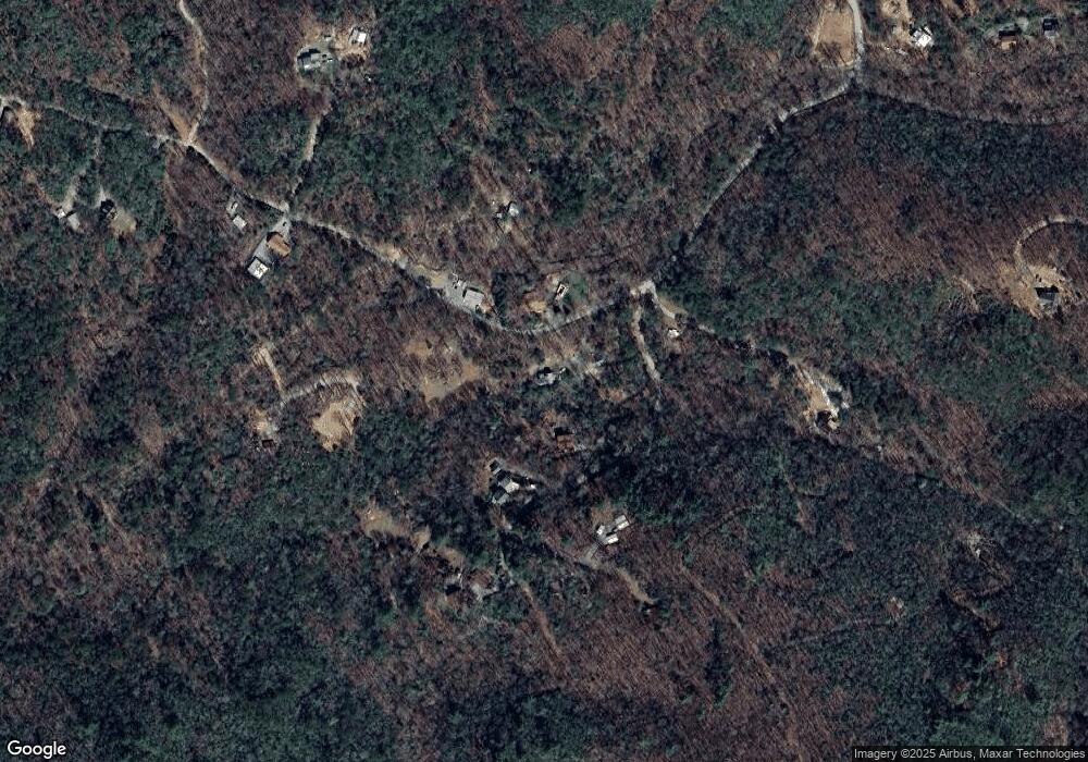
1067 Willard Mountain Rd Blue Ridge, GA 30513
Estimated Value: $445,660 - $666,000
3
Beds
3
Baths
1,716
Sq Ft
$329/Sq Ft
Est. Value
About This Home
This home is located at 1067 Willard Mountain Rd, Blue Ridge, GA 30513 and is currently estimated at $564,165, approximately $328 per square foot. 1067 Willard Mountain Rd is a home with nearby schools including Ellijay Elementary School, Clear Creek Elementary School, and Gilmer Middle School.
Ownership History
Date
Name
Owned For
Owner Type
Purchase Details
Closed on
May 5, 1998
Sold by
Crump Frankie
Bought by
Crump Frankie K and Crump Bobby
Current Estimated Value
Purchase Details
Closed on
Aug 3, 1990
Sold by
Buffington Charles and Buffington Frankie
Bought by
Crump Frankie
Purchase Details
Closed on
Feb 14, 1987
Sold by
Cross Bobby Neal
Bought by
Buffington Charles and Buffington Frankie
Purchase Details
Closed on
Jul 8, 1975
Sold by
Jones J P
Bought by
Cross Bobby Neal
Create a Home Valuation Report for This Property
The Home Valuation Report is an in-depth analysis detailing your home's value as well as a comparison with similar homes in the area
Home Values in the Area
Average Home Value in this Area
Purchase History
| Date | Buyer | Sale Price | Title Company |
|---|---|---|---|
| Crump Frankie K | -- | -- | |
| Crump Frankie | -- | -- | |
| Buffington Charles | $9,000 | -- | |
| Cross Bobby Neal | $6,500 | -- |
Source: Public Records
Tax History Compared to Growth
Tax History
| Year | Tax Paid | Tax Assessment Tax Assessment Total Assessment is a certain percentage of the fair market value that is determined by local assessors to be the total taxable value of land and additions on the property. | Land | Improvement |
|---|---|---|---|---|
| 2024 | $406 | $145,364 | $43,680 | $101,684 |
| 2023 | $418 | $134,484 | $32,800 | $101,684 |
| 2022 | $435 | $108,644 | $25,600 | $83,044 |
| 2021 | $483 | $81,324 | $15,680 | $65,644 |
| 2020 | $539 | $74,744 | $18,000 | $56,744 |
| 2019 | $564 | $71,784 | $15,040 | $56,744 |
| 2018 | $1,351 | $58,904 | $3,880 | $55,024 |
| 2017 | $1,112 | $45,180 | $3,880 | $41,300 |
| 2016 | $1,149 | $45,776 | $3,880 | $41,896 |
| 2015 | $1,099 | $44,576 | $4,600 | $39,976 |
| 2014 | $1,126 | $43,932 | $4,600 | $39,332 |
| 2013 | -- | $44,860 | $4,600 | $40,260 |
Source: Public Records
Map
Nearby Homes
- 1335 Willard Mountain Rd
- 9947 Doublehead Gap Rd
- 00 Stover Creek Cove
- 4.69 Rockwater Rd
- 9121 Roy Rd
- 0 Garrett Branch Cir
- 34 Garrett Branch Cir
- LT 19 Forest Ridge Dr
- 0 Doublehead Gap Rd Unit 7602279
- 2889 Old Parker Place Rd
- 8072 Doublehead Gap Rd
- 19.44 Mt McGruder Rd
- 28.82 Mt McGruder Rd
- 28.82 Mt McGurder Rd
- 48 Mt McGurder - 48 26 Acres Rd
- Tract 21 Old Parker Terrace
- 14 AC Rainbow Ridge Dr
- 108 Red Hawk Trail
- 72 Old Parker Way
- 108 Emmaus Walk
- 1100 Willard Mountain Rd
- 00 Emmaus Walk
- 0 Emmaus Walk
- 1145 Willard Mountain Rd
- 152 Emmaus Walk
- 1202 Willard Mountain Rd
- 0 Emmaus Walk 9 27ac
- 49 Emmaus Walk
- 34 Emmaus Trail
- 187 Emmaus Walk
- 212 Emmaus Walk
- 1209 Willard Mountain Rd
- 17 Emmaus Walk
- 0 Paradise Ln Lt 21 B1
- 5.17 Johnson Rd
- 1329 Willard Mountain Rd
- 951 Willard Mountain Rd
- 1267 Willard Mountain Rd
- 0 Tr 2 Jimmie Jp Jones Unit 319960
