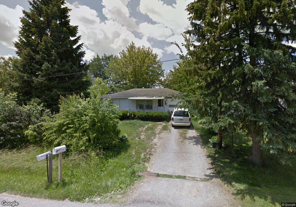
1067 Woodside Dr Mansfield, OH 44906
Estimated Value: $68,000 - $96,000
2
Beds
1
Bath
720
Sq Ft
$117/Sq Ft
Est. Value
About This Home
This home is located at 1067 Woodside Dr, Mansfield, OH 44906 and is currently estimated at $84,223, approximately $116 per square foot. 1067 Woodside Dr is a home located in Richland County with nearby schools including Foundation Academy, Mansfield Elective Academy, and Goal Digital Academy.
Ownership History
Date
Name
Owned For
Owner Type
Purchase Details
Closed on
Aug 23, 2007
Sold by
Estate Of Earl David Ingram
Bought by
Snyder Amy
Current Estimated Value
Create a Home Valuation Report for This Property
The Home Valuation Report is an in-depth analysis detailing your home's value as well as a comparison with similar homes in the area
Home Values in the Area
Average Home Value in this Area
Purchase History
| Date | Buyer | Sale Price | Title Company |
|---|---|---|---|
| Snyder Amy | -- | None Available |
Source: Public Records
Tax History Compared to Growth
Tax History
| Year | Tax Paid | Tax Assessment Tax Assessment Total Assessment is a certain percentage of the fair market value that is determined by local assessors to be the total taxable value of land and additions on the property. | Land | Improvement |
|---|---|---|---|---|
| 2024 | $2,335 | $13,980 | $2,830 | $11,150 |
| 2023 | $2,224 | $13,980 | $2,830 | $11,150 |
| 2022 | $2,212 | $14,100 | $2,680 | $11,420 |
| 2021 | $2,084 | $14,100 | $2,680 | $11,420 |
| 2020 | $2,131 | $14,100 | $2,680 | $11,420 |
| 2019 | $2,087 | $11,950 | $2,280 | $9,670 |
| 2018 | $1,348 | $11,950 | $2,280 | $9,670 |
| 2017 | $1,024 | $11,950 | $2,280 | $9,670 |
| 2016 | $888 | $12,140 | $2,330 | $9,810 |
| 2015 | $888 | $12,140 | $2,330 | $9,810 |
| 2014 | $822 | $12,140 | $2,330 | $9,810 |
| 2012 | $430 | $12,780 | $2,450 | $10,330 |
Source: Public Records
Map
Nearby Homes
- 1170 Fairfax Ave
- 933 Fairfax Ave
- 946 Belmont Ave
- 874 Fairfax Ave
- 1592 Walker Woods Blvd
- 1169 Seminole Ave
- 1168 & 1171 Seminole Ave
- 0 Walker Lake Rd
- 1631 Deer View Cir
- Lot 2 Spring Village Ln
- 0 Stone Rd
- 1645 Spring Village Ln
- 641 Averill Ave
- 0 Spring Village Ln
- 356 Warren Rd
- 1396 Spring Village Dr Unit 1398
- 340 Boston Ave
- 0 Highway 30
- 1694 Scarlett's Way
- 0 State Route 314 Unit 9069650
- 1051 Woodside Dr
- 1077 Woodside Dr
- 1081 Woodside Dr
- 1070 Woodside Dr
- 1087 Woodside Dr
- 1078 Woodside Dr
- 1039 Woodside Dr
- 1039 Woodside Dr
- 1091 Woodside Dr
- 1046 Woodside Dr
- 1084 Woodside Dr
- 1095 Woodside Dr
- 1040 Woodside Dr
- 1061 Truxell Dr
- 1053 Truxell Dr
- 1034 Woodside Dr
- 1035 Woodside Dr
- 1090 Woodside Dr
- 1103 Woodside Dr
- 1031 Woodside Dr