10670 Johnson Rd S Mobile, AL 36695
Westlake NeighborhoodEstimated Value: $351,000 - $661,000
3
Beds
3
Baths
2,200
Sq Ft
$201/Sq Ft
Est. Value
About This Home
This home is located at 10670 Johnson Rd S, Mobile, AL 36695 and is currently estimated at $442,769, approximately $201 per square foot. 10670 Johnson Rd S is a home located in Mobile County with nearby schools including Hutchens Elementary School, Dawes Intermediate School, and Bernice J Causey Middle School.
Ownership History
Date
Name
Owned For
Owner Type
Purchase Details
Closed on
May 18, 2020
Sold by
Burroughs Raymond D and Burroughs Angela C
Bought by
County Of Mobile
Current Estimated Value
Purchase Details
Closed on
Aug 8, 2009
Sold by
Lang Daniel
Bought by
Threlkeld Bobby
Purchase Details
Closed on
Jan 2, 2007
Sold by
Holbrook Kristin and Holbrook Chadwick
Bought by
Lang Daniel
Home Financials for this Owner
Home Financials are based on the most recent Mortgage that was taken out on this home.
Original Mortgage
$311,920
Interest Rate
7.6%
Mortgage Type
Purchase Money Mortgage
Create a Home Valuation Report for This Property
The Home Valuation Report is an in-depth analysis detailing your home's value as well as a comparison with similar homes in the area
Home Values in the Area
Average Home Value in this Area
Purchase History
| Date | Buyer | Sale Price | Title Company |
|---|---|---|---|
| County Of Mobile | $3,000 | Slt | |
| Threlkeld Bobby | -- | None Available | |
| Lang Daniel | -- | None Available |
Source: Public Records
Mortgage History
| Date | Status | Borrower | Loan Amount |
|---|---|---|---|
| Previous Owner | Lang Daniel | $311,920 |
Source: Public Records
Tax History
| Year | Tax Paid | Tax Assessment Tax Assessment Total Assessment is a certain percentage of the fair market value that is determined by local assessors to be the total taxable value of land and additions on the property. | Land | Improvement |
|---|---|---|---|---|
| 2025 | $1,782 | $36,670 | $3,400 | $33,270 |
| 2024 | $1,782 | $36,100 | $3,150 | $32,950 |
| 2023 | $1,536 | $31,570 | $3,150 | $28,420 |
| 2022 | $1,270 | $27,530 | $3,150 | $24,380 |
| 2021 | $1,286 | $27,890 | $2,080 | $25,810 |
| 2020 | $1,282 | $27,800 | $2,110 | $25,690 |
| 2019 | $1,218 | $26,480 | $2,110 | $24,370 |
| 2018 | $1,231 | $26,760 | $0 | $0 |
| 2017 | $1,301 | $26,760 | $0 | $0 |
| 2016 | $1,173 | $25,560 | $0 | $0 |
| 2013 | $1,017 | $21,420 | $0 | $0 |
Source: Public Records
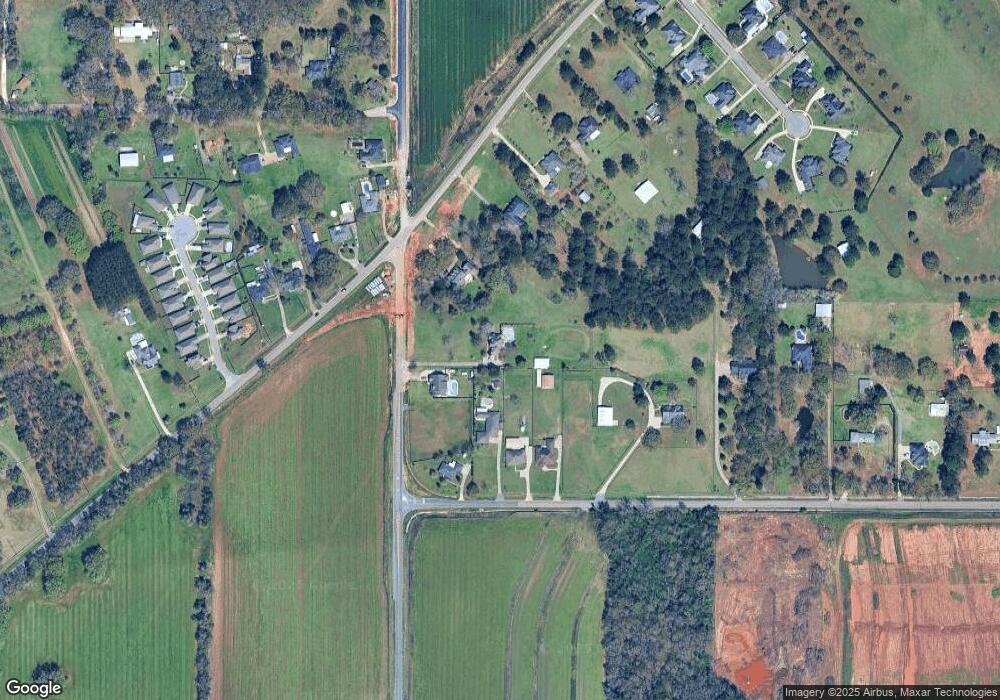
Map
Nearby Homes
- 10351 Jeff Hamilton Rd
- 0 Deer Crest Dr Unit 4
- 0 Deer Crest Dr Unit 7552478
- 10532 Ellenton St W
- 10518 Ellenton St W
- 3050 Jersey Dr W
- 10485 Ellenton St W
- 10497 Ellenton W
- 10511 Ellenton St W
- 10494 Ellenton St W
- 10521 Lowell St W
- 10595 Lowell St W
- 10550 Lowell St W
- 10508 Lowell St W
- 10520 Lowell St W
- 10501 Hopewell Loop
- 10523 Hopewell Loop
- 10491 Hopewell Loop
- 10479 Hopewell Loop
- 3387 Deer Crest Dr
- 10630 Johnson Rd S
- 10600 Jeff Hamilton Rd
- 10572 Johnson Rd S
- 10558 Johnson Rd S
- 10544 Johnson Rd S
- 10500 Johnson Rd S
- 10561 Jeff Hamilton Rd
- 10555 Jeff Hamilton Rd
- 10630 Jeff Hamilton Rd
- 10620 Jeff Hamilton Rd
- 10650 Jeff Hamilton Rd
- 10640 Jeff Hamilton Rd
- 10551 Jeff Hamilton Rd
- 10460 Johnson Rd S
- 10670 Jeff Hamilton Rd
- 10670 Jeff Hamilton Rd
- 3067 Notsram Ct
- 3059 Notsram Ct
- 3051 Notsram Ct
- 3043 Notsram Ct
Your Personal Tour Guide
Ask me questions while you tour the home.