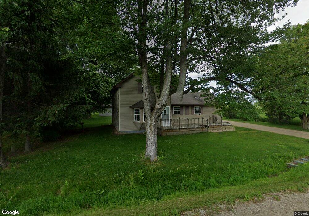
10670 Metcalf Rd Brockway, MI 48097
Brockway Township NeighborhoodEstimated Value: $225,000 - $344,000
3
Beds
2
Baths
1,360
Sq Ft
$198/Sq Ft
Est. Value
About This Home
This home is located at 10670 Metcalf Rd, Brockway, MI 48097 and is currently estimated at $268,845, approximately $197 per square foot. 10670 Metcalf Rd is a home located in St. Clair County with nearby schools including Yale Senior High School.
Ownership History
Date
Name
Owned For
Owner Type
Purchase Details
Closed on
Mar 1, 2007
Sold by
Wilt Catherine M
Bought by
Us Bank Na
Current Estimated Value
Purchase Details
Closed on
Nov 2, 2004
Sold by
Milett Joseph T and Milett Jennifer L
Bought by
Wilt Catherine M
Create a Home Valuation Report for This Property
The Home Valuation Report is an in-depth analysis detailing your home's value as well as a comparison with similar homes in the area
Home Values in the Area
Average Home Value in this Area
Purchase History
| Date | Buyer | Sale Price | Title Company |
|---|---|---|---|
| Us Bank Na | $129,432 | None Available | |
| Wilt Catherine M | -- | None Available |
Source: Public Records
Tax History Compared to Growth
Tax History
| Year | Tax Paid | Tax Assessment Tax Assessment Total Assessment is a certain percentage of the fair market value that is determined by local assessors to be the total taxable value of land and additions on the property. | Land | Improvement |
|---|---|---|---|---|
| 2025 | $1,735 | $120,900 | $0 | $0 |
| 2024 | $655 | $101,700 | $0 | $0 |
| 2023 | $624 | $110,900 | $0 | $0 |
| 2022 | $1,580 | $94,100 | $0 | $0 |
| 2021 | $1,472 | $78,400 | $0 | $0 |
| 2020 | $1,472 | $68,900 | $5,600 | $63,300 |
| 2019 | $1,439 | $63,900 | $0 | $0 |
| 2018 | $1,415 | $58,800 | $0 | $0 |
| 2016 | $528 | $52,600 | $0 | $0 |
| 2015 | -- | $52,600 | $0 | $52,600 |
| 2014 | -- | $45,300 | $0 | $45,300 |
| 2013 | -- | $45,600 | $0 | $0 |
Source: Public Records
Map
Nearby Homes
- V/L Rose Rd Unit V/L Metcalf
- 10103 Beard Rd
- 6399 Bricker Rd
- 10805 Wilkes Rd
- 9690 Avoca Rd
- 11120 Wilkes Rd
- 5699 Connell Rd
- 4697 Emmett Rd
- 11705 Norman Rd
- 00 Foley Rd
- 0001 Foley Rd
- 9817 Oatman Rd
- 9883 Metcalf Rd
- vacant Kilgore Rd
- 8897 Avoca Rd
- 5901 Quain Rd
- VL Speaker Rd
- 00 Cherry
- 209 S Brockway Rd
- 9 Livingston St
- 6050 6th St
- 00 Metcalf
- 10688 Metcalf Rd
- 10698 Metcalf Rd
- 10683 Metcalf Rd
- 10683 Metcalf Rd
- 10683 Metcalf Rd
- 10683 Metcalf Rd
- 10683 Metcalf Rd
- 10683 Metcalf Rd
- 10653 Metcalf Rd
- 01 Metcalf
- 6065 6th St
- 10706 Metcalf Rd
- 6069 6th St
- 6069 6th St
- 6069 6th St
- 10615 Metcalf Rd
- 10712 Metcalf Rd
- 10601 Metcalf Rd