10671 Royston Hwy Royston, GA 30662
Estimated Value: $196,000 - $321,000
2
Beds
2
Baths
1,484
Sq Ft
$181/Sq Ft
Est. Value
About This Home
This home is located at 10671 Royston Hwy, Royston, GA 30662 and is currently estimated at $268,084, approximately $180 per square foot. 10671 Royston Hwy is a home located in Hart County with nearby schools including Hart County High School, Grace Ranch Academy, and Goldmine Christian Academy.
Ownership History
Date
Name
Owned For
Owner Type
Purchase Details
Closed on
Oct 18, 2011
Sold by
Federal Home Loan
Bought by
Longworth Steven
Current Estimated Value
Purchase Details
Closed on
Sep 12, 2011
Sold by
Ocwen Loan Servicing Llc
Bought by
Federal Home Loan Mortgage Corporation
Purchase Details
Closed on
Jun 7, 2011
Sold by
Ocwen Loan Servicing
Bought by
Federal Home Loan
Purchase Details
Closed on
Jun 1, 2000
Purchase Details
Closed on
Oct 1, 1962
Create a Home Valuation Report for This Property
The Home Valuation Report is an in-depth analysis detailing your home's value as well as a comparison with similar homes in the area
Home Values in the Area
Average Home Value in this Area
Purchase History
| Date | Buyer | Sale Price | Title Company |
|---|---|---|---|
| Longworth Steven | $21,000 | -- | |
| Federal Home Loan Mortgage Corporation | $89,100 | -- | |
| Federal Home Loan | $89,079 | -- | |
| Ocwen Loan Servicing | $89,079 | -- | |
| -- | -- | -- | |
| -- | -- | -- |
Source: Public Records
Tax History Compared to Growth
Tax History
| Year | Tax Paid | Tax Assessment Tax Assessment Total Assessment is a certain percentage of the fair market value that is determined by local assessors to be the total taxable value of land and additions on the property. | Land | Improvement |
|---|---|---|---|---|
| 2024 | $870 | $58,307 | $8,367 | $49,940 |
| 2023 | $814 | $50,884 | $6,916 | $43,968 |
| 2022 | $718 | $45,088 | $6,099 | $38,989 |
| 2021 | $697 | $39,597 | $3,216 | $36,381 |
| 2020 | $702 | $38,245 | $3,130 | $35,115 |
| 2019 | $694 | $37,481 | $3,130 | $34,351 |
| 2018 | $730 | $38,925 | $3,130 | $35,795 |
| 2017 | $726 | $38,538 | $3,130 | $35,408 |
| 2016 | $741 | $38,105 | $2,178 | $35,927 |
| 2015 | $694 | $37,666 | $2,778 | $34,889 |
| 2014 | $664 | $35,420 | $1,685 | $33,734 |
| 2013 | -- | $36,542 | $1,685 | $34,857 |
Source: Public Records
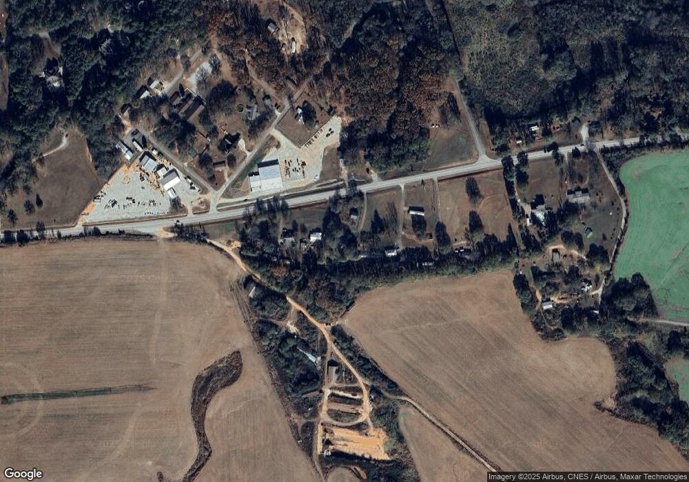
Map
Nearby Homes
- 342 Phillips Cir
- 204 Detter Rd Unit 5 HOMES ON 3.26 ACRE
- 00 Georgia 17
- 406 Abc Farm Rd
- 256 Adams Place Rd
- 134 College St
- 157 Hartwell St
- 331 College St Unit 331 & 333
- 157 Grizzle St
- 641 Church St
- 0 Wildcat Bridge Rd Unit 23872265
- 0 Wildcat Bridge Rd Unit 10544672
- 464 Church St
- LOT 6 Pine Valley Dr
- 190 Jordan St
- 121 Cook St
- 40 Burch St
- 320 Pine Valley Dr
- 10 Deerfield Ln
- 60 Strickland St
- 10673 Royston Hwy
- 60 Azalea Dr
- 10715 Royston Hwy
- 65 Azalea Dr
- 10645 Royston Hwy
- 10632 Royston Hwy
- 0 Phillips Cir Unit 7459373
- 0 Phillips Cir Unit 8121396
- 10579 Royston Hwy
- 1370 Coldwater Rd NW
- 246 Phillips Cir
- 218 Phillips Cir
- 1556 Grace Baptist Church Rd
- 10557 Royston Hwy
- 10525 Royston Hwy
- 123 Phillips Cir
- 170 Phillips Cir
- 302 Phillips Cir
- 302 Bible Baptist Church Rd
- 79 Phillips Cir