Estimated Value: $141,000 - $156,000
2
Beds
1
Bath
686
Sq Ft
$216/Sq Ft
Est. Value
About This Home
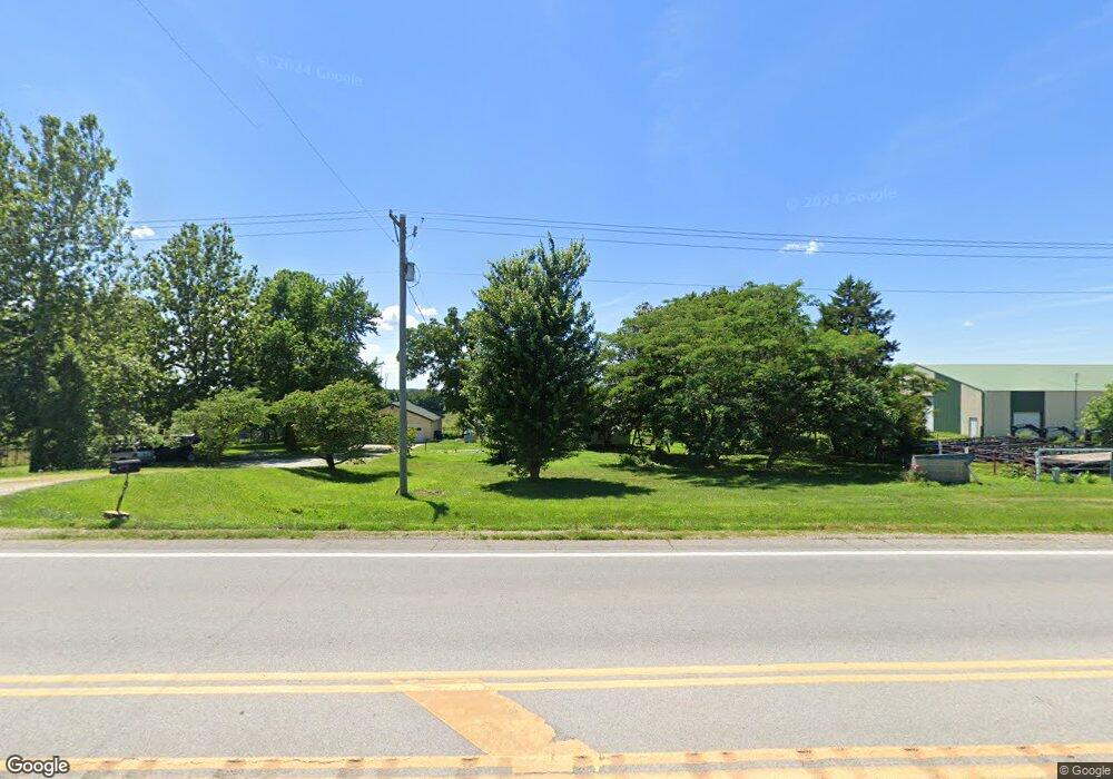
This home is located at 10673 State Highway 37, Purdy, MO 65734 and is currently estimated at $148,500, approximately $216 per square foot. 10673 State Highway 37 is a home with nearby schools including Eunice Thomas Elementary School, Cassville Intermediate School, and Cassville Middle School.
Ownership History
Date
Name
Owned For
Owner Type
Purchase Details
Closed on
Dec 27, 2024
Sold by
Smith Angela K and Phipps Marvin E
Bought by
B Stehlik Real Estate Investments Llc
Current Estimated Value
Purchase Details
Closed on
Nov 20, 2023
Sold by
Wormington Damon Lavon and Gayle Ann
Bought by
Wormington Family Revocable Trust and Wormington
Create a Home Valuation Report for This Property
The Home Valuation Report is an in-depth analysis detailing your home's value as well as a comparison with similar homes in the area
Home Values in the Area
Average Home Value in this Area
Purchase History
| Date | Buyer | Sale Price | Title Company |
|---|---|---|---|
| B Stehlik Real Estate Investments Llc | -- | Barry County Abstract & Title | |
| B Stehlik Real Estate Investments Llc | -- | Barry County Abstract & Title | |
| Wormington Family Revocable Trust | -- | None Listed On Document |
Source: Public Records
Tax History Compared to Growth
Tax History
| Year | Tax Paid | Tax Assessment Tax Assessment Total Assessment is a certain percentage of the fair market value that is determined by local assessors to be the total taxable value of land and additions on the property. | Land | Improvement |
|---|---|---|---|---|
| 2025 | $200 | $3,743 | $1,425 | $2,318 |
| 2024 | $200 | $3,553 | $1,425 | $2,128 |
| 2023 | $199 | $3,553 | $1,425 | $2,128 |
| 2022 | $159 | $3,173 | $1,045 | $2,128 |
| 2021 | $177 | $3,173 | $1,045 | $2,128 |
| 2020 | $177 | $3,173 | $1,045 | $2,128 |
| 2018 | $174 | $3,458 | $1,045 | $2,413 |
| 2017 | $174 | $3,458 | $1,045 | $2,413 |
| 2016 | $149 | $2,945 | $950 | $1,995 |
| 2015 | -- | $2,945 | $950 | $1,995 |
| 2014 | -- | $2,850 | $950 | $1,900 |
| 2012 | -- | $0 | $0 | $0 |
Source: Public Records
Map
Nearby Homes
- 10603 N Main St
- 10106 N Maple St
- 000-B Farm Road 1090
- 000-A Farm Road 1090
- 8959 Private Road 1058
- 605 4th St
- 000 Farm Road 2085
- 13915 Farm Road 1115
- 12791 Farm Road 1045
- 000 Farm Road 2140
- 15223 State Highway 37
- 000 Farm Road 1047
- 3110 Main St
- 106 Rosedale St
- 1408 Nottingham Dr
- 1407 Nottingham Dr
- 303 Melton Way
- 14396 Farm Road 2140
- 1002 Lake Road Dr
- 301 Blackberry Ct
- 10877 State Highway 37
- 10786 State Highway 37
- 11075 State Highway 37
- 11139 State Highway 37
- 10602 State Highway 37
- 8275 Farm Road 2112
- 8760 State Highway Hh
- 039 Farm Road 2112
- Xoxo Farm Road 2112
- Tbd Farm Road 2112
- Xxxx Farm Road 2112
- 8271 Farm Road 2112
- 8622 State Highway Hh
- 20.0 Farm Farm Road 2112
- 8537 Farm Road 2115
- 8651 Farm Road 2115 Unit 2115
- 8651 Farm Road 2115
- 218 E Broadway St
- 7996 Farm Road 2112
- 11526 State Highway 37