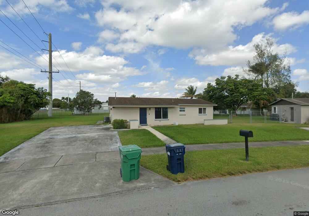
10673 SW 142nd Ln Miami, FL 33176
Richmond Heights NeighborhoodEstimated Value: $478,000 - $558,000
3
Beds
1
Bath
1,227
Sq Ft
$417/Sq Ft
Est. Value
About This Home
This home is located at 10673 SW 142nd Ln, Miami, FL 33176 and is currently estimated at $512,147, approximately $417 per square foot. 10673 SW 142nd Ln is a home located in Miami-Dade County with nearby schools including Frank Crawford Martin International Center, Richmond Heights Middle School, and Arthur And Polly Mays Conservatory Of The Arts.
Ownership History
Date
Name
Owned For
Owner Type
Purchase Details
Closed on
Jul 21, 2005
Sold by
Alexander Mary and Alexander Raymond
Bought by
Joseph Thyra
Current Estimated Value
Home Financials for this Owner
Home Financials are based on the most recent Mortgage that was taken out on this home.
Original Mortgage
$148,500
Outstanding Balance
$83,381
Interest Rate
6.85%
Mortgage Type
Unknown
Estimated Equity
$428,766
Purchase Details
Closed on
Aug 31, 2004
Sold by
Sylvester Cyril D and Sylvester Queen E
Bought by
Alexander Raymond and Alexander Mary
Home Financials for this Owner
Home Financials are based on the most recent Mortgage that was taken out on this home.
Original Mortgage
$124,200
Interest Rate
7.72%
Mortgage Type
Unknown
Create a Home Valuation Report for This Property
The Home Valuation Report is an in-depth analysis detailing your home's value as well as a comparison with similar homes in the area
Home Values in the Area
Average Home Value in this Area
Purchase History
| Date | Buyer | Sale Price | Title Company |
|---|---|---|---|
| Joseph Thyra | $165,000 | -- | |
| Alexander Raymond | $144,000 | Title Tech Llc |
Source: Public Records
Mortgage History
| Date | Status | Borrower | Loan Amount |
|---|---|---|---|
| Open | Joseph Thyra | $148,500 | |
| Previous Owner | Alexander Raymond | $124,200 |
Source: Public Records
Tax History Compared to Growth
Tax History
| Year | Tax Paid | Tax Assessment Tax Assessment Total Assessment is a certain percentage of the fair market value that is determined by local assessors to be the total taxable value of land and additions on the property. | Land | Improvement |
|---|---|---|---|---|
| 2025 | $1,669 | $94,303 | -- | -- |
| 2024 | $1,480 | $91,646 | -- | -- |
| 2023 | $1,480 | $88,977 | $0 | $0 |
| 2022 | $1,395 | $86,386 | $0 | $0 |
| 2021 | $1,357 | $83,870 | $0 | $0 |
| 2020 | $1,341 | $82,713 | $0 | $0 |
| 2019 | $1,310 | $80,854 | $0 | $0 |
| 2018 | $1,240 | $79,347 | $0 | $0 |
| 2017 | $1,215 | $77,715 | $0 | $0 |
| 2016 | $1,176 | $76,117 | $0 | $0 |
| 2015 | $1,179 | $75,588 | $0 | $0 |
| 2014 | -- | $74,989 | $0 | $0 |
Source: Public Records
Map
Nearby Homes
- 10700 SW 139th Rd
- 10600 SW 140th St
- 10471 SW 141st Dr
- 10854 SW 141st Ln
- 10864 SW 141st Ln
- 10530 SW 146th St
- 14350 SW 109th Ave
- 14621 SW 106th Ave
- 14401 Pierce St
- 10371 SW 146th St
- 10341 SW 140th St
- 14700 SW 105th Ct
- 14721 Pierce St
- 14520 Fillmore St
- 14560 Fillmore St
- 14312 SW 110th Ave
- 14730 SW 104th Ct
- 13501 SW 107th Ave
- 14240 Graves Dr
- 10220 SW 140th St
- 10620 SW 141st Dr
- 10663 SW 142nd Ln
- 10610 SW 141st Dr
- 14240 SW 106th Ct
- 14225 SW 107th Ct
- 10653 SW 142nd Ln
- 14205 SW 107th Ct
- 10600 SW 141st Dr
- 14155 SW 107th Ct
- 10630 SW 141st Dr
- 10560 SW 141st Dr
- 10631 SW 141st Dr
- 14300 SW 106th Ct
- 14274 SW 105th Place
- 10611 SW 141st Dr
- 14305 SW 107th Ct
- 10601 SW 141st Dr
- 14245 SW 107th Ct
- 10621 SW 141st Dr
- 10550 SW 141st Dr