106741 S 4720 Rd Muldrow, OK 74948
Estimated Value: $169,000 - $251,000
3
Beds
2
Baths
1,904
Sq Ft
$117/Sq Ft
Est. Value
About This Home
This home is located at 106741 S 4720 Rd, Muldrow, OK 74948 and is currently estimated at $223,114, approximately $117 per square foot. 106741 S 4720 Rd is a home with nearby schools including Muldrow Elementary School, Muldrow Middle School, and Muldrow High School.
Ownership History
Date
Name
Owned For
Owner Type
Purchase Details
Closed on
Jul 1, 2021
Sold by
English Larry and English Deborah
Bought by
Mills Stephen and Mills Heather
Current Estimated Value
Home Financials for this Owner
Home Financials are based on the most recent Mortgage that was taken out on this home.
Original Mortgage
$107,070
Outstanding Balance
$97,149
Interest Rate
2.9%
Mortgage Type
New Conventional
Estimated Equity
$125,965
Purchase Details
Closed on
Jul 23, 2020
Sold by
Biggers Mildred L
Bought by
English Larry and English Deborah
Purchase Details
Closed on
Jun 17, 2004
Sold by
English Larry W and English Deborah
Bought by
Biggersmildred L Trust
Create a Home Valuation Report for This Property
The Home Valuation Report is an in-depth analysis detailing your home's value as well as a comparison with similar homes in the area
Home Values in the Area
Average Home Value in this Area
Purchase History
| Date | Buyer | Sale Price | Title Company |
|---|---|---|---|
| Mills Stephen | $106,000 | Old Republic Natl Ttl Ins Co | |
| English Larry | -- | None Available | |
| Biggersmildred L Trust | -- | -- |
Source: Public Records
Mortgage History
| Date | Status | Borrower | Loan Amount |
|---|---|---|---|
| Open | Mills Stephen | $107,070 |
Source: Public Records
Tax History Compared to Growth
Tax History
| Year | Tax Paid | Tax Assessment Tax Assessment Total Assessment is a certain percentage of the fair market value that is determined by local assessors to be the total taxable value of land and additions on the property. | Land | Improvement |
|---|---|---|---|---|
| 2024 | $902 | $12,084 | $950 | $11,134 |
| 2023 | $859 | $11,509 | $945 | $10,564 |
| 2022 | $779 | $10,961 | $939 | $10,022 |
| 2021 | $742 | $10,961 | $939 | $10,022 |
| 2020 | $635 | $9,942 | $923 | $9,019 |
| 2019 | $615 | $9,652 | $893 | $8,759 |
| 2018 | $595 | $9,371 | $858 | $8,513 |
| 2017 | $576 | $9,099 | $816 | $8,283 |
| 2016 | $557 | $8,833 | $783 | $8,050 |
| 2015 | $538 | $8,576 | $753 | $7,823 |
| 2014 | $521 | $8,326 | $723 | $7,603 |
Source: Public Records
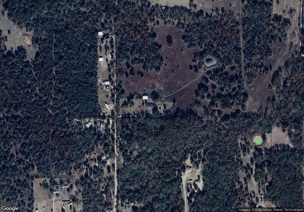
Map
Nearby Homes
- 471804 E 1070 Rd
- 106214 S 4720 Rd
- TBD S 4727 Rd
- 106078 S 4715 Rd
- 107774 S 4720
- 475745 E 1083 Rd
- 105629 S 4730 Rd
- 108412 S 4720 Rd
- 105750 S 4700 Rd
- 109651 S 4720 Rd
- 469517 E 1060 Rd
- 103941 S 4730 Rd
- Tbd Water Tower Rd
- 203 Pendergrass St
- TBD S 4720 Rd
- 106438 S 4757 Rd
- 103891 Oklahoma 64b
- 470025 Oklahoma 101
- 106219 S 4757 Rd
- 103 NE 1st St
- 106801 S 4720 Rd
- 472155 E 1070 Rd
- 106694 S 4720 Rd
- 106608 S 4720 Rd
- 106914 S 4720 Rd
- 106936 S 4720 Rd
- 472059 E 1070 Rd
- 472255 E 1065 Rd
- 472016 E 1070 Rd
- 472214 E 1070 Rd
- 472062 E 1070 Rd
- 471933 E 1070 Rd
- 472258 E 1070 Rd
- 472555 E 1070 Rd
- 471861 E 1070 Rd Unit R
- 472365 E 1065 Rd
- 472316 E 1070 Rd
- 471958 E 1070 Rd
- 472360 E 1070 Rd
- 472460 E 1065 Rd