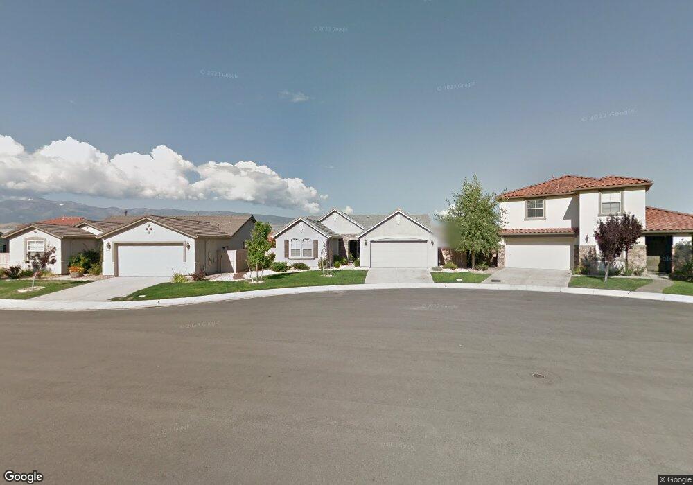
10675 Birch Point Cir Reno, NV 89521
Virginia Foothills NeighborhoodEstimated Value: $659,750 - $703,000
3
Beds
2
Baths
1,933
Sq Ft
$353/Sq Ft
Est. Value
About This Home
This home is located at 10675 Birch Point Cir, Reno, NV 89521 and is currently estimated at $681,438, approximately $352 per square foot. 10675 Birch Point Cir is a home located in Washoe County with nearby schools including Jwood Raw Elementary School, Kendyl Depoali Middle School, and Damonte Ranch High School.
Ownership History
Date
Name
Owned For
Owner Type
Purchase Details
Closed on
Jan 25, 2006
Sold by
Lennar Reno Llc
Bought by
Lolli Glenn M and Lolli Mary O
Current Estimated Value
Home Financials for this Owner
Home Financials are based on the most recent Mortgage that was taken out on this home.
Original Mortgage
$275,850
Outstanding Balance
$155,385
Interest Rate
6.21%
Mortgage Type
Fannie Mae Freddie Mac
Estimated Equity
$526,053
Create a Home Valuation Report for This Property
The Home Valuation Report is an in-depth analysis detailing your home's value as well as a comparison with similar homes in the area
Home Values in the Area
Average Home Value in this Area
Purchase History
| Date | Buyer | Sale Price | Title Company |
|---|---|---|---|
| Lolli Glenn M | $394,500 | North American Title Co |
Source: Public Records
Mortgage History
| Date | Status | Borrower | Loan Amount |
|---|---|---|---|
| Open | Lolli Glenn M | $275,850 |
Source: Public Records
Tax History Compared to Growth
Tax History
| Year | Tax Paid | Tax Assessment Tax Assessment Total Assessment is a certain percentage of the fair market value that is determined by local assessors to be the total taxable value of land and additions on the property. | Land | Improvement |
|---|---|---|---|---|
| 2025 | $3,820 | $144,309 | $44,800 | $99,509 |
| 2024 | $3,820 | $139,833 | $39,690 | $100,143 |
| 2023 | $3,710 | $140,903 | $46,235 | $94,668 |
| 2022 | $3,603 | $113,963 | $35,210 | $78,753 |
| 2021 | $3,337 | $107,903 | $29,715 | $78,188 |
| 2020 | $3,140 | $107,909 | $29,715 | $78,194 |
| 2019 | $2,989 | $102,785 | $27,300 | $75,485 |
| 2018 | $2,849 | $94,179 | $20,370 | $73,809 |
| 2017 | $2,737 | $93,192 | $19,390 | $73,802 |
| 2016 | $2,669 | $93,440 | $17,920 | $75,520 |
| 2015 | $2,664 | $89,415 | $14,385 | $75,030 |
| 2014 | $2,558 | $86,508 | $14,665 | $71,843 |
| 2013 | -- | $67,353 | $11,550 | $55,803 |
Source: Public Records
Map
Nearby Homes
- 10630 Birch Point Ct
- 10735 Copper Lake Dr Unit 15A
- 10650 Cedar Bend Ct
- 2590 Spring Flower Dr
- 10595 Baton Ct
- 10841 Crooked Canyon Dr
- 2155 Eagle Greens Dr
- 10825 Farmstead Ln
- 10700 Summer Glen Dr
- 10698 Autumn Walk Ln
- 2021 Wind Ranch Rd Unit C
- 1932 Wind Ranch Rd Unit C
- 1920 Wind Ranch Rd Unit C
- 10079 Cascade Falls Dr
- 1864 Wind Ranch Rd Unit C
- 10135 Burghley Ct
- 10677 Foxberry Park Dr
- 1828 Wind Ranch Rd Unit C
- 10643 Brittany Park Dr
- 2432 Kate's Bridge Dr Unit Glenwood 546
- 10695 Birch Point Cir
- 10655 Birch Point Cir
- 2416 Spring Flower Dr
- 2424 Spring Flower Dr
- 2408 Spring Flower Dr
- 10635 Birch Point Ct
- 10635 Birch Point Cir
- 2432 Spring Flower Dr
- 10690 Birch Point Ct
- 10690 Birch Point Cir
- 2440 Spring Flower Dr
- 10630 Birch Point Cir
- 10687 Fire Poppy Cir
- 10670 Birch Point Ct
- 10670 Birch Point Cir
- 10683 Fire Poppy Cir
- 10691 Fire Poppy Cir
- 2448 Spring Flower Dr
- 10650 Birch Point Ct
- 10678 Fire Poppy Cir