10675 County Road 24 Fairhope, AL 36532
Estimated Value: $596,000 - $707,639
4
Beds
3
Baths
2,600
Sq Ft
$242/Sq Ft
Est. Value
About This Home
This home is located at 10675 County Road 24, Fairhope, AL 36532 and is currently estimated at $629,660, approximately $242 per square foot. 10675 County Road 24 is a home located in Baldwin County with nearby schools including J. Larry Newton School, Fairhope Middle School, and Fairhope High School.
Ownership History
Date
Name
Owned For
Owner Type
Purchase Details
Closed on
Sep 9, 2011
Sold by
Langner Donald W and Langner Blanche G
Bought by
Vandergrift Ronnie J and Vandergrift Jessica A
Current Estimated Value
Home Financials for this Owner
Home Financials are based on the most recent Mortgage that was taken out on this home.
Original Mortgage
$252,434
Outstanding Balance
$172,783
Interest Rate
4.25%
Mortgage Type
FHA
Estimated Equity
$456,877
Create a Home Valuation Report for This Property
The Home Valuation Report is an in-depth analysis detailing your home's value as well as a comparison with similar homes in the area
Home Values in the Area
Average Home Value in this Area
Purchase History
| Date | Buyer | Sale Price | Title Company |
|---|---|---|---|
| Vandergrift Ronnie J | $259,434 | None Available |
Source: Public Records
Mortgage History
| Date | Status | Borrower | Loan Amount |
|---|---|---|---|
| Open | Vandergrift Ronnie J | $252,434 |
Source: Public Records
Tax History Compared to Growth
Tax History
| Year | Tax Paid | Tax Assessment Tax Assessment Total Assessment is a certain percentage of the fair market value that is determined by local assessors to be the total taxable value of land and additions on the property. | Land | Improvement |
|---|---|---|---|---|
| 2024 | $147 | $64,720 | $31,100 | $33,620 |
| 2023 | $1,824 | $60,300 | $29,080 | $31,220 |
| 2022 | $1,506 | $50,040 | $0 | $0 |
| 2021 | $1,318 | $43,980 | $0 | $0 |
| 2020 | $1,281 | $42,780 | $0 | $0 |
| 2019 | $992 | $37,040 | $0 | $0 |
| 2018 | $947 | $35,440 | $0 | $0 |
| 2017 | $895 | $33,560 | $0 | $0 |
| 2016 | $881 | $33,060 | $0 | $0 |
| 2015 | $867 | $32,560 | $0 | $0 |
| 2014 | $774 | $29,240 | $0 | $0 |
| 2013 | -- | $27,780 | $0 | $0 |
Source: Public Records
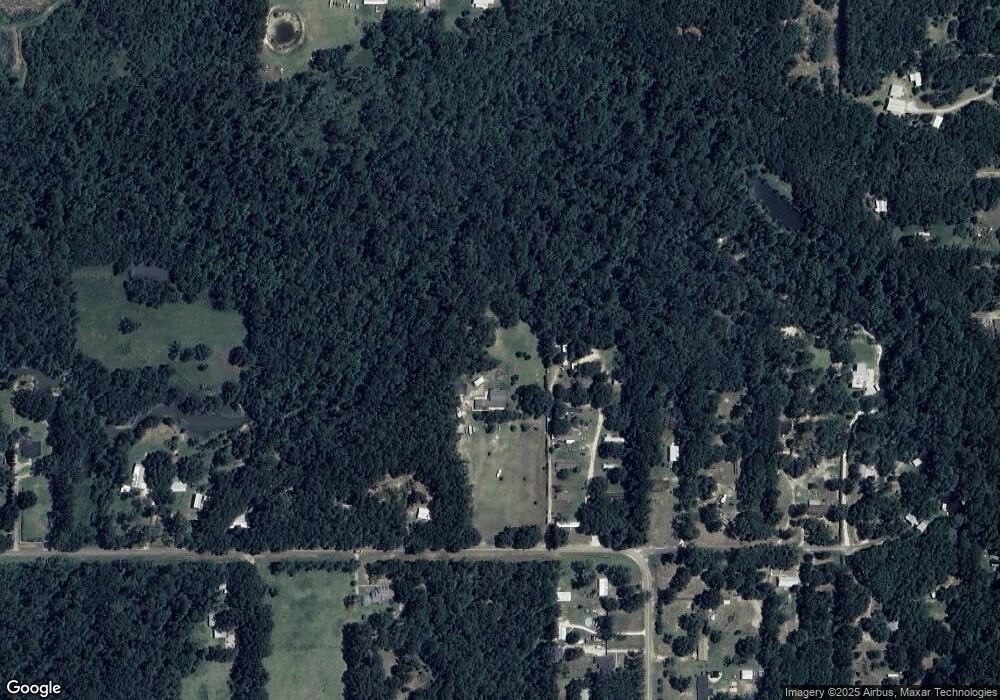
Map
Nearby Homes
- 10773 County Road 24
- 14905 Frego Ln
- 11103 Olive Ct Unit 2
- 16014 Laurelbrooke Loop
- 16022 Laurelbrooke Loop
- 16030 Laurelbrooke Loop
- 15965 Laurelbrooke Loop
- 16042 Laurelbrooke Loop
- 16017 Laurelbrooke Loop
- 16054 Laurelbrooke Loop
- 16039 Laurelbrooke Loop
- 16051 Laurelbrooke Loop
- 16075 Laurelbrooke Loop
- 16099 Laurelbrooke Loop
- 0 Sparrow Ave Unit 2
- 16277 Laurelbrooke Loop
- Cali Plan at Laurelbrooke
- The Ryder Plan at Laurelbrooke
- Kelly Plan at Laurelbrooke
- Lakeside Plan at Laurelbrooke
- 10571 County Road 24
- 10597 County Road 24
- 10725 County Road 24
- 10725 County Road 24 Unit 10
- 10715 County Road 24
- 10715 County Road 24 Unit 10
- 10715 County Road 24 Unit 2
- 10740 County Road 24
- 10740 County Road 24 Unit 24
- 10521 County Road 24
- 10600 County Road 24
- 10600 County Road 24 Unit 24
- 10720 County Road 24
- 10775 Sandy Ln
- 10775 Sandy Ln
- 10758 County Road 24
- 10833 Sandy Ln
- 10743 County Road 24
- 10770 County Road 24
- 10460 County Road 24