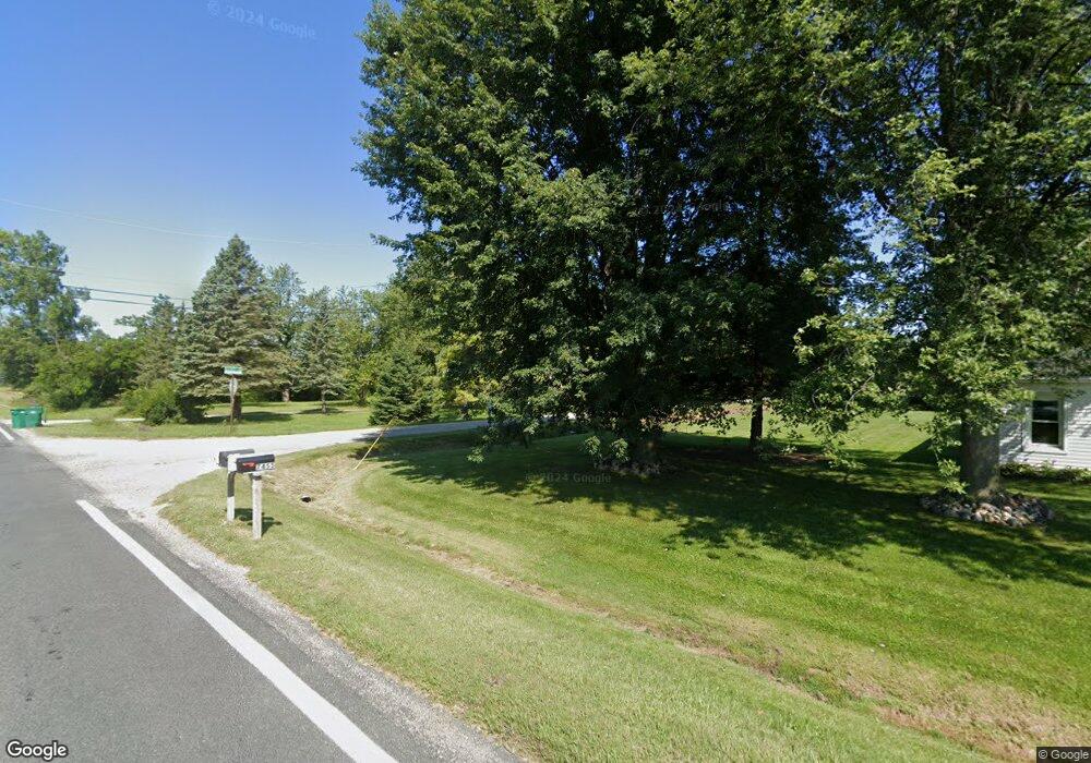
10675 Martz Rd Unit Bldg-Unit Ypsilanti, MI 48197
Estimated Value: $230,000 - $330,000
3
Beds
2
Baths
1,336
Sq Ft
$216/Sq Ft
Est. Value
About This Home
This home is located at 10675 Martz Rd Unit Bldg-Unit, Ypsilanti, MI 48197 and is currently estimated at $288,463, approximately $215 per square foot. 10675 Martz Rd Unit Bldg-Unit is a home located in Washtenaw County with nearby schools including Lincoln Senior High School and Keystone Academy.
Ownership History
Date
Name
Owned For
Owner Type
Purchase Details
Closed on
Jan 25, 2021
Sold by
Vanzomeren Wayne C
Bought by
Vanzomeren Wayne and Vanzomeren Van Zomeren
Current Estimated Value
Purchase Details
Closed on
Oct 2, 2018
Sold by
Rodgers Diana M
Bought by
Vanzomeren Wayne C
Home Financials for this Owner
Home Financials are based on the most recent Mortgage that was taken out on this home.
Original Mortgage
$141,600
Interest Rate
4.6%
Mortgage Type
New Conventional
Create a Home Valuation Report for This Property
The Home Valuation Report is an in-depth analysis detailing your home's value as well as a comparison with similar homes in the area
Home Values in the Area
Average Home Value in this Area
Purchase History
| Date | Buyer | Sale Price | Title Company |
|---|---|---|---|
| Vanzomeren Wayne | -- | None Available | |
| Vanzomeren Wayne C | $177,000 | Cislo Title Co |
Source: Public Records
Mortgage History
| Date | Status | Borrower | Loan Amount |
|---|---|---|---|
| Previous Owner | Vanzomeren Wayne C | $141,600 |
Source: Public Records
Tax History Compared to Growth
Tax History
| Year | Tax Paid | Tax Assessment Tax Assessment Total Assessment is a certain percentage of the fair market value that is determined by local assessors to be the total taxable value of land and additions on the property. | Land | Improvement |
|---|---|---|---|---|
| 2025 | -- | $102,500 | $0 | $0 |
| 2024 | -- | $118,000 | $0 | $0 |
| 2023 | -- | $96,300 | $0 | $0 |
| 2022 | $0 | $89,800 | $0 | $0 |
| 2021 | $4,303 | $99,100 | $0 | $0 |
| 2020 | $4,303 | $94,300 | $0 | $0 |
| 2019 | $4,303 | $92,100 | $92,100 | $0 |
| 2018 | $4,359 | $89,200 | $0 | $0 |
| 2017 | $4,322 | $89,700 | $0 | $0 |
| 2016 | $3,073 | $64,977 | $0 | $0 |
| 2015 | $2,894 | $64,783 | $0 | $0 |
| 2014 | $2,894 | $62,759 | $0 | $0 |
| 2013 | -- | $62,759 | $0 | $0 |
Source: Public Records
Map
Nearby Homes
- 10733 Martz Rd
- 8098 N Brookston Dr
- 10846 Ashley Ct
- 10092 Bemis Rd
- 6810 Patriot Ln
- 9977 Bemis Rd
- 51316 Freedom Way
- 8464 S Brookston Dr
- 6682 Congress St
- 51330 Capitol Dr
- 51102 Freedom Way
- 51344 Assembly St
- 9624 Martz Rd
- 8551 Boyer Dr
- 50155 Bemis Rd
- 49765 Martz Rd
- 9551 Falmouth Dr
- 7010 Bunton Rd
- 7329 Greenfield St
- 6252 W Adams
- 10675 Martz Rd
- 10675 Martz Rd
- 10695 Martz Rd
- 7455 Elliott Ln
- 7405 Elliott Ln
- 10605 Martz Rd
- 7343 Elliott Ln
- 10570 Martz Rd
- 10801 Martz Rd
- 10831 Martz Rd
- 7281 Elliott Ln
- 10900 Martz Rd
- 10466 Martz Rd
- 7480 Mckean Rd
- 7400 Mckean Rd
- 7386 Mckean Rd
- 7332 Mckean Rd
- 10456 Martz Rd
- 7410 Rawsonville Rd
- 7400 Rawsonville Rd Unit Bldg-Unit
