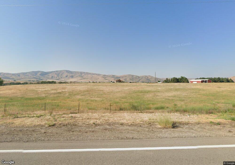
10675 N Highway 52 Horseshoe Bend, ID 83629
Gem County NeighborhoodEstimated Value: $842,000 - $1,073,000
3
Beds
3
Baths
2,432
Sq Ft
$400/Sq Ft
Est. Value
About This Home
This home is located at 10675 N Highway 52, Horseshoe Bend, ID 83629 and is currently estimated at $972,941, approximately $400 per square foot. 10675 N Highway 52 is a home located in Gem County with nearby schools including Sweet-Montour Elementary-Jr High School.
Ownership History
Date
Name
Owned For
Owner Type
Purchase Details
Closed on
Jun 3, 2008
Sold by
Emmett Irrigation District
Bought by
Pieratt James C and Pieratt Susan M
Current Estimated Value
Purchase Details
Closed on
Jul 6, 2005
Sold by
Hyde Norris and Hyde Norma
Bought by
Pieratt James C and Pieratt Susan M
Home Financials for this Owner
Home Financials are based on the most recent Mortgage that was taken out on this home.
Original Mortgage
$200,000
Interest Rate
5.58%
Mortgage Type
Seller Take Back
Create a Home Valuation Report for This Property
The Home Valuation Report is an in-depth analysis detailing your home's value as well as a comparison with similar homes in the area
Home Values in the Area
Average Home Value in this Area
Purchase History
| Date | Buyer | Sale Price | Title Company |
|---|---|---|---|
| Pieratt James C | -- | -- | |
| Pieratt James C | -- | -- |
Source: Public Records
Mortgage History
| Date | Status | Borrower | Loan Amount |
|---|---|---|---|
| Previous Owner | Pieratt James C | $200,000 |
Source: Public Records
Tax History Compared to Growth
Tax History
| Year | Tax Paid | Tax Assessment Tax Assessment Total Assessment is a certain percentage of the fair market value that is determined by local assessors to be the total taxable value of land and additions on the property. | Land | Improvement |
|---|---|---|---|---|
| 2024 | $1,953 | $832,365 | $335,458 | $496,907 |
| 2023 | $1,749 | $865,290 | $335,458 | $529,832 |
| 2021 | $2,469 | $662,731 | $201,824 | $460,907 |
| 2020 | $2,723 | $545,241 | $133,438 | $411,803 |
| 2019 | $2,875 | $546,146 | $124,917 | $421,229 |
| 2018 | $2,827 | $483,105 | $113,017 | $370,088 |
| 2017 | $2,994 | $429,270 | $98,500 | $330,770 |
| 2016 | $2,954 | $397,840 | $90,840 | $307,000 |
| 2015 | $2,491 | $360,240 | $76,600 | $283,640 |
| 2014 | $27,189 | $339,650 | $73,690 | $265,960 |
Source: Public Records
Map
Nearby Homes
- TBD Sweet Ola Hwy
- 5880 Sweet Ola Hwy
- Lot 1 Jake Ln
- Lot 2 Jake Ln
- 5400 Montour Rd
- 5375 Montour Rd
- Lot 7 Jake Ln
- 8011 Westridge Ln
- 6501 Sweet Ola Hwy
- 4001 Harmony Ln
- 11980 N Highway 52
- 7241 Sweet Ola Hwy
- 9605 Darnell Rd Unit Darnell Rd
- TBD
- TBD Pheasant Ln Lot 3
- TBD Pheasant Ln Lot 6
- TBD Pheasant Ln Lot 2
- 5208 Highway 52
- 107 Shirley Ln
- 11315 Timber Butte Dr
- 10665 N Highway 52
- 10691 N Highway 52
- 10300 N Highway 52
- 10720 N Highway 52
- 10705 N Highway 52
- 9925 N Highway 52
- 10730 N Highway 52
- 8+ acres N Highway 52
- 10100 Shelley Ave
- 10700 N Highway 52
- 9850 N Highway 52
- 9850 N Highway 52
- 9845 N Highway 52
- 10200 Wild Horse Cir
- 9825 N Highway 52
- 10250 Wildhorse Cir
- 9800 N Highway 52
- 9800 N Hwy 52
- 10150 Wild Horse Cir
- 9715 N Highway 52
