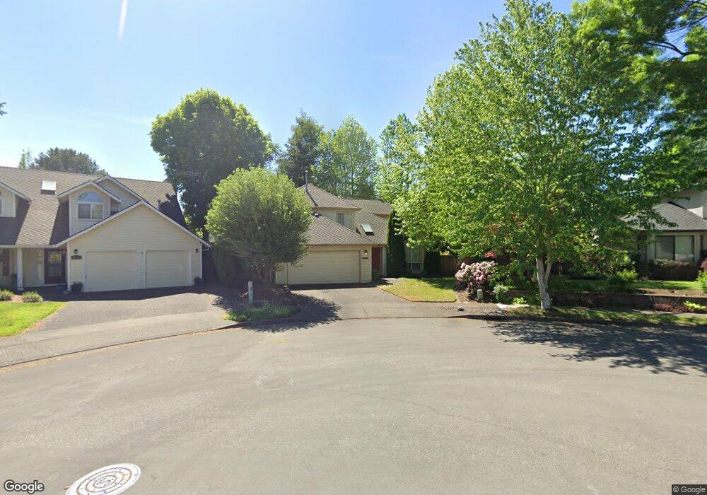
10675 SW 133rd Place Beaverton, OR 97008
South Beaverton NeighborhoodEstimated Value: $630,353 - $665,000
4
Beds
3
Baths
1,974
Sq Ft
$327/Sq Ft
Est. Value
About This Home
This home is located at 10675 SW 133rd Place, Beaverton, OR 97008 and is currently estimated at $645,088, approximately $326 per square foot. 10675 SW 133rd Place is a home located in Washington County with nearby schools including Hiteon Elementary School, Conestoga Middle School, and Southridge High School.
Ownership History
Date
Name
Owned For
Owner Type
Purchase Details
Closed on
Jul 11, 2016
Sold by
Oswego Lake
Bought by
Dugan Sweetwater Leff William and Dugan Sweetwater Jesse
Current Estimated Value
Home Financials for this Owner
Home Financials are based on the most recent Mortgage that was taken out on this home.
Original Mortgage
$297,000
Outstanding Balance
$236,433
Interest Rate
3.66%
Mortgage Type
New Conventional
Estimated Equity
$408,655
Purchase Details
Closed on
May 19, 1995
Sold by
Carter Terry L and Carter Sharon L
Bought by
Sherman Lee G and Sherman Debbie A
Home Financials for this Owner
Home Financials are based on the most recent Mortgage that was taken out on this home.
Original Mortgage
$120,000
Interest Rate
8.43%
Create a Home Valuation Report for This Property
The Home Valuation Report is an in-depth analysis detailing your home's value as well as a comparison with similar homes in the area
Home Values in the Area
Average Home Value in this Area
Purchase History
| Date | Buyer | Sale Price | Title Company |
|---|---|---|---|
| Dugan Sweetwater Leff William | $427,000 | Ticor Title | |
| Sherman Lee G | $176,950 | First American Title Ins Co |
Source: Public Records
Mortgage History
| Date | Status | Borrower | Loan Amount |
|---|---|---|---|
| Open | Dugan Sweetwater Leff William | $297,000 | |
| Previous Owner | Sherman Lee G | $120,000 |
Source: Public Records
Tax History Compared to Growth
Tax History
| Year | Tax Paid | Tax Assessment Tax Assessment Total Assessment is a certain percentage of the fair market value that is determined by local assessors to be the total taxable value of land and additions on the property. | Land | Improvement |
|---|---|---|---|---|
| 2026 | $7,387 | $360,630 | -- | -- |
| 2025 | $7,387 | $350,130 | -- | -- |
| 2024 | $6,975 | $339,940 | -- | -- |
| 2023 | $6,975 | $330,040 | $0 | $0 |
| 2022 | $6,675 | $330,040 | $0 | $0 |
| 2021 | $6,442 | $311,100 | $0 | $0 |
| 2020 | $6,246 | $302,040 | $0 | $0 |
| 2019 | $6,048 | $293,250 | $0 | $0 |
| 2018 | $5,855 | $284,710 | $0 | $0 |
| 2017 | $5,637 | $276,420 | $0 | $0 |
| 2016 | $5,440 | $268,370 | $0 | $0 |
| 2015 | $5,238 | $260,560 | $0 | $0 |
| 2014 | $5,127 | $252,980 | $0 | $0 |
Source: Public Records
Map
Nearby Homes
- 10835 SW Huntington Ave
- 10820 SW Huntington Ave
- 10830 SW Briarwood Place
- 10910 SW Huntington Ave
- 13180 SW Haystack Dr
- 10845 SW Summer Lake Dr
- 13775 SW Scholls Ferry Rd Unit 205
- 13775 SW Scholls Ferry Rd Unit 3
- 13775 SW Scholls Ferry Rd Unit 212
- 0 SW Scholls Ferry Rd
- 13250 SW Weir Rd
- 13850 SW Scholls Ferry Rd Unit 102
- 11325 SW Eucalyptus Place
- 9965 SW Pimlico Terrace
- 13495 SW Brittany Dr
- 11494 SW Lakeview Terrace
- 13675 SW Feiring Ln
- 9625 SW 130th Ave
- 11769 SW 129th Place
- 12808 SW Falcon Rise Dr
- 10655 SW 133rd Place
- 13405 SW Cougar Ct
- 10685 SW 133rd Place
- 13410 SW Cougar Ct
- 10695 SW 133rd Place
- 13380 SW Cottontail Ln
- 13425 SW Cougar Ct
- 13350 SW Cottontail Ln
- 10635 SW 133rd Place
- 13420 SW Cougar Ct
- 13400 SW Cottontail Ln
- 10690 SW 133rd Place
- 10670 SW 133rd Place
- 10650 SW 133rd Place
- 10615 SW 133rd Place
- 13435 SW Cougar Ct
- 13430 SW Cougar Ct
- 10630 SW 133rd Place
- 13440 SW Cottontail Ln
- 13455 SW Cougar Ct