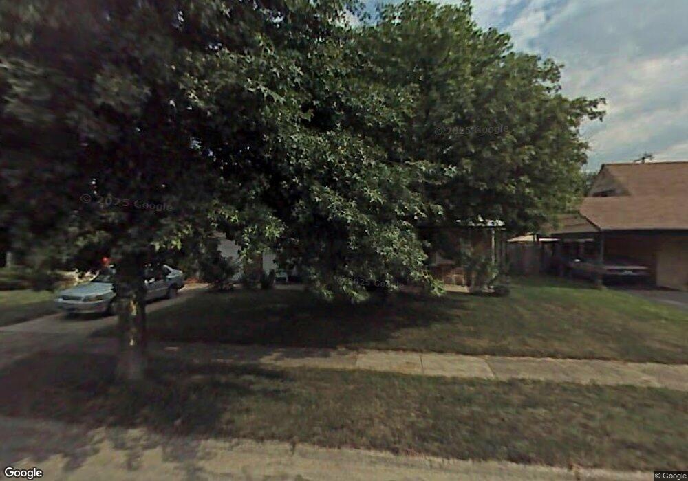
1068 Billie Dr Columbus, OH 43227
Shady Lane NeighborhoodEstimated Value: $158,000 - $218,000
2
Beds
1
Bath
933
Sq Ft
$192/Sq Ft
Est. Value
About This Home
This home is located at 1068 Billie Dr, Columbus, OH 43227 and is currently estimated at $179,056, approximately $191 per square foot. 1068 Billie Dr is a home located in Franklin County with nearby schools including Shady Lane Elementary School, Sherwood Middle School, and Walnut Ridge High School.
Ownership History
Date
Name
Owned For
Owner Type
Purchase Details
Closed on
Jan 31, 2022
Sold by
Filter Peggy C and Filter Kesty F
Bought by
Oneill Mary C
Current Estimated Value
Purchase Details
Closed on
Nov 19, 2021
Sold by
Filter Peggy C and Filter Kesty F
Bought by
Oneill Mary C
Purchase Details
Closed on
May 1, 1998
Sold by
Pennington Lillian
Bought by
Oneill Nelson S
Purchase Details
Closed on
Nov 13, 1992
Create a Home Valuation Report for This Property
The Home Valuation Report is an in-depth analysis detailing your home's value as well as a comparison with similar homes in the area
Home Values in the Area
Average Home Value in this Area
Purchase History
| Date | Buyer | Sale Price | Title Company |
|---|---|---|---|
| Oneill Mary C | $33,000 | Columbus Title | |
| Oneill Mary C | $33,000 | Columbus Title | |
| Oneill Nelson S | $58,500 | Esquire Title | |
| -- | -- | -- |
Source: Public Records
Tax History Compared to Growth
Tax History
| Year | Tax Paid | Tax Assessment Tax Assessment Total Assessment is a certain percentage of the fair market value that is determined by local assessors to be the total taxable value of land and additions on the property. | Land | Improvement |
|---|---|---|---|---|
| 2024 | $4,686 | $59,930 | $16,140 | $43,790 |
| 2023 | $2,711 | $59,920 | $16,135 | $43,785 |
| 2022 | $2,231 | $27,590 | $6,060 | $21,530 |
| 2021 | $1,527 | $27,590 | $6,060 | $21,530 |
| 2020 | $1,471 | $27,590 | $6,060 | $21,530 |
| 2019 | $1,469 | $21,210 | $4,830 | $16,380 |
| 2018 | $704 | $21,210 | $4,830 | $16,380 |
| 2017 | $737 | $21,210 | $4,830 | $16,380 |
| 2016 | $719 | $19,610 | $5,010 | $14,600 |
| 2015 | $653 | $19,610 | $5,010 | $14,600 |
| 2014 | $655 | $19,610 | $5,010 | $14,600 |
| 2013 | $426 | $23,065 | $5,880 | $17,185 |
Source: Public Records
Map
Nearby Homes
- 1130 Little Plum Ln
- 4991 Justin Rd
- 1085 S Hamilton Rd
- 931 Antwerp Rd
- 1320 Nancy Ln
- 1068 Ross Rd
- 4662 Jae Ave
- 1281 Maetzel Dr
- 4501 Amesbury Rd
- 855 Dimson Dr E
- 4484 Grimsby Rd
- 4653 Kae Ave
- 1120 Fairway Blvd
- 1486 Efner Dr
- 4467 Grimsby Rd
- 4677 E Livingston Ave
- 4780 Etna Rd Unit 782
- 4571 Aragon Ave
- 1563 Genoa Place
- 1607 Shady Lane Rd
- 1070 Billie Dr
- 1066 Billie Dr
- 1072 Billie Dr
- 1064 Billie Dr
- 1077 Billie Dr
- 1075 Billie Dr
- 1079 Billie Dr
- 1073 Billie Dr
- 1074 Billie Dr
- 1062 Billie Dr
- 1071 Billie Dr
- 1081 Billie Dr
- 1076 Billie Dr
- 1060 Billie Dr
- 4786 Mcallister Ave
- 4794 Mcallister Ave
- 4778 Mcallister Ave
- 4800 Mcallister Ave
- 1078 Lockwood Rd
- 4825 E Main St