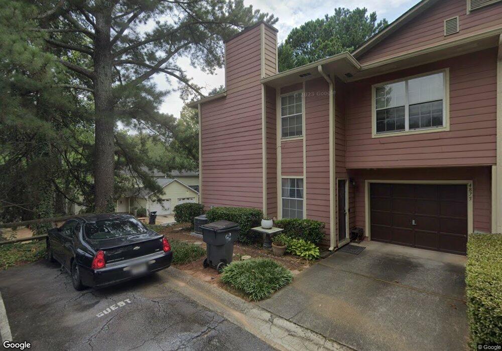
1068 Mansfield Ct Unit 7023 Norcross, GA 30093
Estimated Value: $213,000 - $224,000
3
Beds
2
Baths
1,512
Sq Ft
$144/Sq Ft
Est. Value
About This Home
This home is located at 1068 Mansfield Ct Unit 7023, Norcross, GA 30093 and is currently estimated at $217,669, approximately $143 per square foot. 1068 Mansfield Ct Unit 7023 is a home located in Gwinnett County with nearby schools including Ferguson Elementary School, Louise Radloff Middle School, and Meadowcreek High School.
Ownership History
Date
Name
Owned For
Owner Type
Purchase Details
Closed on
Jun 29, 2001
Sold by
Thickey Gary D
Bought by
Burack Lee H
Current Estimated Value
Home Financials for this Owner
Home Financials are based on the most recent Mortgage that was taken out on this home.
Original Mortgage
$80,800
Outstanding Balance
$30,461
Interest Rate
7.16%
Mortgage Type
New Conventional
Estimated Equity
$187,208
Purchase Details
Closed on
Jul 31, 1997
Sold by
Player Joan T
Bought by
Thickey Gary D
Home Financials for this Owner
Home Financials are based on the most recent Mortgage that was taken out on this home.
Original Mortgage
$67,500
Interest Rate
7.52%
Mortgage Type
FHA
Create a Home Valuation Report for This Property
The Home Valuation Report is an in-depth analysis detailing your home's value as well as a comparison with similar homes in the area
Home Values in the Area
Average Home Value in this Area
Purchase History
| Date | Buyer | Sale Price | Title Company |
|---|---|---|---|
| Burack Lee H | $101,000 | -- | |
| Thickey Gary D | $82,500 | -- |
Source: Public Records
Mortgage History
| Date | Status | Borrower | Loan Amount |
|---|---|---|---|
| Open | Burack Lee H | $80,800 | |
| Previous Owner | Thickey Gary D | $67,500 |
Source: Public Records
Tax History Compared to Growth
Tax History
| Year | Tax Paid | Tax Assessment Tax Assessment Total Assessment is a certain percentage of the fair market value that is determined by local assessors to be the total taxable value of land and additions on the property. | Land | Improvement |
|---|---|---|---|---|
| 2025 | -- | $102,480 | $14,000 | $88,480 |
| 2024 | $2,637 | $96,760 | $14,000 | $82,760 |
| 2023 | $2,637 | $85,720 | $12,000 | $73,720 |
| 2022 | $2,044 | $70,000 | $8,000 | $62,000 |
| 2021 | $1,770 | $55,720 | $8,000 | $47,720 |
| 2020 | $1,700 | $52,000 | $6,600 | $45,400 |
| 2019 | $1,527 | $45,760 | $6,600 | $39,160 |
| 2018 | $1,355 | $38,080 | $6,600 | $31,480 |
| 2016 | $935 | $24,720 | $4,800 | $19,920 |
| 2015 | $780 | $20,120 | $4,000 | $16,120 |
| 2014 | $782 | $20,120 | $4,000 | $16,120 |
Source: Public Records
Map
Nearby Homes
- 1097 Rock Creek Ln
- 1066 Rock Creek Ln
- 1037 Dover Way
- 1049 Knights Bridge Ct
- 4608 Warners Trail Unit 3
- 1020 Park Forest Dr NW
- 1411 Indian Way NW
- 1451 Indian Way NW
- 4652 Parklake Ct
- 5016 Comanche Ct NW
- 1060 Heatherwood Ct
- 5148 Whited Way NW Unit 1
- 1014 Brockdell Ct
- 1360 Dickens Rd NW
- 849 Cadet Ct NW
- 5181 Cold Springs Dr NW
- 783 Silvercreek Ct NW
- 1470 Hillcrest Rd
- 4446 Arcadia Dr
- 5277 Rosestone Dr NW
- 1092 Ashmore Trace
- 1018 Dover Way
- 816 Wuthering Way
- 816 Wuthering Way Unit 816
- 976 Wuthering Way
- 1108 Dover Way
- 1020 Linwood Trace
- 1036 Heathmoor Ct Unit 1036
- 997 Dover Way
- 1099 Brittwood Place
- 4874 Wessex Way Unit 4875
- 4874 Wessex Way
- 1086 Heathmoor Ct Unit N/A
- 1055 Rock Creek Ln
- 1055 Rock Creek Ln
- 1087 Mansfield Ct Unit 1087
- 1069 Knights Bridge Ct
- 1027 Mansfield Ct
- 1093 Burnside Way Unit 1093
- 1093 Burnside Way