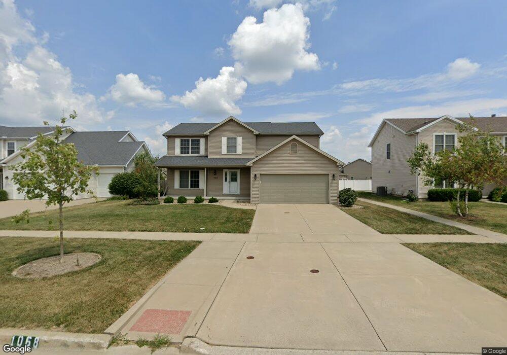
1068 N Pointe Dr Normal, IL 61761
Eagles Landing NeighborhoodEstimated Value: $374,716 - $387,000
4
Beds
3
Baths
3,391
Sq Ft
$113/Sq Ft
Est. Value
About This Home
This home is located at 1068 N Pointe Dr, Normal, IL 61761 and is currently estimated at $382,179, approximately $112 per square foot. 1068 N Pointe Dr is a home located in McLean County with nearby schools including Grove Elementary School, Chiddix Junior High School, and Normal Community High School.
Ownership History
Date
Name
Owned For
Owner Type
Purchase Details
Closed on
Jul 24, 2008
Sold by
Franke Don
Bought by
Neti Leela Sridhar and Bhagavathula Srivalli
Current Estimated Value
Home Financials for this Owner
Home Financials are based on the most recent Mortgage that was taken out on this home.
Original Mortgage
$191,600
Outstanding Balance
$119,146
Interest Rate
5.37%
Estimated Equity
$263,033
Purchase Details
Closed on
Sep 10, 2004
Sold by
Rab2 Corporation
Bought by
Franke Don
Create a Home Valuation Report for This Property
The Home Valuation Report is an in-depth analysis detailing your home's value as well as a comparison with similar homes in the area
Home Values in the Area
Average Home Value in this Area
Purchase History
| Date | Buyer | Sale Price | Title Company |
|---|---|---|---|
| Neti Leela Sridhar | $239,500 | Frontier Title Co | |
| Franke Don | -- | Frontier Title Co |
Source: Public Records
Mortgage History
| Date | Status | Borrower | Loan Amount |
|---|---|---|---|
| Open | Neti Leela Sridhar | $191,600 |
Source: Public Records
Tax History
| Year | Tax Paid | Tax Assessment Tax Assessment Total Assessment is a certain percentage of the fair market value that is determined by local assessors to be the total taxable value of land and additions on the property. | Land | Improvement |
|---|---|---|---|---|
| 2024 | $7,308 | $107,991 | $22,391 | $85,600 |
| 2022 | $7,308 | $87,359 | $18,113 | $69,246 |
| 2021 | $7,028 | $82,422 | $17,089 | $65,333 |
| 2020 | $6,983 | $81,565 | $16,911 | $64,654 |
| 2019 | $6,744 | $81,127 | $16,820 | $64,307 |
| 2018 | $6,664 | $80,268 | $16,642 | $63,626 |
| 2017 | $6,426 | $80,268 | $16,642 | $63,626 |
| 2016 | $6,356 | $80,268 | $16,642 | $63,626 |
| 2015 | $6,172 | $78,387 | $16,252 | $62,135 |
| 2014 | $6,096 | $78,387 | $16,252 | $62,135 |
| 2013 | -- | $78,387 | $16,252 | $62,135 |
Source: Public Records
Map
Nearby Homes
- Lot 8 Jehova
- 1300/1302 Henry Normal
- 3225 Marimarsh Ln
- 1170 Lynx Ln
- 2968 Wolf Creek Ln
- 3020 Wild Horse St
- Town ship 24 North SE (1 4) of Section 19
- Lot G Corner Fort Jesse & Towanda Barnes
- Lot H Towanda Barnes
- 3291 Red Jasper St
- 2884 Three Eagles St
- 2618 Limestone Ct
- 2625 Shale Rd
- 1236 Blue Bill Way
- 3551 Napa Ln
- 2608 Shale Rd
- 3613 Cabernet Ct
- 2602 Marble Rd
- 2501 Fieldstone Ct
- 3616 Cabernet Ct
- 1068 North Pointe Dr
- 1060 North Pointe Dr
- 1076 North Pointe Dr
- 1053 Osprey Ln
- 1045 Osprey Ln
- 1052 North Pointe Dr
- 1084 N Pointe Dr
- 1065 Osprey Ln
- 3100 Blue Heron Rd
- 1044 N Pointe Dr
- 1044 North Pointe Dr
- 1092 North Pointe Dr
- 3153 Blue Bird St
- 3101 Blue Heron Rd
- 1079 Osprey Ln
- 3140 Shepard Rd
- 3101 Grey Hawk Dr
- 3088 Blue Heron Rd
- 3148 Shepard Rd
- 3170 Blue Bird St
Your Personal Tour Guide
Ask me questions while you tour the home.