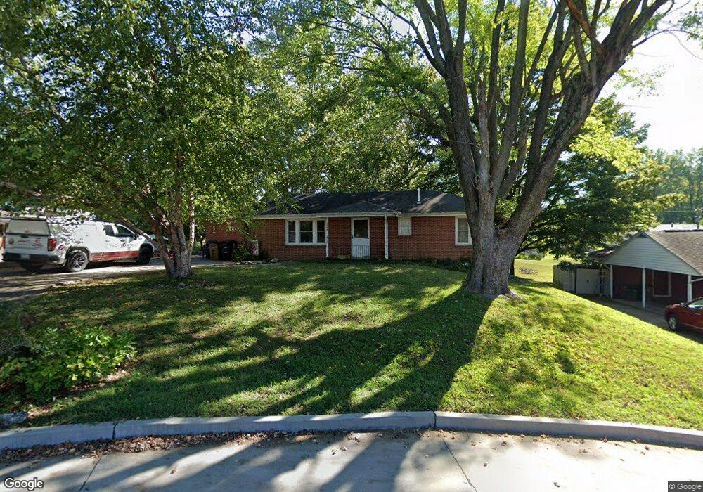
1068 Patricia St Cape Girardeau, MO 63701
Estimated Value: $198,000 - $224,000
3
Beds
2
Baths
1,608
Sq Ft
$131/Sq Ft
Est. Value
About This Home
This home is located at 1068 Patricia St, Cape Girardeau, MO 63701 and is currently estimated at $210,460, approximately $130 per square foot. 1068 Patricia St is a home with nearby schools including Clippard Elementary School, Central Middle School, and Central Junior High School.
Ownership History
Date
Name
Owned For
Owner Type
Purchase Details
Closed on
May 3, 2024
Sold by
Copeland Mona K and Maevers Patti Lynn
Bought by
Williams Seth and Williams Michelle L
Current Estimated Value
Home Financials for this Owner
Home Financials are based on the most recent Mortgage that was taken out on this home.
Original Mortgage
$75,000
Outstanding Balance
$73,334
Interest Rate
4.36%
Mortgage Type
Seller Take Back
Estimated Equity
$137,126
Create a Home Valuation Report for This Property
The Home Valuation Report is an in-depth analysis detailing your home's value as well as a comparison with similar homes in the area
Home Values in the Area
Average Home Value in this Area
Purchase History
| Date | Buyer | Sale Price | Title Company |
|---|---|---|---|
| Williams Seth | -- | None Listed On Document | |
| Copeland Mona K | -- | None Listed On Document |
Source: Public Records
Mortgage History
| Date | Status | Borrower | Loan Amount |
|---|---|---|---|
| Open | Williams Seth | $75,000 |
Source: Public Records
Tax History Compared to Growth
Tax History
| Year | Tax Paid | Tax Assessment Tax Assessment Total Assessment is a certain percentage of the fair market value that is determined by local assessors to be the total taxable value of land and additions on the property. | Land | Improvement |
|---|---|---|---|---|
| 2025 | $10 | $20,070 | $1,940 | $18,130 |
| 2024 | $10 | $19,110 | $1,850 | $17,260 |
| 2023 | $993 | $19,110 | $1,850 | $17,260 |
| 2022 | $916 | $17,610 | $1,700 | $15,910 |
| 2021 | $916 | $17,610 | $1,700 | $15,910 |
| 2020 | $918 | $17,610 | $1,700 | $15,910 |
| 2019 | $917 | $17,610 | $0 | $0 |
| 2018 | $915 | $17,610 | $0 | $0 |
| 2017 | $917 | $17,610 | $0 | $0 |
| 2016 | $914 | $17,610 | $0 | $0 |
| 2015 | $914 | $17,610 | $0 | $0 |
| 2014 | $919 | $17,610 | $0 | $0 |
Source: Public Records
Map
Nearby Homes
- 1070 Dorothy St
- 835 Lochinvar Ln
- 1107 Dorothy St
- 1246 Marilyn Dr
- 1000 N Mount Auburn Rd
- 3269 Hopper Rd
- 2629 Hopper Rd
- 769 Cedar Ln
- 3014 Keystone Dr
- 2550 Marvin St
- 3036 Keystone Dr
- 2615 Maria Louise Ln
- 3002 Melrose Ave
- 2449 Janet Dr
- 3022 Wisteria Dr
- 901 Pheasant Cove Dr
- 3027 Wisteria Dr
- 1705 Paul Revere Dr
- 3022 Beavercreek Dr
- 3046 Beavercreek Dr
- 1066 Patricia St
- 1070 Patricia St
- 1067 Patricia St
- 1102 Patricia St
- 1069 Dorothy St
- 1067 Dorothy St
- 1071 Dorothy St
- 1065 Patricia St
- 1062 Patricia St
- 1065 Dorothy St
- 1075 Dorothy St
- 1106 Patricia St
- 1063 Patricia St
- 1063 Dorothy St
- 1327 N Kingshighway St
- 1060 Patricia St
- 1101 Dorothy St
- 1061 Patricia St
- 1061 Dorothy St
- 1068 Dorothy St