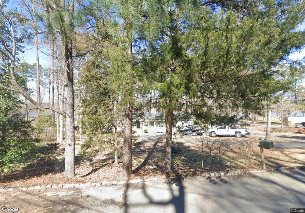
10680 Cherokee Rd Midlothian, VA 23113
Huguenot NeighborhoodEstimated Value: $873,000 - $1,175,000
3
Beds
3
Baths
2,889
Sq Ft
$338/Sq Ft
Est. Value
About This Home
This home is located at 10680 Cherokee Rd, Midlothian, VA 23113 and is currently estimated at $977,765, approximately $338 per square foot. 10680 Cherokee Rd is a home located in Richmond City with nearby schools including Robious Elementary School, Robious Middle School, and James River High School.
Ownership History
Date
Name
Owned For
Owner Type
Purchase Details
Closed on
Jul 17, 2023
Sold by
Land Carolyn Martin
Bought by
Land Carolyn Martin and Tilley Carol Gwendoyln
Current Estimated Value
Purchase Details
Closed on
Apr 2, 2002
Bought by
Land Carolyn and Land Joel T
Home Financials for this Owner
Home Financials are based on the most recent Mortgage that was taken out on this home.
Original Mortgage
$200,000
Interest Rate
6.88%
Mortgage Type
New Conventional
Purchase Details
Closed on
Feb 23, 2001
Bought by
Land Carolyn M and Land Joel T
Home Financials for this Owner
Home Financials are based on the most recent Mortgage that was taken out on this home.
Original Mortgage
$100,000
Interest Rate
6.89%
Mortgage Type
New Conventional
Create a Home Valuation Report for This Property
The Home Valuation Report is an in-depth analysis detailing your home's value as well as a comparison with similar homes in the area
Home Values in the Area
Average Home Value in this Area
Purchase History
| Date | Buyer | Sale Price | Title Company |
|---|---|---|---|
| Land Carolyn Martin | -- | None Listed On Document | |
| Land Carolyn | -- | -- | |
| Land Carolyn M | -- | -- |
Source: Public Records
Mortgage History
| Date | Status | Borrower | Loan Amount |
|---|---|---|---|
| Previous Owner | Land Carolyn M | $200,000 | |
| Previous Owner | Land Carolyn M | $100,000 |
Source: Public Records
Tax History Compared to Growth
Tax History
| Year | Tax Paid | Tax Assessment Tax Assessment Total Assessment is a certain percentage of the fair market value that is determined by local assessors to be the total taxable value of land and additions on the property. | Land | Improvement |
|---|---|---|---|---|
| 2025 | $25 | $837,600 | $454,800 | $382,800 |
| 2024 | $25 | $798,800 | $444,800 | $354,000 |
| 2023 | $6,755 | $742,300 | $424,800 | $317,500 |
| 2022 | $6,712 | $729,600 | $417,800 | $311,800 |
| 2021 | $6,691 | $697,400 | $412,700 | $284,700 |
| 2020 | $6,625 | $697,400 | $412,700 | $284,700 |
| 2019 | $6,625 | $697,400 | $412,700 | $284,700 |
| 2018 | $6,530 | $687,400 | $402,700 | $284,700 |
| 2017 | $6,317 | $658,000 | $394,700 | $263,300 |
| 2016 | $6,318 | $658,100 | $394,800 | $263,300 |
| 2015 | $6,219 | $645,200 | $394,800 | $250,400 |
| 2014 | $6,051 | $627,700 | $377,300 | $250,400 |
Source: Public Records
Map
Nearby Homes
- 10760 Cherokee Rd
- 3820 Reeds Landing Cir
- 3900 Cedar Grove Rd
- 11240 Turnley Ln
- 9001 Forest Ridge Ct
- 3320 Traylor Dr
- 3805 Solebury Place
- 9477 Creek Summit Cir
- 9479 Creek Summit Cir
- 9457 Creek Summit Cir
- 9455 Creek Summit Cir
- 9712 Cherokee Rd
- 5 Cedaridge Rd
- 2930 Poyntelle Rd
- 10326 W Huguenot Rd
- 9302 Erlwood Rd
- 3530 Old Gun Rd W
- 9301 Carriage Stone Ct
- 2910 Wighton Dr
- 3631 Cannon Ridge Ct
- 10690 Cherokee Rd
- 10670 Cherokee Rd
- 10700 Cherokee Rd
- 10660 Cherokee Rd
- 3961 Darby Dr
- 10685 Cherokee Rd
- 10710 Cherokee Rd
- 10650 Cherokee Rd
- 10675 Cherokee Rd
- 3951 Darby Dr
- 10701 Cherokee Rd
- 10720 Cherokee Rd
- 10640 Cherokee Rd
- 4240 Pittaway Dr
- 10715 Cherokee Rd
- 10655 Cherokee Rd
- 3941 Darby Dr
- 4230 Pittaway Dr
- 10730 Cherokee Rd
- 10731 Cherokee Rd