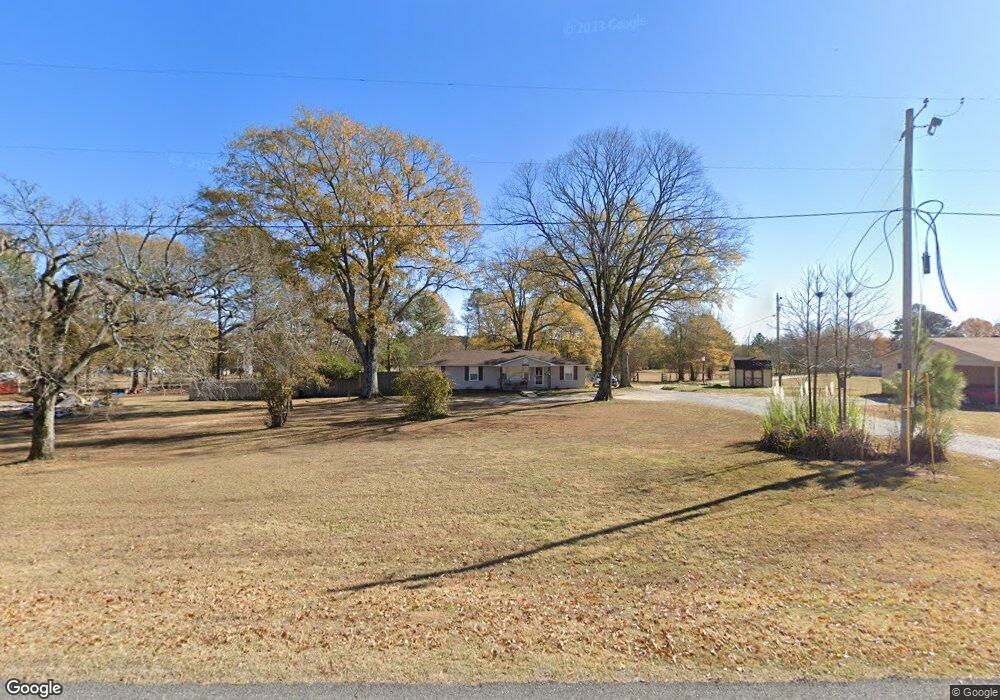
10681 Highway 67 Unit 10667 Benton, AR 72015
Estimated Value: $213,887 - $278,000
--
Bed
1
Bath
1,624
Sq Ft
$151/Sq Ft
Est. Value
About This Home
This home is located at 10681 Highway 67 Unit 10667, Benton, AR 72015 and is currently estimated at $245,222, approximately $150 per square foot. 10681 Highway 67 Unit 10667 is a home located in Saline County with nearby schools including Glen Rose Elementary School, Glen Rose Middle School, and Glen Rose High School.
Ownership History
Date
Name
Owned For
Owner Type
Purchase Details
Closed on
Nov 13, 2018
Sold by
Crabtree Burrell Doyne and Crabtree Stephanie M
Bought by
Richter Anthony E and Richter Calynn D
Current Estimated Value
Home Financials for this Owner
Home Financials are based on the most recent Mortgage that was taken out on this home.
Original Mortgage
$163,875
Outstanding Balance
$143,801
Interest Rate
4.7%
Mortgage Type
New Conventional
Estimated Equity
$101,421
Purchase Details
Closed on
Oct 31, 1995
Bought by
Crabtree
Purchase Details
Closed on
Aug 1, 1987
Bought by
Family
Create a Home Valuation Report for This Property
The Home Valuation Report is an in-depth analysis detailing your home's value as well as a comparison with similar homes in the area
Home Values in the Area
Average Home Value in this Area
Purchase History
| Date | Buyer | Sale Price | Title Company |
|---|---|---|---|
| Richter Anthony E | $172,500 | First National Title Company | |
| Crabtree | $68,000 | -- | |
| Family | -- | -- |
Source: Public Records
Mortgage History
| Date | Status | Borrower | Loan Amount |
|---|---|---|---|
| Open | Richter Anthony E | $163,875 |
Source: Public Records
Tax History Compared to Growth
Tax History
| Year | Tax Paid | Tax Assessment Tax Assessment Total Assessment is a certain percentage of the fair market value that is determined by local assessors to be the total taxable value of land and additions on the property. | Land | Improvement |
|---|---|---|---|---|
| 2025 | $1,235 | $33,905 | $7,380 | $26,525 |
| 2024 | $1,235 | $33,905 | $7,380 | $26,525 |
| 2023 | $941 | $33,905 | $7,380 | $26,525 |
| 2022 | $932 | $33,905 | $7,380 | $26,525 |
| 2021 | $873 | $22,090 | $5,250 | $16,840 |
| 2020 | $783 | $22,090 | $5,250 | $16,840 |
| 2019 | $783 | $22,090 | $5,250 | $16,840 |
| 2018 | $915 | $24,330 | $5,250 | $19,080 |
| 2017 | $891 | $24,330 | $5,250 | $19,080 |
| 2016 | $1,119 | $23,360 | $5,250 | $18,110 |
| 2015 | $869 | $23,360 | $5,250 | $18,110 |
| 2014 | $869 | $23,360 | $5,250 | $18,110 |
Source: Public Records
Map
Nearby Homes
- 7035 Point View Rd
- 6115 Point View Rd
- 6221 Bray Dr
- 0000 Deer Creek Rd
- 4051 Whitney Ln
- 5086 Oklahoma Inn Rd
- 1500 Dwight Brown Rd
- 000 Traskwood Rd
- 14124 Highway 67
- 185 Edgewater Cove
- 2019 Traskwood Rd
- 500 R Tram - Rear Right
- 500 R Tram - Left Rear
- 500 R Tram - Front Right
- 500 R Tram - Left Side - Front
- 2009 Berkshire Dr
- 00 House Rd
- 3914 Beacon Cove
- 4109 Hampton Dr
- 00000 Crossroads
- 10681 U S 67
- 10711 Highway 67
- 12040 U S 67
- 10741 Highway 67
- 10664 Highway 67
- 10726 Highway 67
- 10773 Highway 67
- 10611 Highway 67
- 10611 Highway 67
- S Hwy 67
- S Highway 67
- 10611 U S 67
- 10572 Highway 67
- 10821 Highway 67
- 8120 Melody Ln
- 11001 Burchfield Dr
- 10820 U S 67
- 10820 Highway 67
- 10820 Hwy 67 N
- 4231 Holy Ridge Rd