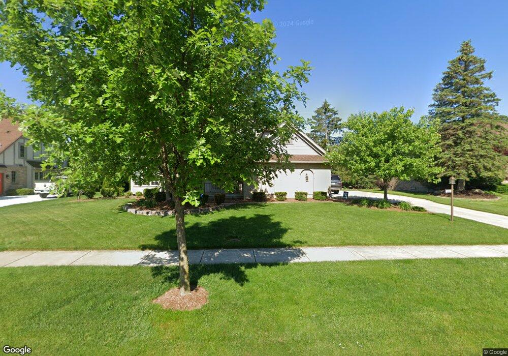
10681 Red Maple Dr Plymouth, MI 48170
Estimated Value: $530,000 - $607,000
4
Beds
4
Baths
2,105
Sq Ft
$275/Sq Ft
Est. Value
About This Home
This home is located at 10681 Red Maple Dr, Plymouth, MI 48170 and is currently estimated at $578,730, approximately $274 per square foot. 10681 Red Maple Dr is a home located in Wayne County with nearby schools including Canton High School, Isbister Elementary School, and Salem High School.
Ownership History
Date
Name
Owned For
Owner Type
Purchase Details
Closed on
Jul 16, 2013
Sold by
Sniegowski Michael C
Bought by
Sniegowski Michael C and Michael C Sniegowski Living Tr
Current Estimated Value
Home Financials for this Owner
Home Financials are based on the most recent Mortgage that was taken out on this home.
Original Mortgage
$205,300
Interest Rate
3.91%
Mortgage Type
New Conventional
Purchase Details
Closed on
Feb 27, 2013
Sold by
Sniegowski Michael C
Bought by
Sniegowski Michael C and Michael C Sniegowski Living Tr
Purchase Details
Closed on
Mar 4, 2005
Sold by
Young Teresa and Sniegowski Teresa
Bought by
Sniegowski Michael C
Purchase Details
Closed on
May 13, 1996
Sold by
Jon W Massie
Bought by
Potter Jim and Potter Mary L
Create a Home Valuation Report for This Property
The Home Valuation Report is an in-depth analysis detailing your home's value as well as a comparison with similar homes in the area
Home Values in the Area
Average Home Value in this Area
Purchase History
| Date | Buyer | Sale Price | Title Company |
|---|---|---|---|
| Sniegowski Michael C | -- | Title Source Inc | |
| Sniegowski Michael C | -- | Title Source Inc | |
| Sniegowski Michael C | -- | None Available | |
| Sniegowski Michael C | -- | -- | |
| Potter Jim | $245,000 | -- |
Source: Public Records
Mortgage History
| Date | Status | Borrower | Loan Amount |
|---|---|---|---|
| Closed | Sniegowski Michael C | $205,300 |
Source: Public Records
Tax History Compared to Growth
Tax History
| Year | Tax Paid | Tax Assessment Tax Assessment Total Assessment is a certain percentage of the fair market value that is determined by local assessors to be the total taxable value of land and additions on the property. | Land | Improvement |
|---|---|---|---|---|
| 2025 | $4,209 | $260,900 | $0 | $0 |
| 2024 | $4,209 | $244,300 | $0 | $0 |
| 2023 | $4,010 | $210,300 | $0 | $0 |
| 2022 | $5,335 | $199,600 | $0 | $0 |
| 2021 | $5,185 | $197,200 | $0 | $0 |
| 2019 | $5,025 | $178,910 | $0 | $0 |
| 2018 | $3,432 | $183,440 | $0 | $0 |
| 2017 | $2,399 | $35,500 | $0 | $0 |
| 2016 | $4,494 | $176,400 | $0 | $0 |
| 2015 | $14,368 | $184,260 | $0 | $0 |
| 2013 | $14,935 | $149,350 | $0 | $0 |
| 2012 | -- | $136,440 | $35,490 | $100,950 |
Source: Public Records
Map
Nearby Homes
- 49238 Plum Tree Dr
- 9377 Pineview Dr
- 9875 Ann Arbor Trail
- 0 E Ann Arbor Trail Unit 20251048195
- 9079 Woodgrove Dr
- 48100 Powell Rd
- 50157 E Fellows Creek Ct
- 9350 Colony Farms Ct
- 11809 Amherst Ct
- 11641 Chandler Dr
- 9421 Mapletree Dr
- 48441 N Territorial Rd
- 11431 Sandalwood Dr
- 47442 Verona Ct
- 47443 Verona Ct
- 50501 Elmwood Ct Unit 11
- 48814 Gyde Rd
- 50520 Elmwood Ct
- B1 Tall Timber Unit B1
- 50536 Cottonwood Ct
- 10579 Red Maple Dr
- 10783 Red Maple Dr
- 10680 Red Maple Dr
- 10477 Red Maple Dr
- 10578 Red Maple Dr
- 10885 Red Maple Dr
- 10782 Red Maple Dr
- 10884 Red Maple Dr
- 10476 Red Maple Dr
- 10375 Red Maple Dr
- 10986 Red Maple Dr
- 10374 Red Maple Dr
- 11089 Red Maple Dr
- 10677 Harvest Ct
- 49336 Pine Ridge Dr
- 10273 Red Maple Dr
- 11251 N Ridge Rd
- 11088 Red Maple Dr
- 10779 Harvest Ct
- 10272 Red Maple Dr