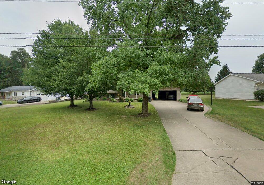
10684 Nellabrook Ave NE Alliance, OH 44601
Estimated Value: $233,000 - $280,000
3
Beds
2
Baths
1,716
Sq Ft
$146/Sq Ft
Est. Value
About This Home
This home is located at 10684 Nellabrook Ave NE, Alliance, OH 44601 and is currently estimated at $250,953, approximately $146 per square foot. 10684 Nellabrook Ave NE is a home located in Stark County with nearby schools including Marlington High School and Regina Coeli/St Joseph School.
Ownership History
Date
Name
Owned For
Owner Type
Purchase Details
Closed on
Nov 7, 2005
Sold by
Simmons Jeffrey V and Simmons Amy L
Bought by
Simmons Jeffrey and Simmons Amy L
Current Estimated Value
Purchase Details
Closed on
Sep 9, 1996
Sold by
Horning John H
Bought by
Simmons Jeffrey V and Simmons Amy
Home Financials for this Owner
Home Financials are based on the most recent Mortgage that was taken out on this home.
Original Mortgage
$84,950
Outstanding Balance
$7,340
Interest Rate
8.27%
Mortgage Type
New Conventional
Estimated Equity
$243,613
Create a Home Valuation Report for This Property
The Home Valuation Report is an in-depth analysis detailing your home's value as well as a comparison with similar homes in the area
Home Values in the Area
Average Home Value in this Area
Purchase History
| Date | Buyer | Sale Price | Title Company |
|---|---|---|---|
| Simmons Jeffrey | -- | -- | |
| Simmons Jeffrey V | $17,000 | -- |
Source: Public Records
Mortgage History
| Date | Status | Borrower | Loan Amount |
|---|---|---|---|
| Open | Simmons Jeffrey V | $84,950 |
Source: Public Records
Tax History Compared to Growth
Tax History
| Year | Tax Paid | Tax Assessment Tax Assessment Total Assessment is a certain percentage of the fair market value that is determined by local assessors to be the total taxable value of land and additions on the property. | Land | Improvement |
|---|---|---|---|---|
| 2025 | -- | $73,570 | $21,910 | $51,660 |
| 2024 | -- | $73,570 | $21,910 | $51,660 |
| 2023 | $1,727 | $61,150 | $11,620 | $49,530 |
| 2022 | $1,734 | $61,150 | $11,620 | $49,530 |
| 2021 | $1,741 | $61,150 | $11,620 | $49,530 |
| 2020 | $1,770 | $55,200 | $10,010 | $45,190 |
| 2019 | $1,754 | $55,200 | $10,010 | $45,190 |
| 2018 | $1,757 | $55,200 | $10,010 | $45,190 |
| 2017 | $1,673 | $49,670 | $9,520 | $40,150 |
| 2016 | $1,673 | $49,670 | $9,520 | $40,150 |
| 2015 | $1,573 | $49,670 | $9,520 | $40,150 |
| 2014 | $1,400 | $41,450 | $7,950 | $33,500 |
| 2013 | $695 | $41,450 | $7,950 | $33,500 |
Source: Public Records
Map
Nearby Homes
- 13334 Cindy St NE
- 0 Meadow St NE
- 13061 Beeson St NE
- 0 W Main St Unit 5090123
- 11480 Aebi Ave NE
- 000 Klinger Ave
- 10666 Wilma Ave NE
- 432 Johnson Ave
- 0 Klinger Ave NE
- 1430 Westwood Ave
- 0 Johnson Ave NE Unit 5142926
- 0 Meadowbrook Ave
- 0 Homestead Ave NE
- 14422 Sturbridge Rd NE
- 565 W Broadway St
- 2081 Marwood Cir
- 511 W Ely St
- 11940 Freshley Ave NE
- 1201 Overlook Dr
- 1038 Fairview Place
- 10696 Nellabrook Ave NE
- 10656 Nellabrook Ave NE
- 10714 Nellabrook Ave NE
- 10628 Nellabrook Ave NE
- 10635 Nellabrook Ave NE
- 10655 Nellabrook Ave NE
- 10732 Nellabrook Ave NE
- 10691 Nellabrook Ave NE
- 10691 Nellabrook Ave NE
- 10717 Nellabrook Ave NE
- 13552 Cindy St NE
- 10578 Nellabrook Ave NE
- 10505 Nellabrook Ave NE
- 10727 Nellabrook Ave NE
- 13555 Cindy St NE
- 10585 Nellabrook Ave NE
- 13515 Cindy St NE
- 10742 Heltman Ave NE
- 10781 Nellabrook Ave NE
- 10692 Heltman Ave NE