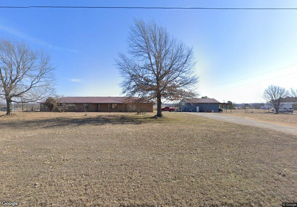
106849 S 4180 Rd Checotah, OK 74426
Estimated Value: $241,000 - $325,000
3
Beds
2
Baths
2,384
Sq Ft
$119/Sq Ft
Est. Value
About This Home
This home is located at 106849 S 4180 Rd, Checotah, OK 74426 and is currently estimated at $283,228, approximately $118 per square foot. 106849 S 4180 Rd is a home with nearby schools including Marshall Elementary School, Checotah Intermediate Elementary School, and Checotah Middle School.
Ownership History
Date
Name
Owned For
Owner Type
Purchase Details
Closed on
May 10, 2011
Sold by
Webster Patricia K
Bought by
Webster Patricia K and Webster Raymond D
Current Estimated Value
Home Financials for this Owner
Home Financials are based on the most recent Mortgage that was taken out on this home.
Original Mortgage
$83,000
Outstanding Balance
$57,662
Interest Rate
4.95%
Mortgage Type
New Conventional
Estimated Equity
$225,566
Create a Home Valuation Report for This Property
The Home Valuation Report is an in-depth analysis detailing your home's value as well as a comparison with similar homes in the area
Purchase History
| Date | Buyer | Sale Price | Title Company |
|---|---|---|---|
| Webster Patricia K | -- | None Available |
Source: Public Records
Mortgage History
| Date | Status | Borrower | Loan Amount |
|---|---|---|---|
| Open | Webster Patricia K | $83,000 |
Source: Public Records
Tax History
| Year | Tax Paid | Tax Assessment Tax Assessment Total Assessment is a certain percentage of the fair market value that is determined by local assessors to be the total taxable value of land and additions on the property. | Land | Improvement |
|---|---|---|---|---|
| 2025 | $1,085 | $13,282 | $663 | $12,619 |
| 2024 | $1,025 | $13,282 | $667 | $12,615 |
| 2023 | $1,025 | $12,520 | $621 | $11,899 |
| 2022 | $960 | $12,155 | $597 | $11,558 |
| 2021 | $1,025 | $12,155 | $597 | $11,558 |
| 2020 | $1,006 | $11,801 | $579 | $11,222 |
| 2019 | $967 | $11,458 | $562 | $10,896 |
| 2018 | $930 | $11,124 | $555 | $10,569 |
| 2017 | $893 | $10,485 | $537 | $9,948 |
| 2016 | $885 | $10,181 | $502 | $9,679 |
| 2015 | $857 | $9,884 | $565 | $9,319 |
| 2014 | $827 | $9,596 | $528 | $9,068 |
Source: Public Records
Map
Nearby Homes
- 416036 La Vista Dr
- 00 Arrowhead Rd
- 5 S 4190 Rd
- 416784 Delaware Dr
- 416747 Delaware Dr
- 107716 S 4165 Rd
- 106453 S 4163 Rd
- 0 Flounder Rd Unit 2604043
- 106521 Belle Dr
- 108285 Catfish Ln
- 1129 Elizabeth Dr
- 1045 W Mcintosh Ave
- 0 E 1090 Unit 2537112
- 1107 W Gentry
- 514 W Creek
- 115086 S 4278
- 0 Commodore Dr
- 0 W Gentry Ave
- 416808 Flagship
- 911 W Mcintosh Ave
- 640 Rr 4
- 106683 S 4180 Rd
- 106967 S 4180 Rd
- 418175 E 1070 Rd
- 418175 E 1070 Rd
- 418220 E 1070 Rd
- 418220 E 1070 Rd
- 418427 E 1070 Rd
- 418427 E 1070 Rd
- 106372 S 4180 Rd
- 416049 La Vista Dr
- 416098 La Vista Dr
- 416054 La Vista Dr
- 416018 La Vista Dr
- 111011 Old Highway 69
- 111213 Old Highway 69
- 416049 La Vista Dr
- 108817 Lagoon Dr
- 416049 La Vista Dr
- 418694 E 1070 Rd
Your Personal Tour Guide
Ask me questions while you tour the home.