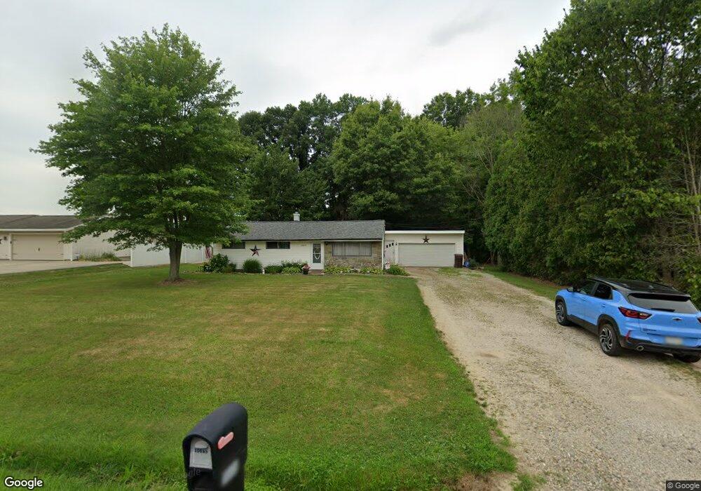
10685 Dot Ave NE Alliance, OH 44601
Estimated Value: $165,826 - $230,000
3
Beds
1
Bath
1,412
Sq Ft
$141/Sq Ft
Est. Value
About This Home
This home is located at 10685 Dot Ave NE, Alliance, OH 44601 and is currently estimated at $198,457, approximately $140 per square foot. 10685 Dot Ave NE is a home located in Stark County with nearby schools including Marlington High School and Regina Coeli/St Joseph School.
Ownership History
Date
Name
Owned For
Owner Type
Purchase Details
Closed on
Aug 25, 2006
Sold by
Lofgren Ruby L and Lofgren Thomas
Bought by
Richards Jason M and Richards Michelle L
Current Estimated Value
Home Financials for this Owner
Home Financials are based on the most recent Mortgage that was taken out on this home.
Original Mortgage
$99,700
Outstanding Balance
$59,923
Interest Rate
6.78%
Mortgage Type
Purchase Money Mortgage
Estimated Equity
$138,534
Purchase Details
Closed on
Dec 28, 1990
Create a Home Valuation Report for This Property
The Home Valuation Report is an in-depth analysis detailing your home's value as well as a comparison with similar homes in the area
Home Values in the Area
Average Home Value in this Area
Purchase History
| Date | Buyer | Sale Price | Title Company |
|---|---|---|---|
| Richards Jason M | $104,000 | None Available | |
| -- | $26,500 | -- |
Source: Public Records
Mortgage History
| Date | Status | Borrower | Loan Amount |
|---|---|---|---|
| Open | Richards Jason M | $99,700 |
Source: Public Records
Tax History Compared to Growth
Tax History
| Year | Tax Paid | Tax Assessment Tax Assessment Total Assessment is a certain percentage of the fair market value that is determined by local assessors to be the total taxable value of land and additions on the property. | Land | Improvement |
|---|---|---|---|---|
| 2025 | -- | $45,050 | $21,880 | $23,170 |
| 2024 | -- | $45,050 | $21,880 | $23,170 |
| 2023 | $1,297 | $35,980 | $11,620 | $24,360 |
| 2022 | $651 | $35,980 | $11,620 | $24,360 |
| 2021 | $1,306 | $35,980 | $11,620 | $24,360 |
| 2020 | $1,257 | $30,870 | $10,010 | $20,860 |
| 2019 | $1,249 | $30,870 | $10,010 | $20,860 |
| 2018 | $1,251 | $30,870 | $10,010 | $20,860 |
| 2017 | $1,214 | $28,040 | $9,520 | $18,520 |
| 2016 | $1,409 | $32,520 | $9,520 | $23,000 |
| 2015 | $1,309 | $32,520 | $9,520 | $23,000 |
| 2014 | $1,196 | $27,130 | $7,950 | $19,180 |
| 2013 | $595 | $27,130 | $7,950 | $19,180 |
Source: Public Records
Map
Nearby Homes
- 10666 Wilma Ave NE
- 13334 Cindy St NE
- 0 Meadow St NE
- 12355 Edison St NE
- 11960 Freshley Ave NE
- 11480 Aebi Ave NE
- 0 W Main St Unit 5090123
- 13109 Edison St NE
- 1430 Westwood Ave
- 2081 Marwood Cir
- 12252 Snode St NE
- 0 Reeder Ave NE
- 2377 Ansley St Unit 2377
- 12415 Snode St NE
- 000 Klinger Ave
- 432 Johnson Ave
- 14422 Sturbridge Rd NE
- 1201 Overlook Dr
- 2851 Patriots Path Unit 3D
- 000 Meadowbrook Ave
- 10705 Dot Ave NE
- 10665 Dot Ave NE
- 10725 Dot Ave NE
- 10645 Dot Ave NE
- 10684 Dot Ave NE
- 10702 Dot Ave NE
- 10666 Dot Ave NE
- 10745 Dot Ave NE
- 10625 Dot Ave NE
- 10722 Dot Ave NE
- 10644 Dot Ave NE
- 10744 Dot Ave NE
- 10626 Dot Ave NE
- 10605 Dot Ave NE
- 10685 Barcus Ave NE
- 10705 Barcus Ave NE
- 10665 Barcus Ave NE
- 10771 Dot Ave NE
- 10725 Barcus Ave NE
- 10606 Dot Ave NE