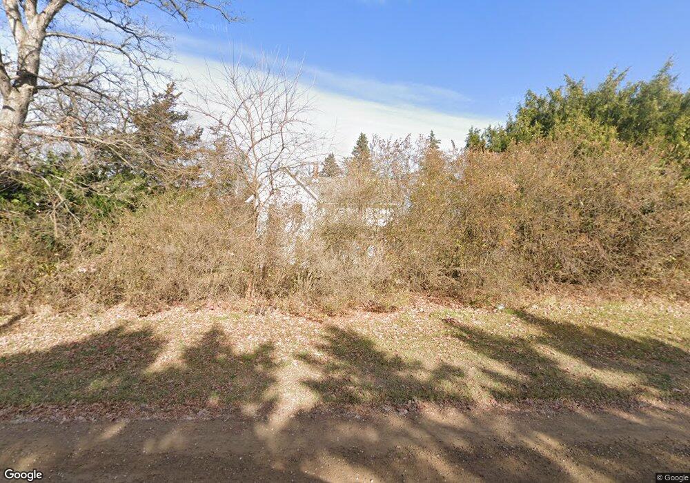
10685 Mccabe Rd Brighton, MI 48116
Estimated Value: $418,000 - $510,419
4
Beds
1
Bath
1,756
Sq Ft
$267/Sq Ft
Est. Value
About This Home
This home is located at 10685 Mccabe Rd, Brighton, MI 48116 and is currently estimated at $469,105, approximately $267 per square foot. 10685 Mccabe Rd is a home located in Livingston County with nearby schools including Hawkins Elementary School, Scranton Middle School, and Brighton High School.
Ownership History
Date
Name
Owned For
Owner Type
Purchase Details
Closed on
May 7, 2025
Sold by
Fackert James H and Fackert Rhonda L
Bought by
10685 Mccabe Road Llc
Current Estimated Value
Purchase Details
Closed on
Feb 1, 2024
Sold by
Fackert James H and Fackert Rhonda L
Bought by
Fackert James H and Fackert Rhonda L
Purchase Details
Closed on
Jan 29, 2024
Sold by
Fackert James H and Fackert Rhonda L
Bought by
Fackert Rhonda L and Cash Aaron T
Purchase Details
Closed on
Jul 13, 2010
Sold by
Herman A Preuss Revocable Living Trust
Bought by
Fackert James H and Fackert Rhonda L
Create a Home Valuation Report for This Property
The Home Valuation Report is an in-depth analysis detailing your home's value as well as a comparison with similar homes in the area
Home Values in the Area
Average Home Value in this Area
Purchase History
| Date | Buyer | Sale Price | Title Company |
|---|---|---|---|
| 10685 Mccabe Road Llc | -- | None Listed On Document | |
| Fackert James H | -- | None Listed On Document | |
| Fackert Rhonda L | -- | None Listed On Document | |
| Fackert James H | $200,000 | -- |
Source: Public Records
Tax History Compared to Growth
Tax History
| Year | Tax Paid | Tax Assessment Tax Assessment Total Assessment is a certain percentage of the fair market value that is determined by local assessors to be the total taxable value of land and additions on the property. | Land | Improvement |
|---|---|---|---|---|
| 2025 | $6,343 | $199,000 | $0 | $0 |
| 2024 | $4,129 | $194,400 | $0 | $0 |
| 2023 | $3,938 | $187,000 | $0 | $0 |
| 2022 | $5,429 | $165,100 | $0 | $0 |
| 2021 | $5,429 | $167,800 | $0 | $0 |
| 2020 | $5,372 | $164,000 | $0 | $0 |
| 2019 | $5,276 | $165,100 | $0 | $0 |
| 2018 | $5,172 | $147,900 | $0 | $0 |
| 2017 | $5,077 | $144,600 | $0 | $0 |
| 2016 | $5,044 | $133,300 | $0 | $0 |
| 2014 | $2,403 | $112,000 | $0 | $0 |
| 2012 | $2,403 | $110,400 | $0 | $0 |
Source: Public Records
Map
Nearby Homes
- 00 Pier Point Ct
- 10611 Lighthouse Point
- 10817 Cliffview Dr
- 0000 Stoney Point Unit 5
- 10993 Stoney Point Dr
- 8800 Evergreen Rd
- 8499 Bishop Rd
- 11108 Silver Lake Rd
- 11055 Silver View Ct
- 11047 Silver View Ct
- 11035 Silver View Ct
- 9044 Kemper Dr
- 9339 Summercress Dr
- 000 Silver Lake Rd
- 9736 Cross Creek Dr
- 12088 Pinebrook Ln
- 8900 Rickett Rd
- 6550 Avon Dr
- 11390 Ridge Rd
- 9550 Silverside
- 10500 Stoney Point Dr
- 10508 Stoney Point Dr
- 10494 Stoney Point Dr
- 10514 Stoney Point Dr
- 10777 Mccabe Rd
- 10480 Stoney Point Dr
- 10641 Mccabe Rd
- 10505 Stoney Point Dr
- 10534 Stoney Point Dr
- 10491 Stoney Point Dr Unit 233
- 10617 Mccabe Rd
- 8363 Boulder Shores Dr
- 10474 Stoney Point Dr
- 10485 Stoney Point Dr
- 10517 Stoney Point Dr
- 10540 Stoney Point Dr
- 8369 Boulder Shores Dr
- 10479 Stoney Point Dr
- 10523 Stoney Point Dr
- 10468 Stoney Point Dr
