10686 Hank Sargent Rd Prairie Grove, AR 72753
Estimated Value: $224,000 - $266,000
--
Bed
1
Bath
1,120
Sq Ft
$217/Sq Ft
Est. Value
About This Home
This home is located at 10686 Hank Sargent Rd, Prairie Grove, AR 72753 and is currently estimated at $243,426, approximately $217 per square foot. 10686 Hank Sargent Rd is a home located in Washington County with nearby schools including Prairie Grove Elementary School, Prairie Grove Middle School, and Prairie Grove Junior High School.
Ownership History
Date
Name
Owned For
Owner Type
Purchase Details
Closed on
Jan 28, 2022
Sold by
Commissioner Of State Lands
Bought by
Fields Billy Russell
Current Estimated Value
Purchase Details
Closed on
Jul 29, 2003
Sold by
Johnson Jeffrey C and Johnson Tacie L
Bought by
Beeks Terrell H
Home Financials for this Owner
Home Financials are based on the most recent Mortgage that was taken out on this home.
Original Mortgage
$80,000
Interest Rate
5.19%
Mortgage Type
VA
Purchase Details
Closed on
Feb 18, 1998
Bought by
Johnson Jeffrey C and Johnson Tacie L
Create a Home Valuation Report for This Property
The Home Valuation Report is an in-depth analysis detailing your home's value as well as a comparison with similar homes in the area
Home Values in the Area
Average Home Value in this Area
Purchase History
| Date | Buyer | Sale Price | Title Company |
|---|---|---|---|
| Fields Billy Russell | $3,138 | None Listed On Document | |
| Beeks Terrell H | $80,000 | Northwest Arkansas Title Co | |
| Johnson Jeffrey C | $50,000 | -- |
Source: Public Records
Mortgage History
| Date | Status | Borrower | Loan Amount |
|---|---|---|---|
| Previous Owner | Beeks Terrell H | $80,000 |
Source: Public Records
Tax History Compared to Growth
Tax History
| Year | Tax Paid | Tax Assessment Tax Assessment Total Assessment is a certain percentage of the fair market value that is determined by local assessors to be the total taxable value of land and additions on the property. | Land | Improvement |
|---|---|---|---|---|
| 2025 | $1,352 | $37,230 | $8,100 | $29,130 |
| 2024 | $1,267 | $37,230 | $8,100 | $29,130 |
| 2023 | $1,202 | $37,230 | $8,100 | $29,130 |
| 2022 | $1,101 | $23,650 | $4,320 | $19,330 |
| 2021 | $1,020 | $23,650 | $4,320 | $19,330 |
| 2020 | $939 | $23,650 | $4,320 | $19,330 |
| 2019 | $865 | $16,500 | $1,600 | $14,900 |
| 2018 | $865 | $16,500 | $1,600 | $14,900 |
| 2017 | $807 | $16,500 | $1,600 | $14,900 |
| 2016 | $857 | $16,500 | $1,600 | $14,900 |
| 2015 | $791 | $16,500 | $1,600 | $14,900 |
| 2014 | $724 | $13,780 | $2,400 | $11,380 |
Source: Public Records
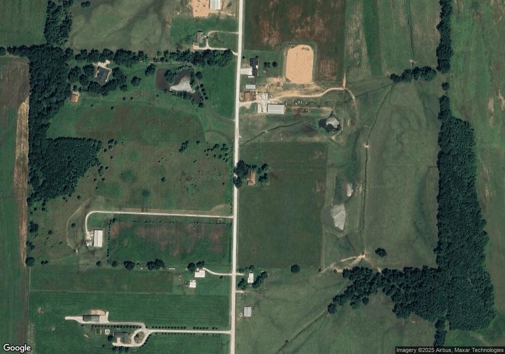
Map
Nearby Homes
- 0 Gibb Whitmore Rd
- 11327 Gibb Whitmire Rd
- 1601 Affirmed Ln
- 10591 Viney Grove Rd
- 10714 Viney Grove Rd
- 1745 Viney Grove Rd
- 1498 Viney Grove Rd
- 261 Hearthstone Cir
- 812 Cedar Ln
- 807 Maple St
- 1042 Vista Ave
- 14806 West Rd
- 581 Crystal Dr
- DENTON Plan at Hudson Heights
- GARLAND Plan at Hudson Heights
- EUREKA Plan at Hudson Heights
- DEAN Plan at Hudson Heights
- KINGSTON Plan at Hudson Heights
- 1021 Vista Ave
- 971 Pebble Dr
- 5.17 Ac Co Rd 621
- 0 Hank Sargent Rd
- 10596 Hank Sargent Rd
- 10591 Hank Sargent Rd
- 10840 Hank Sargent Rd
- 10875 Hank Sargent Rd
- 11001 Hank Sargent Rd
- 10521 Hank Sargent Rd
- 10380 Hank Sargent Rd
- 10429 Hank Sargent Rd
- 10997 Hank Sargent Rd
- 5.17 Ac Hank Sargent Rd
- 15981 Ditmars Rd
- 15821 W Battlefield Park Rd
- 15466 Blackburn Rd
- 15482 Blackburn Rd
- 15762 Ditmars Rd
- 15464 Blackburn Rd
- 16465 Ditmars Rd
- 150 AC Ditmars