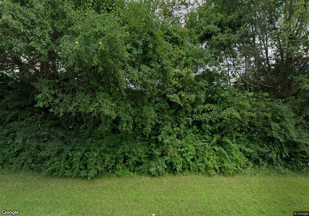
10688 S State Route 133 Blanchester, OH 45107
Estimated Value: $374,000 - $654,000
3
Beds
3
Baths
2,560
Sq Ft
$209/Sq Ft
Est. Value
About This Home
This home is located at 10688 S State Route 133, Blanchester, OH 45107 and is currently estimated at $534,090, approximately $208 per square foot. 10688 S State Route 133 is a home located in Warren County with nearby schools including Cross Roads Elementary School, Putman Elementary School, and Blanchester Middle School.
Ownership History
Date
Name
Owned For
Owner Type
Purchase Details
Closed on
Jul 5, 2006
Sold by
Brown Troy D and Brown Veronica R
Bought by
Cottle Chad M and Cottle Julie A
Current Estimated Value
Home Financials for this Owner
Home Financials are based on the most recent Mortgage that was taken out on this home.
Original Mortgage
$66,500
Outstanding Balance
$29,473
Interest Rate
8.5%
Mortgage Type
Unknown
Estimated Equity
$504,617
Purchase Details
Closed on
Jul 13, 2005
Sold by
Tingle Judith E and Lucas Robert Dean
Bought by
Brown Troy D and Brown Veronica R
Purchase Details
Closed on
Mar 25, 2004
Sold by
Lucas Robert Dean
Bought by
Tingle Judith E and Thelma F Lucas Trust
Create a Home Valuation Report for This Property
The Home Valuation Report is an in-depth analysis detailing your home's value as well as a comparison with similar homes in the area
Home Values in the Area
Average Home Value in this Area
Purchase History
| Date | Buyer | Sale Price | Title Company |
|---|---|---|---|
| Cottle Chad M | $70,000 | New Millennium Title | |
| Foreman Ashley L | $70,000 | New Millennium Title | |
| Brown Troy D | $94,000 | -- | |
| Tingle Judith E | -- | -- | |
| Tingle Judith E | -- | -- |
Source: Public Records
Mortgage History
| Date | Status | Borrower | Loan Amount |
|---|---|---|---|
| Open | Foreman Ashley L | $66,500 | |
| Open | Cottle Chad M | $163,800 |
Source: Public Records
Tax History Compared to Growth
Tax History
| Year | Tax Paid | Tax Assessment Tax Assessment Total Assessment is a certain percentage of the fair market value that is determined by local assessors to be the total taxable value of land and additions on the property. | Land | Improvement |
|---|---|---|---|---|
| 2024 | $4,200 | $143,630 | $45,330 | $98,300 |
| 2023 | $3,506 | $115,059 | $27,982 | $87,076 |
| 2022 | $3,461 | $115,059 | $27,983 | $87,077 |
| 2021 | $3,307 | $115,059 | $27,983 | $87,077 |
| 2020 | $3,148 | $93,545 | $22,750 | $70,795 |
| 2019 | $3,261 | $93,545 | $22,750 | $70,795 |
| 2018 | $3,281 | $93,545 | $22,750 | $70,795 |
| 2017 | $2,985 | $83,388 | $21,917 | $61,471 |
| 2016 | $3,090 | $83,388 | $21,917 | $61,471 |
| 2015 | $3,090 | $83,388 | $21,917 | $61,471 |
| 2014 | $2,980 | $78,850 | $21,400 | $57,450 |
| 2013 | $3,075 | $90,700 | $22,750 | $67,950 |
Source: Public Records
Map
Nearby Homes
- 2011 Fayetteville Rd
- 10834 State Route 28
- 507 Bourbon St
- 753 W Main St
- 315 Rayford St
- 21602 Woodville Rd
- 305 W Main St
- 128 W Burroughs St
- 7484 Fairground Rd
- 502 Railroad St
- 7478 Fairground Rd
- 0 Ohio 123 Unit 11 938995
- 0 Ohio 123 Unit 1848086
- 107 Central Ave
- 301 W Main St
- 503 S Broadway St
- 213 N Broadway St
- B Cherry St
- 5458 Oak Grove Ave
- 409 N Broadway St
- 10690 Old Route 133
- 10689 S State Route 133
- 10881 Old State Route 133
- 57 Old State Route 133
- 168 Old State Route 133
- 10649 St Rt 133
- 6201 St Rt 133
- 194 Old Oh-133
- 194 Old St Rt 133
- 10743 S State Route 133
- 194 Old State Route 133
- 2667 Ohio 133
- 2667 S State Route 133
- 156 Old State Route 133
- 2650 St Rt 133
- 2650 S State Route 133
- 0 Old St Rt 133 Unit 1224226
- 0 Old St Rt 133 Unit 1195605
- 0 Old St Rt 133 Unit 1141475
- 0 Old St Rt 133 Unit 1114670
