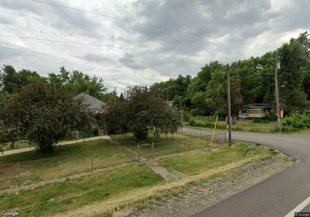
10689 Apple St Tremont, IL 61568
Estimated Value: $113,000 - $123,799
3
Beds
1
Bath
874
Sq Ft
$134/Sq Ft
Est. Value
About This Home
This home is located at 10689 Apple St, Tremont, IL 61568 and is currently estimated at $117,200, approximately $134 per square foot. 10689 Apple St is a home located in Tazewell County with nearby schools including Tremont Elementary School, Tremont Middle School, and Tremont High School.
Ownership History
Date
Name
Owned For
Owner Type
Purchase Details
Closed on
Aug 16, 2010
Sold by
Tetrault Doug and Tetrault Debbie
Bought by
Rigg Kim and Rigg Jeri L
Current Estimated Value
Purchase Details
Closed on
Mar 16, 2007
Sold by
Federal Home Loan Mortgage Corporation
Bought by
Tetrault Douglas and Tetrault Debbie
Purchase Details
Closed on
Nov 2, 2006
Sold by
Gillespie Gary Allen
Bought by
Federal Home Loan Mortgage Corp
Create a Home Valuation Report for This Property
The Home Valuation Report is an in-depth analysis detailing your home's value as well as a comparison with similar homes in the area
Purchase History
| Date | Buyer | Sale Price | Title Company |
|---|---|---|---|
| Rigg Kim | $58,000 | None Available | |
| Tetrault Douglas | -- | None Available | |
| Federal Home Loan Mortgage Corp | -- | None Available |
Source: Public Records
Tax History
| Year | Tax Paid | Tax Assessment Tax Assessment Total Assessment is a certain percentage of the fair market value that is determined by local assessors to be the total taxable value of land and additions on the property. | Land | Improvement |
|---|---|---|---|---|
| 2024 | $1,268 | $25,590 | $5,560 | $20,030 |
| 2023 | $1,268 | $23,240 | $5,050 | $18,190 |
| 2022 | $1,160 | $21,110 | $4,590 | $16,520 |
| 2021 | $1,105 | $20,290 | $4,410 | $15,880 |
| 2020 | $1,114 | $20,290 | $4,410 | $15,880 |
| 2019 | $1,114 | $20,290 | $4,410 | $15,880 |
| 2018 | $1,100 | $20,290 | $4,410 | $15,880 |
| 2017 | $1,080 | $20,090 | $4,370 | $15,720 |
| 2016 | $1,062 | $20,090 | $4,370 | $15,720 |
| 2015 | $1,033 | $0 | $0 | $0 |
| 2013 | $1,020 | $19,890 | $4,330 | $15,560 |
Source: Public Records
Map
Nearby Homes
- 12656 Schleder Rd
- 4507 Greenlawn Ct
- 700 S Hancock St
- 604 Ivy Ln
- 1960 Mayflower Dr
- 10109 Arrow Rd
- 7266 Granada Dr
- 313 W South St
- 10105 Hickory Rd
- 1920 - 1922 Mayflower Dr
- 1960-1962 Mayflower Dr
- 201 Royal Point Ct
- 105 Royal Point Ct
- 106 Royal Point Ct
- 107 Lost Creek Ct
- 116 Lost Creek Ct
- 417 N Toepfer St
- 122 S Chestnut St
- 316 N Locust St
- 0 Furrow Rd
- 20577 Townline Rd
- 20521 Townline Rd
- 10694 Apple St
- 20540 Peach St
- 20623 Townline Rd
- 10676 Springfield Rd
- 10664 Apple St
- 10664 Apple St
- 10699 Springfield Rd
- 20680 Peach St
- 20615 Peach St
- 20690 Peach St
- 10977 Springfield Rd
- 20656 Peach St
- 10626 Springfield Rd
- 20534 Townline Rd
- 10626 Apple St
- 20639 Peach St
- 20451 Evergreen Ln
- 10603 Springfield Rd
Your Personal Tour Guide
Ask me questions while you tour the home.