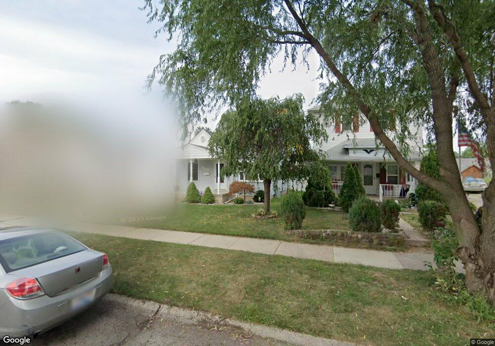
1069 19th St Wyandotte, MI 48192
Estimated Value: $157,750 - $214,000
--
Bed
1
Bath
759
Sq Ft
$236/Sq Ft
Est. Value
About This Home
This home is located at 1069 19th St, Wyandotte, MI 48192 and is currently estimated at $178,938, approximately $235 per square foot. 1069 19th St is a home located in Wayne County with nearby schools including Jefferson Elementary School, Woodrow Wilson School, and Roosevelt High School.
Ownership History
Date
Name
Owned For
Owner Type
Purchase Details
Closed on
Jun 16, 2022
Sold by
Matzkows Donald J and Matzkows Cindy L
Bought by
Russell Aimee R
Current Estimated Value
Home Financials for this Owner
Home Financials are based on the most recent Mortgage that was taken out on this home.
Original Mortgage
$120,000
Outstanding Balance
$108,028
Interest Rate
5.3%
Mortgage Type
New Conventional
Estimated Equity
$70,910
Create a Home Valuation Report for This Property
The Home Valuation Report is an in-depth analysis detailing your home's value as well as a comparison with similar homes in the area
Home Values in the Area
Average Home Value in this Area
Purchase History
| Date | Buyer | Sale Price | Title Company |
|---|---|---|---|
| Russell Aimee R | $150,000 | Quillico Walter D | |
| Russell Aimee R | $150,000 | Quillico Walter D |
Source: Public Records
Mortgage History
| Date | Status | Borrower | Loan Amount |
|---|---|---|---|
| Open | Russell Aimee R | $120,000 | |
| Closed | Russell Aimee R | $120,000 |
Source: Public Records
Tax History Compared to Growth
Tax History
| Year | Tax Paid | Tax Assessment Tax Assessment Total Assessment is a certain percentage of the fair market value that is determined by local assessors to be the total taxable value of land and additions on the property. | Land | Improvement |
|---|---|---|---|---|
| 2025 | $1,645 | $71,500 | $0 | $0 |
| 2024 | $1,645 | $66,700 | $0 | $0 |
| 2023 | $1,568 | $60,700 | $0 | $0 |
| 2022 | $2,123 | $53,200 | $0 | $0 |
| 2021 | $2,373 | $51,300 | $0 | $0 |
| 2020 | $2,341 | $46,900 | $0 | $0 |
| 2019 | $2,305 | $43,400 | $0 | $0 |
| 2018 | $1,662 | $37,400 | $0 | $0 |
| 2017 | $605 | $37,400 | $0 | $0 |
| 2016 | $1,672 | $34,000 | $0 | $0 |
| 2015 | $2,983 | $31,600 | $0 | $0 |
| 2013 | $2,890 | $28,900 | $0 | $0 |
| 2012 | $1,384 | $30,300 | $7,100 | $23,200 |
Source: Public Records
Map
Nearby Homes