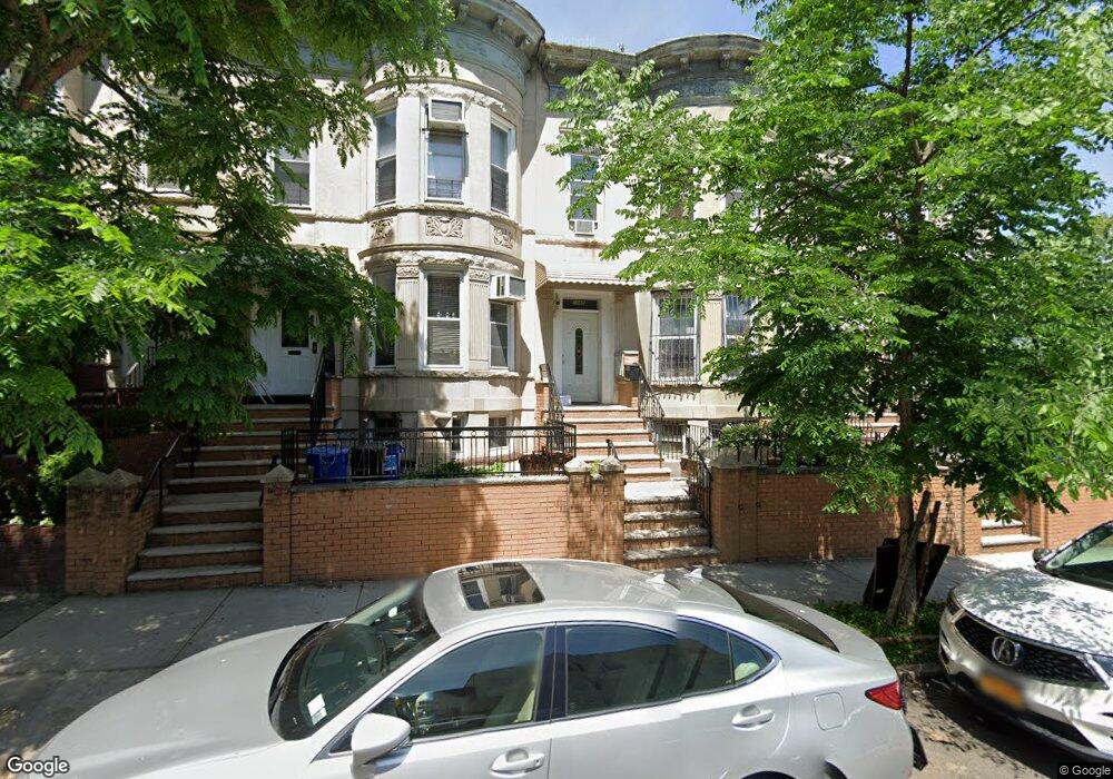
1069 49th St Brooklyn, NY 11219
Borough Park NeighborhoodEstimated Value: $1,415,000 - $1,858,000
Studio
--
Bath
2,280
Sq Ft
$694/Sq Ft
Est. Value
About This Home
This home is located at 1069 49th St, Brooklyn, NY 11219 and is currently estimated at $1,581,283, approximately $693 per square foot. 1069 49th St is a home located in Kings County with nearby schools including P.S. 160 William T Sampson School, IS 220 John J. Pershing, and Franklin Delano Roosevelt High School.
Ownership History
Date
Name
Owned For
Owner Type
Purchase Details
Closed on
May 18, 2010
Sold by
Brown Maureen and Caldwell Paula
Bought by
Hung Kevin V
Current Estimated Value
Purchase Details
Closed on
Jun 9, 2006
Sold by
Giannetto George J
Bought by
Giannetto Living Trust and Giannetto
Purchase Details
Closed on
Jan 31, 2001
Sold by
Ruzzi Ida A and Giannetto Ida A
Bought by
Giannetto George and Brown Maureen
Create a Home Valuation Report for This Property
The Home Valuation Report is an in-depth analysis detailing your home's value as well as a comparison with similar homes in the area
Home Values in the Area
Average Home Value in this Area
Purchase History
| Date | Buyer | Sale Price | Title Company |
|---|---|---|---|
| Hung Kevin V | $757,500 | -- | |
| Hung Kevin V | $757,500 | -- | |
| Giannetto Living Trust | -- | -- | |
| Giannetto Living Trust | -- | -- | |
| Giannetto George | -- | -- | |
| Giannetto George | -- | -- |
Source: Public Records
Tax History
| Year | Tax Paid | Tax Assessment Tax Assessment Total Assessment is a certain percentage of the fair market value that is determined by local assessors to be the total taxable value of land and additions on the property. | Land | Improvement |
|---|---|---|---|---|
| 2025 | $7,663 | $88,800 | $23,640 | $65,160 |
| 2024 | $7,663 | $89,460 | $23,640 | $65,820 |
| 2023 | $7,312 | $101,280 | $23,640 | $77,640 |
| 2022 | $6,837 | $88,920 | $23,640 | $65,280 |
| 2021 | $7,214 | $82,800 | $23,640 | $59,160 |
| 2020 | $3,507 | $74,520 | $23,640 | $50,880 |
| 2019 | $6,602 | $74,520 | $23,640 | $50,880 |
| 2018 | $6,056 | $31,170 | $10,108 | $21,062 |
| 2017 | $5,762 | $29,738 | $12,572 | $17,166 |
| 2016 | $5,635 | $29,738 | $12,847 | $16,891 |
| 2015 | $3,384 | $29,112 | $12,789 | $16,323 |
| 2014 | $3,384 | $27,469 | $13,265 | $14,204 |
Source: Public Records
Map
Nearby Homes
- 4906 Fort Hamilton Pkwy
- 5021 10th Ave
- 4726 New Utrecht Ave
- 4824 New Utrecht Ave
- 5209 Fort Hamilton Pkwy
- 983 52nd St
- 4709 New Utrecht Ave
- 4518 11th Ave
- 972 52nd St
- 1025 45th St Unit 1D
- 1025 45th St Unit 3F
- 934 52nd St
- 911 48th St
- 871 52nd St
- 959 55th St
- 921 45th St
- 845 50th St
- 945 55th St
- 845 51st St
- 1127 43rd St
- 1067 49th St
- 1071 49th St
- 1065 49th St
- 1063 49th St
- 4818 11th Ave
- 4822 11th Ave
- 4816 11th Ave
- 4814 11th Ave
- 4824 11th Ave
- 4812 11th Ave
- 1070 48th St
- 1072 48th St
- 1066 48th St
- 4810 11th Ave
- 4817 Fort Hamilton Pkwy
- 1068 48th St
- 4815 Fort Hamilton Pkwy
- 4815 Fort Hamilton Pkwy Unit 3
- 4809 Fort Hamilton Pkwy
- 4821 Fort Hamilton Pkwy
Your Personal Tour Guide
Ask me questions while you tour the home.