Estimated Value: $238,494 - $264,000
3
Beds
1
Bath
1,130
Sq Ft
$222/Sq Ft
Est. Value
About This Home
This home is located at 1069 Lake Dr, Colon, MI 49040 and is currently estimated at $251,124, approximately $222 per square foot. 1069 Lake Dr is a home located in St. Joseph County.
Ownership History
Date
Name
Owned For
Owner Type
Purchase Details
Closed on
Oct 16, 2015
Sold by
Figgins Dawn R
Bought by
Figgins Dawn R and The Dawn R Figgins Trust
Current Estimated Value
Purchase Details
Closed on
Jul 28, 2014
Sold by
The Michael S Figgins Trust
Bought by
Figgins Michael S and Figgins Dawn R
Purchase Details
Closed on
Nov 1, 2010
Sold by
Figgins Michael S and Figgins Dawn R
Bought by
Figgins Michael S and The Michael S Figgins Trust
Purchase Details
Closed on
May 7, 2010
Sold by
Freeland Lyman C and Freeland Sandra C
Bought by
Figgins Michael S and Figgins Dawn R
Home Financials for this Owner
Home Financials are based on the most recent Mortgage that was taken out on this home.
Original Mortgage
$139,600
Interest Rate
5.05%
Mortgage Type
New Conventional
Purchase Details
Closed on
Jan 1, 1901
Create a Home Valuation Report for This Property
The Home Valuation Report is an in-depth analysis detailing your home's value as well as a comparison with similar homes in the area
Purchase History
| Date | Buyer | Sale Price | Title Company |
|---|---|---|---|
| Figgins Dawn R | -- | Attorney | |
| Figgins Michael S | -- | Attorney | |
| Figgins Dawn R | -- | Attorney | |
| Figgins Michael S | -- | Attorney | |
| Figgins Michael S | -- | Chicago Title | |
| Figgins Michael S | -- | None Available | |
| Figgins Michael S | -- | None Available | |
| Figgins Michael S | $175,000 | Lighthouse Title Inc | |
| -- | -- | -- |
Source: Public Records
Mortgage History
| Date | Status | Borrower | Loan Amount |
|---|---|---|---|
| Previous Owner | Figgins Michael S | $139,600 |
Source: Public Records
Tax History
| Year | Tax Paid | Tax Assessment Tax Assessment Total Assessment is a certain percentage of the fair market value that is determined by local assessors to be the total taxable value of land and additions on the property. | Land | Improvement |
|---|---|---|---|---|
| 2025 | $2,175 | $112,500 | $31,600 | $80,900 |
| 2024 | $1,871 | $105,600 | $29,900 | $75,700 |
| 2023 | $2,040 | $94,200 | $29,900 | $64,300 |
| 2022 | $0 | $83,600 | $29,900 | $53,700 |
| 2021 | $1,767 | $79,500 | $29,900 | $49,600 |
| 2020 | $895 | $79,600 | $29,900 | $49,700 |
| 2019 | $685 | $72,900 | $29,900 | $43,000 |
| 2018 | $2,549 | $69,100 | $29,900 | $39,200 |
| 2017 | $3,515 | $63,300 | $63,300 | $0 |
| 2016 | -- | $64,300 | $64,300 | $0 |
| 2015 | -- | $62,600 | $0 | $0 |
| 2014 | -- | $59,000 | $59,000 | $0 |
| 2012 | -- | $69,900 | $69,900 | $0 |
Source: Public Records
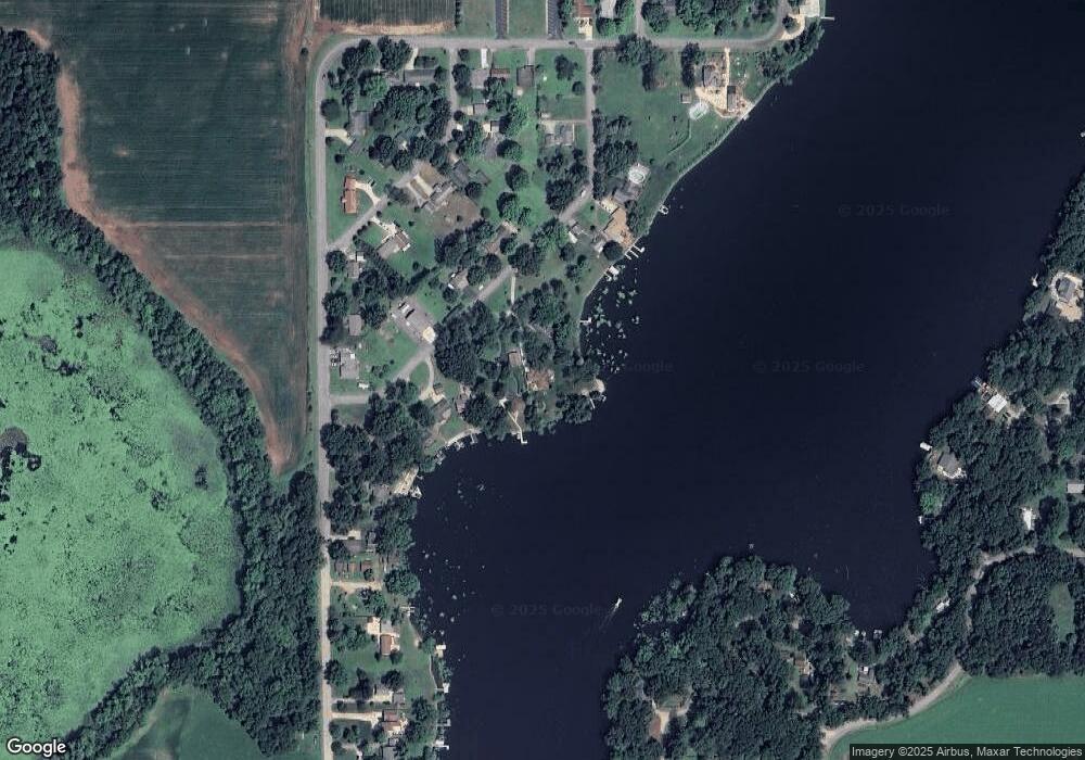
Map
Nearby Homes
- 448 Long Lake Rd
- 917 Elm St
- VL Bowman St
- 622 Maple St
- 58954 Lakeshore Dr
- 32205 James St
- 210 E South St
- 0 S Farrand Unit 25051538
- 161 Palmer Ave
- 120 Palmer Ave
- 309 N Blackstone Ave
- 407 Barry St
- 0 Coohon Rd
- 31908 Decker Rd
- 0 N Burr Oak Rd
- 31688 W Colon Rd
- 59178 Nora Dr
- 30725 Orla Engle Rd
- 55637 Bennett Rd
- 30315 Jacksonburg Rd
Your Personal Tour Guide
Ask me questions while you tour the home.