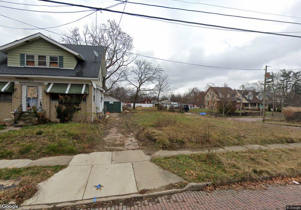
1069 Laurel Ave Akron, OH 44307
Sherbondy Hill NeighborhoodEstimated Value: $106,000
3
Beds
3
Baths
1,775
Sq Ft
$60/Sq Ft
Est. Value
About This Home
This home is located at 1069 Laurel Ave, Akron, OH 44307 and is currently priced at $106,000, approximately $59 per square foot. 1069 Laurel Ave is a home located in Summit County with nearby schools including St. Bernard-St. Mary Elementary School.
Ownership History
Date
Name
Owned For
Owner Type
Purchase Details
Closed on
Sep 17, 2019
Sold by
Morgan Tate & Brewer Llc
Bought by
Messenger Heaven S
Current Estimated Value
Purchase Details
Closed on
Jun 7, 2017
Sold by
Wells Fargo Bank N A
Bought by
Tate & Brewer Llc
Purchase Details
Closed on
Mar 17, 2017
Sold by
Menefee Fletcher
Bought by
Wells Fargo Bank Na
Purchase Details
Closed on
Jan 23, 2017
Sold by
Menefee Flethcer
Bought by
Wells Fargbo Bank Na
Create a Home Valuation Report for This Property
The Home Valuation Report is an in-depth analysis detailing your home's value as well as a comparison with similar homes in the area
Home Values in the Area
Average Home Value in this Area
Purchase History
| Date | Buyer | Sale Price | Title Company |
|---|---|---|---|
| Messenger Heaven S | -- | None Available | |
| Tate & Brewer Llc | -- | None Available | |
| Wells Fargo Bank Na | $5,000 | None Available | |
| Wells Fargbo Bank Na | -- | None Available |
Source: Public Records
Tax History
| Year | Tax Paid | Tax Assessment Tax Assessment Total Assessment is a certain percentage of the fair market value that is determined by local assessors to be the total taxable value of land and additions on the property. | Land | Improvement |
|---|---|---|---|---|
| 2025 | $12,992 | $2,835 | $2,835 | -- |
| 2024 | $416 | $2,835 | $2,835 | -- |
| 2023 | $421 | $2,835 | $2,835 | -- |
| 2022 | $421 | $2,835 | $2,835 | $0 |
| 2021 | $422 | $2,835 | $2,835 | $0 |
Source: Public Records
Map
Nearby Homes
- 1021 La Croix Ave
- 994 Moeller Ave
- 692 W Thornton St
- 702 W Thornton St
- 443 W Thornton St
- 939 Lane St
- 1365 East Ave
- 732 Vernon Odom Blvd
- 975 Raymond St
- 815 Longview Ave
- 1413 East Ave
- 776 Krause Ct
- 985 Diana Ave
- 1225 Belleflower Rd
- 258 Oberlin Ct
- 1479 East Ave
- 839 Kenyon St
- 777 Ruth Ave
- 817 Raymond St
- 1556 Overlook Dr
- 1065 Laurel Ave
- 1061 Laurel Ave
- 580 Blanche St
- 579 Blanche St
- 1073 Laurel Ave
- 1082 Laurel Ave
- 570 W Thornton St
- 583 Blanche St
- 1077 Laurel Ave
- 582 Blanche St
- 1081 Laurel Ave
- 1086 Laurel Ave
- 588 Blanche St
- 587 Blanche St
- 580 W Thornton St
- 1085 Laurel Ave
- 1090 Laurel Ave
- 592 Blanche St
- 595 Blanche St
- 584 W Thornton St
Your Personal Tour Guide
Ask me questions while you tour the home.