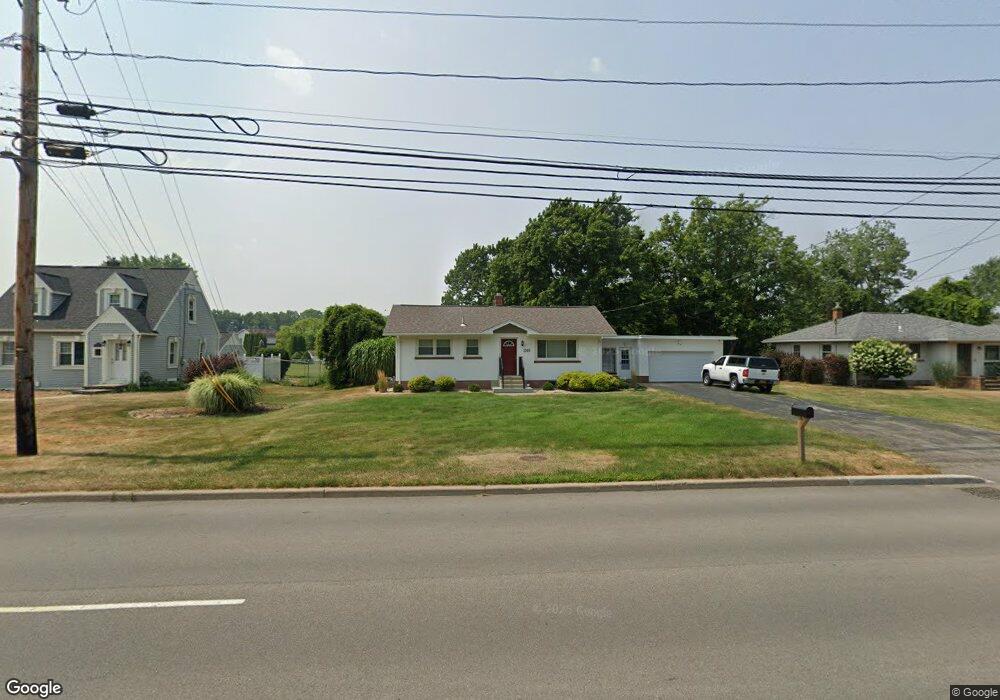
1069 Long Pond Rd Rochester, NY 14626
Estimated Value: $142,000 - $224,000
3
Beds
1
Bath
912
Sq Ft
$203/Sq Ft
Est. Value
About This Home
This home is located at 1069 Long Pond Rd, Rochester, NY 14626 and is currently estimated at $185,171, approximately $203 per square foot. 1069 Long Pond Rd is a home located in Monroe County with nearby schools including Greece Community Early Learning Center, Brookside Elementary School, and Olympia High School.
Ownership History
Date
Name
Owned For
Owner Type
Purchase Details
Closed on
Sep 28, 2017
Sold by
Meeson Mark
Bought by
Sjmc Properties Llc
Current Estimated Value
Home Financials for this Owner
Home Financials are based on the most recent Mortgage that was taken out on this home.
Original Mortgage
$250,000
Outstanding Balance
$60,221
Interest Rate
3.82%
Mortgage Type
New Conventional
Estimated Equity
$124,950
Purchase Details
Closed on
Dec 5, 2014
Sold by
Jaufmann Karoline and Jaufman Jacob
Bought by
Meeson Mark
Create a Home Valuation Report for This Property
The Home Valuation Report is an in-depth analysis detailing your home's value as well as a comparison with similar homes in the area
Home Values in the Area
Average Home Value in this Area
Purchase History
| Date | Buyer | Sale Price | Title Company |
|---|---|---|---|
| Sjmc Properties Llc | -- | -- | |
| Meeson Mark | $60,000 | None Available |
Source: Public Records
Mortgage History
| Date | Status | Borrower | Loan Amount |
|---|---|---|---|
| Open | Sjmc Properties Llc | $250,000 |
Source: Public Records
Tax History Compared to Growth
Tax History
| Year | Tax Paid | Tax Assessment Tax Assessment Total Assessment is a certain percentage of the fair market value that is determined by local assessors to be the total taxable value of land and additions on the property. | Land | Improvement |
|---|---|---|---|---|
| 2024 | $3,938 | $87,300 | $25,700 | $61,600 |
| 2023 | $3,852 | $87,300 | $25,700 | $61,600 |
| 2022 | $3,786 | $87,000 | $28,500 | $58,500 |
| 2021 | $3,780 | $87,000 | $28,500 | $58,500 |
| 2020 | $3,793 | $87,000 | $28,500 | $58,500 |
| 2019 | $3,723 | $87,000 | $28,500 | $58,500 |
| 2018 | $3,781 | $87,000 | $28,500 | $58,500 |
| 2017 | $2,109 | $87,000 | $28,500 | $58,500 |
| 2016 | $3,723 | $87,000 | $28,500 | $58,500 |
| 2015 | -- | $87,000 | $28,500 | $58,500 |
| 2014 | -- | $87,000 | $28,500 | $58,500 |
Source: Public Records
Map
Nearby Homes
- 50 Ballad Ave
- 31 Blue Grass Ln
- 108 Running Brook Ln
- 159 Charit Way
- 94 Blue Grass Ln
- 41 Running Brook Ln
- 1710 Maiden Ln
- 103 Pointe Vintage Dr
- 49 Mathew Ln
- 80 Alecia Dr
- 639 Sharon Dr
- 573 Harvest Dr
- 136 Dorian Ln
- 513 Harvest Dr
- 275 Barmont Dr
- 67 Mill Run Dr
- 60 Cindy Ln
- 125 Barmont Dr
- 113 Cindy Ln
- 76 Creekwood Dr
- 1067 Long Pond Rd
- 1071 Long Pond Rd
- 43 Southwind Ct
- 1065 Long Pond Rd
- 40 Southwind Ct
- 1066 Long Pond Rd
- 1062 Long Pond Rd
- 1076 Long Pond Rd
- 33 Southwind Ct
- 36 Southwind Ct
- 1080 Long Pond Rd
- 1061 Long Pond Rd
- 29 Nicolette Cir
- 1056 Long Pond Rd
- 25 Southwind Ct
- 30 Southwind Ct
- 21 Nicolette Cir
- 39 Preston Cir
- 1058 Long Pond Rd
- 1086 Long Pond Rd