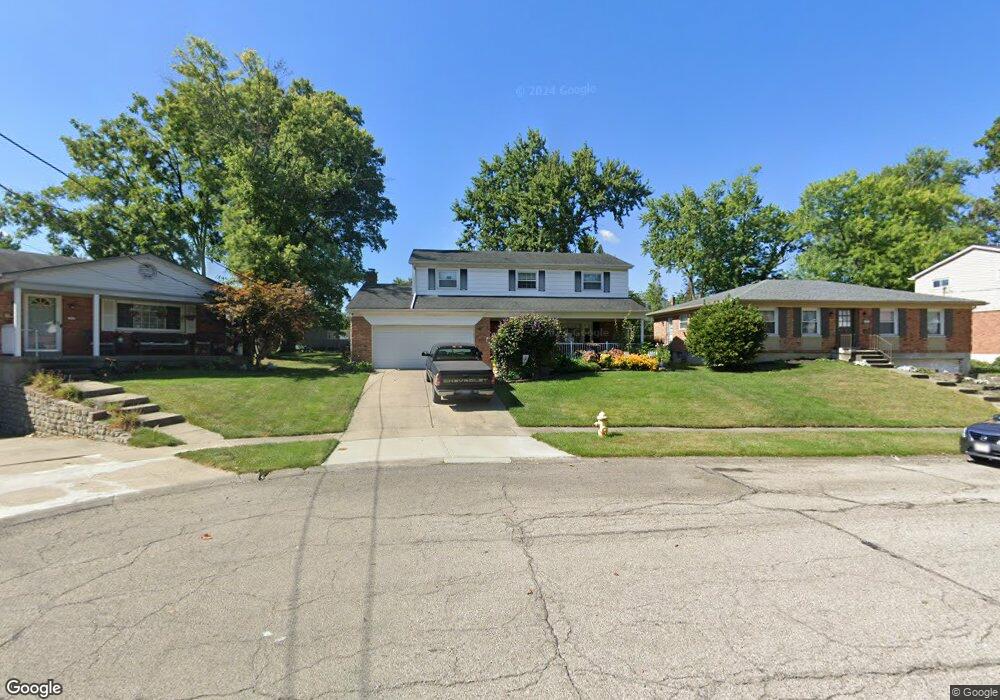
1069 Meadowind Ct Cincinnati, OH 45231
Finneytown NeighborhoodEstimated Value: $257,293 - $305,000
About This Home
This home is located at 1069 Meadowind Ct, Cincinnati, OH 45231 and is currently estimated at $271,823, approximately $145 per square foot. 1069 Meadowind Ct is a home located in Hamilton County with nearby schools including Mt Healthy High School, John Paul II Catholic School, and St. Vivian School.
Ownership History
We collect this data history from publicly available records. To have your information removed, we recommend requesting removal directly through your county’s website.
Purchase Details
Purchase Details
Home Financials for this Owner
Home Financials are based on the most recent Mortgage that was taken out on this home.Home Values in the Area
Average Home Value in this Area
Purchase History
We collect this data history from publicly available records. To have your information removed, we recommend requesting removal directly through your county’s website.
| Date | Buyer | Sale Price | Title Company |
|---|---|---|---|
| -- | -- | ||
| -- | -- |
Mortgage History
We collect this data history from publicly available records. To have your information removed, we recommend requesting removal directly through your county’s website.
| Date | Status | Borrower | Loan Amount |
|---|---|---|---|
| Closed | $83,000 |
Tax History
We collect this data history from publicly available records. To have your information removed, we recommend requesting removal directly through your county’s website.
| Year | Tax Paid | Tax Assessment Tax Assessment Total Assessment is a certain percentage of the fair market value that is determined by local assessors to be the total taxable value of land and additions on the property. | Land | Improvement |
|---|---|---|---|---|
| 2025 | $3,970 | $68,380 | $7,196 | $61,184 |
| 2023 | $3,736 | $68,380 | $7,196 | $61,184 |
| 2022 | $3,700 | $48,769 | $6,048 | $42,721 |
| 2021 | $3,601 | $48,769 | $6,048 | $42,721 |
| 2020 | $3,655 | $48,769 | $6,048 | $42,721 |
| 2019 | $3,312 | $41,328 | $5,124 | $36,204 |
| 2018 | $3,330 | $41,328 | $5,124 | $36,204 |
| 2017 | $3,160 | $41,328 | $5,124 | $36,204 |
| 2016 | $3,160 | $40,734 | $5,562 | $35,172 |
| 2015 | $3,184 | $40,734 | $5,562 | $35,172 |
| 2014 | $3,169 | $40,734 | $5,562 | $35,172 |
| 2013 | $3,042 | $39,935 | $5,453 | $34,482 |
Map
- 8829 Mockingbird Ln
- 8847 Mockingbird Ln
- 1149 Madeleine Cir
- 1042 Hollytree Dr
- 1176 Madeleine Cir
- 1116 Madeleine Cir
- 8646 Elmtree Ave
- 8754 Monsanto Dr
- 1107 Compton Rd
- 998 Vacationland Dr
- 962 Hollytree Dr
- 958 Hollytree Dr
- 8779 Daly Rd
- 1055 Hempstead Dr
- 8796 Balboa Dr
- 8877 Balboa Dr
- 8668 Daly Rd
- 8634 Daly Rd
- 1051 Flintlock Dr
- 8819 Grenada Dr
- 1073 Meadowind Ct
- 1065 Meadowind Ct
- 1116 Tassie Ln
- 1120 Tassie Ln
- 1110 Tassie Ln
- 1062 Meadowind Ct
- 1126 Tassie Ln
- 1106 Tassie Ln
- 1081 Meadowind Ct
- 1070 Meadowind Ct
- 1130 Tassie Ln
- 1066 Meadowind Ct
- 1078 Meadowind Ct
- 1074 Meadowind Ct
- 1136 Tassie Ln
- 1085 Meadowind Ct
- 1100 Tassie Ln
- 1082 Meadowind Ct
- 1115 Tassie Ln
- 1140 Tassie Ln
Ask me questions while you tour the home.