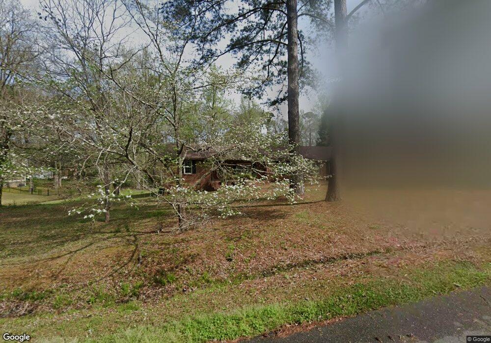
1069 Saint Andrews Rd Macon, GA 31210
Estimated Value: $288,000 - $327,000
3
Beds
2
Baths
2,270
Sq Ft
$133/Sq Ft
Est. Value
About This Home
This home is located at 1069 Saint Andrews Rd, Macon, GA 31210 and is currently estimated at $300,786, approximately $132 per square foot. 1069 Saint Andrews Rd is a home located in Bibb County with nearby schools including Carter Elementary School, Howard Middle School, and Howard High School.
Ownership History
Date
Name
Owned For
Owner Type
Purchase Details
Closed on
Feb 10, 2010
Sold by
Grant Henry T and Grant Martha T
Bought by
Cavanary Julia H
Current Estimated Value
Purchase Details
Closed on
Sep 23, 2008
Sold by
Barnwell Bonnie A and Johnson Brooke
Bought by
Grant Henry T and Grant Martha T
Create a Home Valuation Report for This Property
The Home Valuation Report is an in-depth analysis detailing your home's value as well as a comparison with similar homes in the area
Home Values in the Area
Average Home Value in this Area
Purchase History
| Date | Buyer | Sale Price | Title Company |
|---|---|---|---|
| Cavanary Julia H | $173,500 | None Available | |
| Grant Henry T | $85,000 | None Available | |
| Barnwell Bonnie A | -- | None Available |
Source: Public Records
Tax History Compared to Growth
Tax History
| Year | Tax Paid | Tax Assessment Tax Assessment Total Assessment is a certain percentage of the fair market value that is determined by local assessors to be the total taxable value of land and additions on the property. | Land | Improvement |
|---|---|---|---|---|
| 2025 | $2,010 | $88,779 | $22,750 | $66,029 |
| 2024 | $2,077 | $88,779 | $22,750 | $66,029 |
| 2023 | $1,620 | $88,779 | $22,750 | $66,029 |
| 2022 | $2,084 | $67,184 | $14,292 | $52,892 |
| 2021 | $2,287 | $67,184 | $14,292 | $52,892 |
| 2020 | $2,337 | $67,184 | $14,292 | $52,892 |
| 2019 | $2,356 | $67,184 | $14,292 | $52,892 |
| 2018 | $3,788 | $67,184 | $14,292 | $52,892 |
| 2017 | $2,255 | $67,184 | $14,292 | $52,892 |
| 2016 | $2,299 | $73,458 | $14,292 | $59,167 |
| 2015 | $3,255 | $73,458 | $14,292 | $59,167 |
| 2014 | $3,260 | $73,458 | $14,292 | $59,167 |
Source: Public Records
Map
Nearby Homes
- 1055 Saint Andrews Rd
- 1083 Saint Andrews Rd
- 1062 Saint Andrews Rd
- 1041 Saint Andrews Rd
- 1048 Saint Andrews Rd
- 1070 Ashley Hall Rd
- 1054 Ashley Hall Rd
- 1090 Saint Andrews Rd
- 1030 Ashley Hall Rd
- 1094 Saint Andrews Rd
- 1068 Ashley Hall Rd
- 1034 Saint Andrews Rd
- 1016 Ashley Hall Rd
- 1021 Saint Andrews Rd
- 1020 Saint Andrews Rd
- 1101 Tucker Rd
- 1041 Tucker Rd
- 1082 Ashley Hall Rd
- 1031 Ashley Hall Rd
- 0 Saint Andrews Rd