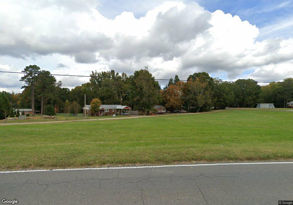
1069 Sheila Ln Salisbury, NC 28146
Estimated Value: $182,000 - $255,000
Studio
1
Bath
1,326
Sq Ft
$158/Sq Ft
Est. Value
About This Home
This home is located at 1069 Sheila Ln, Salisbury, NC 28146 and is currently estimated at $209,236, approximately $157 per square foot. 1069 Sheila Ln is a home located in Rowan County with nearby schools including China Grove Elementary School, Southeast Middle School, and Jesse C Carson High School.
Ownership History
Date
Name
Owned For
Owner Type
Purchase Details
Closed on
Apr 20, 2016
Sold by
Infanti Sheila and Craft Tina Infanti
Bought by
Paddock Dennis S
Current Estimated Value
Home Financials for this Owner
Home Financials are based on the most recent Mortgage that was taken out on this home.
Original Mortgage
$40,000
Outstanding Balance
$17,014
Interest Rate
2.99%
Mortgage Type
New Conventional
Estimated Equity
$192,222
Purchase Details
Closed on
Feb 1, 2012
Sold by
Ihnfanti Sheila
Bought by
Ihnfanti Sheila and Sikes John
Create a Home Valuation Report for This Property
The Home Valuation Report is an in-depth analysis detailing your home's value as well as a comparison with similar homes in the area
Purchase History
| Date | Buyer | Sale Price | Title Company |
|---|---|---|---|
| Paddock Dennis S | $40,000 | None Available | |
| Ihnfanti Sheila | -- | None Available |
Source: Public Records
Mortgage History
| Date | Status | Borrower | Loan Amount |
|---|---|---|---|
| Open | Paddock Dennis S | $40,000 |
Source: Public Records
Tax History
| Year | Tax Paid | Tax Assessment Tax Assessment Total Assessment is a certain percentage of the fair market value that is determined by local assessors to be the total taxable value of land and additions on the property. | Land | Improvement |
|---|---|---|---|---|
| 2025 | $860 | $128,417 | $26,928 | $101,489 |
| 2024 | $860 | $128,417 | $26,928 | $101,489 |
| 2023 | $860 | $128,417 | $26,928 | $101,489 |
| 2022 | $705 | $94,263 | $26,928 | $67,335 |
| 2021 | $699 | $94,263 | $26,928 | $67,335 |
| 2020 | $699 | $94,263 | $26,928 | $67,335 |
| 2019 | $699 | $94,263 | $26,928 | $67,335 |
| 2018 | $571 | $77,666 | $25,214 | $52,452 |
| 2017 | $571 | $77,666 | $25,214 | $52,452 |
| 2016 | $571 | $77,666 | $25,214 | $52,452 |
| 2015 | $580 | $77,666 | $25,214 | $52,452 |
| 2014 | $498 | $69,895 | $15,731 | $54,164 |
Source: Public Records
Map
Nearby Homes
- 1080 Beckham Rd
- 1060 Beckham Rd
- 1352 Eva Ln
- 000 Brookfield Cir
- 0 Brookfield Cir Unit CAR4292885
- 225 Dulin Ave
- 1675 N Main St
- 1395 Safrit Rd
- 6255 Meadow Ln
- 5650 Bertie Ave
- 425 Acorn Oaks Dr
- 410 Black Bear St Unit 153p
- 450 Black Bear St Unit 149p
- 460 Black Bear St Unit 148p
- 465 Black Bear St Unit 156p
- 355 Swink Ave
- 0 Bud Ln
- 179 Spring Oak Dr
- 0 Highway 152 E Unit 1200411
- 220 Yost Town Rd
- 1053 Sheila Ln
- 838 Mt Hope Church Rd
- 1120 Ed Weavers Rd
- 360 Kings Terrace
- 350 Kings Terrace
- 1070 Ed Weavers Rd
- 1155 Ed Weavers Rd
- 340 Kings Terrace
- 825 Mount Hope Church Rd
- 1030 Ed Weavers Rd
- 365 Kings Terrace
- 115 Mae Rd
- 330 Kings Terrace
- 205 Mae Rd
- 980 Ed Weaver Rd
- 980 Ed Weavers Rd
- 765 Mt Hope Church Rd
- 765 Mount Hope Church Rd
- 325 Kings Terrace
- 985 Ed Weavers Rd
Your Personal Tour Guide
Ask me questions while you tour the home.