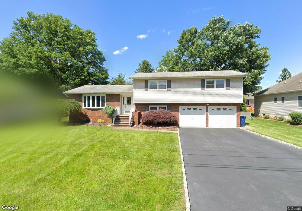
1069 Spring St North Brunswick, NJ 08902
Estimated Value: $526,528 - $704,000
Studio
--
Bath
1,990
Sq Ft
$311/Sq Ft
Est. Value
About This Home
This home is located at 1069 Spring St, North Brunswick, NJ 08902 and is currently estimated at $619,132, approximately $311 per square foot. 1069 Spring St is a home located in Middlesex County with nearby schools including John Adams Elementary School, Linwood Middle School, and North Brunswick Twp High School.
Ownership History
Date
Name
Owned For
Owner Type
Purchase Details
Closed on
Aug 1, 2000
Sold by
Mccarthy Michael
Bought by
Boka Tibor and Boka Kim
Current Estimated Value
Home Financials for this Owner
Home Financials are based on the most recent Mortgage that was taken out on this home.
Original Mortgage
$160,000
Outstanding Balance
$57,646
Interest Rate
8.13%
Estimated Equity
$561,486
Purchase Details
Closed on
Sep 23, 1993
Sold by
Pulporak Jane
Bought by
Mccarthy Michael and Mc Carthy Mary
Home Financials for this Owner
Home Financials are based on the most recent Mortgage that was taken out on this home.
Original Mortgage
$105,000
Interest Rate
7%
Create a Home Valuation Report for This Property
The Home Valuation Report is an in-depth analysis detailing your home's value as well as a comparison with similar homes in the area
Home Values in the Area
Average Home Value in this Area
Purchase History
| Date | Buyer | Sale Price | Title Company |
|---|---|---|---|
| Boka Tibor | $220,000 | -- | |
| Mccarthy Michael | $131,250 | -- |
Source: Public Records
Mortgage History
| Date | Status | Borrower | Loan Amount |
|---|---|---|---|
| Open | Boka Tibor | $160,000 | |
| Previous Owner | Mccarthy Michael | $105,000 |
Source: Public Records
Tax History
| Year | Tax Paid | Tax Assessment Tax Assessment Total Assessment is a certain percentage of the fair market value that is determined by local assessors to be the total taxable value of land and additions on the property. | Land | Improvement |
|---|---|---|---|---|
| 2025 | $10,372 | $163,700 | $58,000 | $105,700 |
| 2024 | $10,185 | $163,700 | $58,000 | $105,700 |
| 2023 | $10,185 | $163,700 | $58,000 | $105,700 |
| 2022 | $9,838 | $163,700 | $58,000 | $105,700 |
| 2021 | $7,168 | $163,700 | $58,000 | $105,700 |
| 2020 | $9,472 | $163,700 | $58,000 | $105,700 |
| 2019 | $9,279 | $163,700 | $58,000 | $105,700 |
| 2018 | $9,089 | $163,700 | $58,000 | $105,700 |
| 2017 | $8,928 | $163,700 | $58,000 | $105,700 |
| 2016 | $8,742 | $163,700 | $58,000 | $105,700 |
| 2015 | $8,593 | $163,700 | $58,000 | $105,700 |
| 2014 | $8,496 | $163,700 | $58,000 | $105,700 |
Source: Public Records
Map
Nearby Homes
- 1 Michael Ct
- 18 Sheffield Ct
- 17 Pembrook Ave
- 100 Goodwin Dr
- 4116 Birchwood Ct
- 1 Dartmouth Way
- 310 Willowbrook Dr
- 40 Kingston Run
- 102 Riverbend Dr
- 478 Witney Ct
- 480 Witney Ct
- 55 Riverbend Dr
- 358 Hadleigh Ln
- 382 Hadleigh Ln
- 3 Ascot Place
- 1740 Holly Rd
- 746 Spruce Rd
- 93 Amy Dr
- 9 Chipwood Ln
- 114 Jared Dr
- 1061 Spring St
- 1053 Spring St
- 1075 Spring St
- 1070 Spring St
- 1076 Spring St
- 1074 Apache St
- 1060 Apache St
- 1086 Apache St
- 1081 Spring St
- 1071 Apache St
- 1092 Apache St
- 1045 Spring St
- 1071 Cozzens Ln
- 0-0 Arlington Ave
- 1048 Apache St
- 1917 Arlington Ave
- 1081 Apache St
- 1087 Apache St
- 1065 Apache St
- 1902 Arlington Ave
Your Personal Tour Guide
Ask me questions while you tour the home.