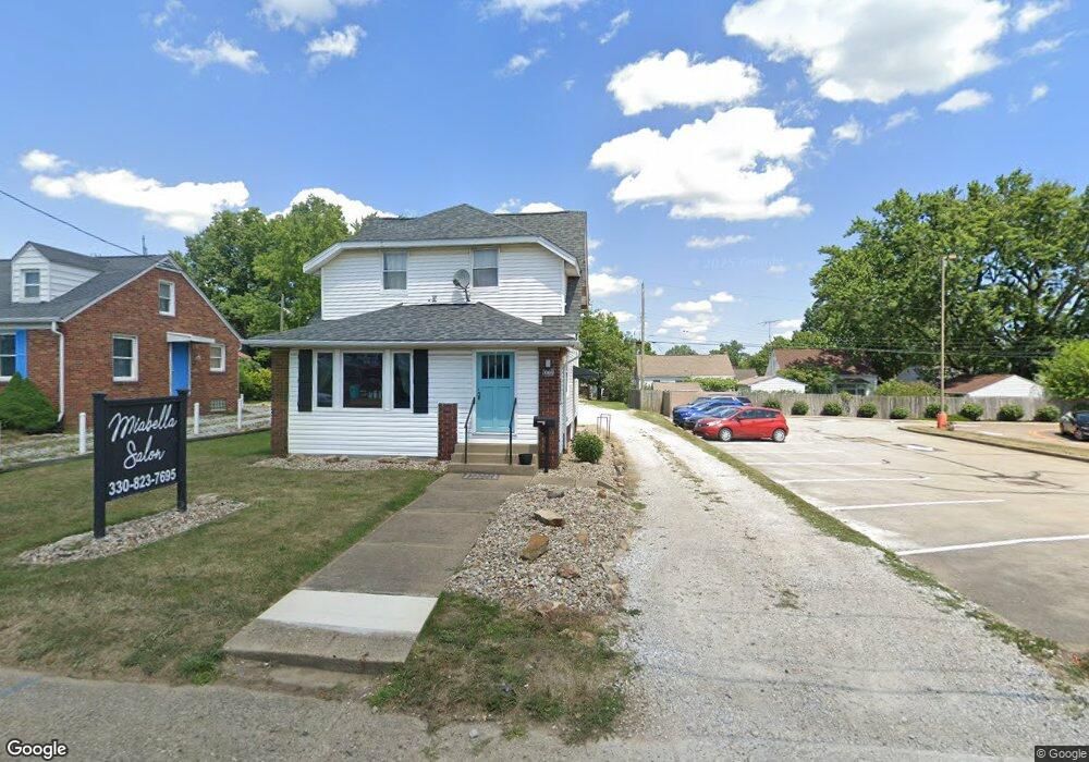
1069 W State St Alliance, OH 44601
Estimated Value: $124,000 - $201,000
2
Beds
2
Baths
1,361
Sq Ft
$121/Sq Ft
Est. Value
About This Home
This home is located at 1069 W State St, Alliance, OH 44601 and is currently estimated at $165,300, approximately $121 per square foot. 1069 W State St is a home located in Stark County with nearby schools including Alliance Early Learning School, Alliance Intermediate School at Northside, and Alliance Middle School.
Ownership History
Date
Name
Owned For
Owner Type
Purchase Details
Closed on
Apr 14, 2023
Sold by
Knowles Kevin G
Bought by
Miabella Properties Llc
Current Estimated Value
Purchase Details
Closed on
Dec 16, 2004
Sold by
Grim Phillip M
Bought by
Knowles Kevin G
Home Financials for this Owner
Home Financials are based on the most recent Mortgage that was taken out on this home.
Original Mortgage
$82,000
Interest Rate
7.15%
Mortgage Type
Purchase Money Mortgage
Purchase Details
Closed on
May 13, 1999
Sold by
Schopp Marilyn
Bought by
Grim Phillip M
Home Financials for this Owner
Home Financials are based on the most recent Mortgage that was taken out on this home.
Original Mortgage
$60,690
Interest Rate
7.04%
Mortgage Type
Purchase Money Mortgage
Purchase Details
Closed on
Sep 8, 1993
Create a Home Valuation Report for This Property
The Home Valuation Report is an in-depth analysis detailing your home's value as well as a comparison with similar homes in the area
Home Values in the Area
Average Home Value in this Area
Purchase History
| Date | Buyer | Sale Price | Title Company |
|---|---|---|---|
| Miabella Properties Llc | $47,300 | None Listed On Document | |
| Knowles Kevin G | $82,000 | -- | |
| Grim Phillip M | $71,500 | -- | |
| -- | $49,500 | -- |
Source: Public Records
Mortgage History
| Date | Status | Borrower | Loan Amount |
|---|---|---|---|
| Previous Owner | Knowles Kevin G | $82,000 | |
| Previous Owner | Grim Phillip M | $60,690 |
Source: Public Records
Tax History
| Year | Tax Paid | Tax Assessment Tax Assessment Total Assessment is a certain percentage of the fair market value that is determined by local assessors to be the total taxable value of land and additions on the property. | Land | Improvement |
|---|---|---|---|---|
| 2025 | -- | $35,460 | $24,540 | $10,920 |
| 2024 | -- | $35,460 | $24,540 | $10,920 |
| 2023 | $1,533 | $29,540 | $20,440 | $9,100 |
| 2022 | $1,547 | $29,540 | $20,440 | $9,100 |
| 2021 | $1,538 | $29,540 | $20,440 | $9,100 |
| 2020 | $1,508 | $26,850 | $18,590 | $8,260 |
| 2019 | $1,470 | $26,860 | $18,590 | $8,270 |
Source: Public Records
Map
Nearby Homes
- 1042 Hartshorn St
- 1016 Roseland Rd
- 1615 Fairview Place
- 1718 Fernwood Blvd
- 0 Federal Ave
- 720 Vincent Blvd
- 2580 Crestview Ave
- 1310 Overlook Dr
- 1176 Parkside Dr
- 1201 Overlook Dr
- 1870 Northview Ave
- 1030 Sunset Dr
- 1136 Parkway Blvd
- 2364 Shunk Ave
- 1601 Raywood Rd
- 1050 Parkway Blvd
- 970 Kingsway St
- 2117 Miller Ave
- 856 Birchwood Dr
- 2705 Shunk Ave
- 1061 W State St
- 1085 W State St
- 1060 Hartshorn St
- 1052 Hartshorn St
- 1900 Fairview Place
- 1034 Hartshorn St
- 1911 Fairview Place
- 1024 Hartshorn St
- 1061 W Hartshorn St
- 1069 Hartshorn St
- 1061 Hartshorn St
- 1077 Hartshorn St
- 1085 Hartshorn St
- 1053 Hartshorn St
- 1095 Hartshorn St
- 1045 Hartshorn St
- 1005 999 W State
- 1005 W State St
- 1004 Hartshorn St
- 1035 Hartshorn St