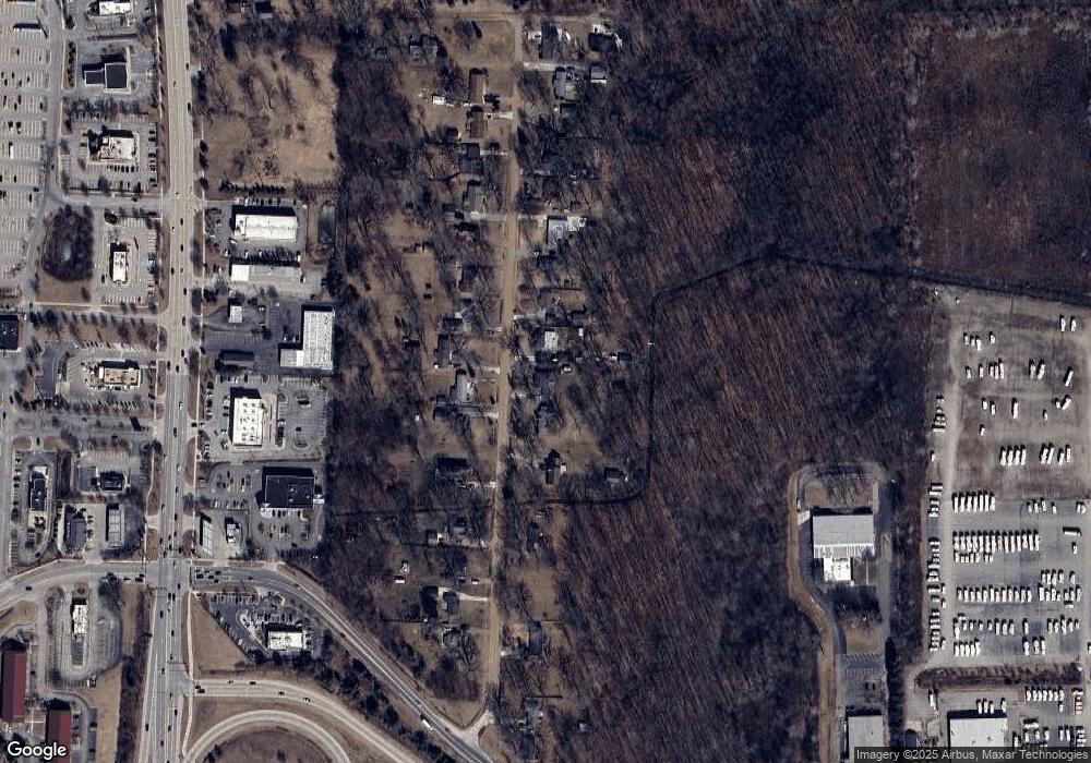
10695 Dewitt Rd Belleville, MI 48111
Estimated Value: $226,475 - $259,000
3
Beds
1
Bath
1,284
Sq Ft
$190/Sq Ft
Est. Value
About This Home
This home is located at 10695 Dewitt Rd, Belleville, MI 48111 and is currently estimated at $243,619, approximately $189 per square foot. 10695 Dewitt Rd is a home located in Wayne County with nearby schools including Owen Intermediate School, Tyler Road Elementary School, and McBride Middle School.
Ownership History
Date
Name
Owned For
Owner Type
Purchase Details
Closed on
Mar 21, 2003
Sold by
Amodeo Anthony J
Bought by
Amodeo Anthony J
Current Estimated Value
Home Financials for this Owner
Home Financials are based on the most recent Mortgage that was taken out on this home.
Original Mortgage
$144,000
Interest Rate
5.94%
Mortgage Type
Purchase Money Mortgage
Purchase Details
Closed on
Oct 26, 2001
Sold by
Dodes Martin C
Bought by
Amodeo Anthony J
Purchase Details
Closed on
Aug 11, 1994
Sold by
Michael A Rakotz
Bought by
Rakotz Michael and Rakotz Susan
Home Financials for this Owner
Home Financials are based on the most recent Mortgage that was taken out on this home.
Original Mortgage
$80,000
Interest Rate
8.73%
Mortgage Type
New Conventional
Create a Home Valuation Report for This Property
The Home Valuation Report is an in-depth analysis detailing your home's value as well as a comparison with similar homes in the area
Home Values in the Area
Average Home Value in this Area
Purchase History
| Date | Buyer | Sale Price | Title Company |
|---|---|---|---|
| Amodeo Anthony J | -- | Blue Water Title Company | |
| Amodeo Anthony J | $175,000 | -- | |
| Rakotz Michael | $100,000 | -- |
Source: Public Records
Mortgage History
| Date | Status | Borrower | Loan Amount |
|---|---|---|---|
| Closed | Amodeo Anthony J | $144,000 | |
| Previous Owner | Rakotz Michael | $80,000 |
Source: Public Records
Tax History
| Year | Tax Paid | Tax Assessment Tax Assessment Total Assessment is a certain percentage of the fair market value that is determined by local assessors to be the total taxable value of land and additions on the property. | Land | Improvement |
|---|---|---|---|---|
| 2025 | $1,446 | $118,200 | $0 | $0 |
| 2024 | $1,404 | $106,300 | $0 | $0 |
| 2023 | $1,340 | $93,900 | $0 | $0 |
| 2022 | $2,133 | $83,300 | $0 | $0 |
| 2021 | $2,095 | $78,200 | $0 | $0 |
| 2020 | $2,070 | $73,900 | $0 | $0 |
| 2019 | $2,035 | $69,000 | $0 | $0 |
| 2018 | $1,029 | $58,700 | $0 | $0 |
| 2017 | $1,902 | $56,200 | $0 | $0 |
| 2016 | $1,726 | $56,900 | $0 | $0 |
| 2015 | $5,304 | $53,200 | $0 | $0 |
| 2013 | $5,180 | $51,800 | $0 | $0 |
| 2010 | -- | $51,900 | $0 | $0 |
Source: Public Records
Map
Nearby Homes
- 45109 Interstate 94 S Service Dr
- 44017 Harmony Ln
- 43891 Interstate 94 S Service Dr
- 44505 Harmony Ln
- 45762 Prairiegrass Ct Unit 7
- 45717 Prairiegrass Ct Unit 99
- 9714 Sawgrass Ct Unit 51
- 6555 Bristol Dr
- 10225 Quirk Rd
- 44804 Tyler Rd
- 9588 Wheatgrass Ln
- 45669 Harmony Ln
- 44103 Tyler Rd
- 43300 N Interstate 94 Service Dr
- 44043 Tyler Rd
- 210 Sugarbush Ln
- 8886 Stonebridge Ct
- 000 Martinsville Rd
- 43518 S Timberview Dr
- 684 Greylock St
- 10665 Dewitt Rd
- 10715 Dewitt Rd
- 10645 Dewitt Rd
- 10905 Dewitt Rd
- 10625 Dewitt Rd
- 10720 Dewitt Rd
- 10615 Dewitt Rd
- 10933 Dewitt Rd
- 10933 Dewitt Rd
- 10906 Dewitt Rd
- 10700 Dewitt Rd
- 10670 Dewitt Rd
- 10660 Dewitt Rd
- 10585 Dewitt Rd
- 10630 Dewitt Rd
- 10932 Dewitt Rd
- 10975 Dewitt Rd
- 10571 Dewitt Rd
- 10956 Dewitt Rd
- 10999 Dewitt Rd
