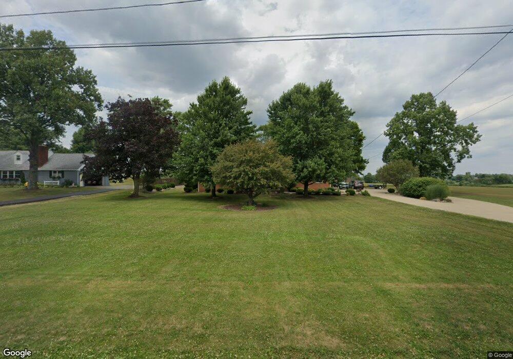
10695 Easton St NE Alliance, OH 44601
Estimated Value: $214,000 - $298,000
--
Bed
--
Bath
--
Sq Ft
0.81
Acres
About This Home
This home is located at 10695 Easton St NE, Alliance, OH 44601 and is currently estimated at $256,000. 10695 Easton St NE is a home located in Stark County with nearby schools including Louisville High School.
Ownership History
Date
Name
Owned For
Owner Type
Purchase Details
Closed on
Jan 16, 2017
Sold by
Schillig Martin E and Schillig Mary Jane
Bought by
Witts Timothy A and Witts Sharon E
Current Estimated Value
Home Financials for this Owner
Home Financials are based on the most recent Mortgage that was taken out on this home.
Original Mortgage
$153,900
Outstanding Balance
$126,683
Interest Rate
4.08%
Mortgage Type
New Conventional
Estimated Equity
$129,317
Purchase Details
Closed on
Nov 29, 1999
Sold by
Schillig Martin E and Schillig Mary Jane
Bought by
Schillig Martin E and Schillig Mary Jane
Create a Home Valuation Report for This Property
The Home Valuation Report is an in-depth analysis detailing your home's value as well as a comparison with similar homes in the area
Home Values in the Area
Average Home Value in this Area
Purchase History
| Date | Buyer | Sale Price | Title Company |
|---|---|---|---|
| Witts Timothy A | $162,000 | None Available | |
| Schillig Martin E | -- | -- |
Source: Public Records
Mortgage History
| Date | Status | Borrower | Loan Amount |
|---|---|---|---|
| Open | Witts Timothy A | $153,900 |
Source: Public Records
Tax History Compared to Growth
Tax History
| Year | Tax Paid | Tax Assessment Tax Assessment Total Assessment is a certain percentage of the fair market value that is determined by local assessors to be the total taxable value of land and additions on the property. | Land | Improvement |
|---|---|---|---|---|
| 2025 | -- | $10,120 | $9,770 | $350 |
| 2024 | -- | $10,120 | $9,770 | $350 |
| 2023 | $387 | $7,740 | $7,110 | $630 |
| 2022 | $391 | $7,740 | $7,110 | $630 |
| 2021 | $392 | $7,740 | $7,110 | $630 |
| 2020 | $315 | $6,650 | $6,090 | $560 |
| 2019 | $316 | $6,650 | $6,090 | $560 |
| 2018 | $315 | $6,650 | $6,090 | $560 |
| 2017 | $315 | $6,340 | $5,780 | $560 |
| 2016 | $84 | $1,720 | $1,160 | $560 |
| 2015 | $84 | $1,720 | $1,160 | $560 |
| 2014 | $83 | $1,580 | $1,050 | $530 |
| 2013 | $42 | $1,580 | $1,050 | $530 |
Source: Public Records
Map
Nearby Homes
- 5990 Meese Rd NE
- 5765 Maplegrove St
- 6109 Oakhill Ave NE
- 12222 Cenfield St NE
- 6052 N Nickelplate St
- 5495 Meese Rd NE
- 0 Valewood Cir Unit 5006281
- 2435 Queensbury Rd
- 2851 Patriots Path Unit 3D
- 7844 Morningstar Dr
- 2015 E Main St
- 0 Moulin Ave NE
- 0 Reeder Ave NE
- 0 Easton St NE
- 1445 Washington Blvd
- 910 Crosswyck Cir
- 2377 Ansley St Unit 2377
- 1413 Washington Blvd
- 0 Michigan Blvd
- 344 E Reno Dr
- 10695 Easton St NE
- 10615 Easton St NE
- 10705 Easton St NE
- 10650 Easton St NE
- 10674 Easton St NE
- 10569 Easton St NE
- 10566 Easton St NE
- 10684 Easton St NE
- 10755 Easton St NE
- 10805 Easton St NE
- 10875 Easton St NE
- 10870 Easton St NE
- 10359 Easton St NE
- 6693 Meese Rd NE
- 6485 Meese Rd NE
- 6688 Meese Rd NE
- 6517 Meese Rd NE
- 10960 Easton St NE
- 6522 Meese Rd NE
- 10981 Easton St NE