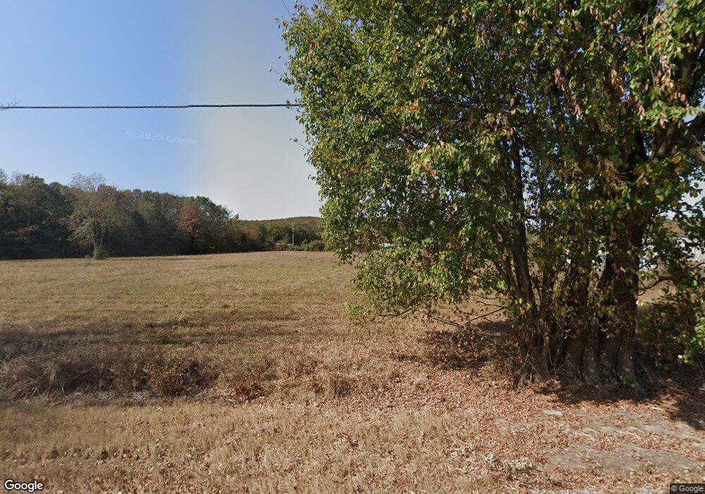
10695 N Highway 16 Elkins, AR 72727
Estimated Value: $113,925 - $343,000
--
Bed
1
Bath
1,232
Sq Ft
$185/Sq Ft
Est. Value
About This Home
This home is located at 10695 N Highway 16, Elkins, AR 72727 and is currently estimated at $227,642, approximately $184 per square foot. 10695 N Highway 16 is a home located in Washington County with nearby schools including Elkins Elementary Primary School, Elkins Elementary School, and Elkins Middle School.
Ownership History
Date
Name
Owned For
Owner Type
Purchase Details
Closed on
Jun 13, 2007
Sold by
Murphy Hazel
Bought by
Murphy Michael Lee and Murphy Jackie Arlene
Current Estimated Value
Purchase Details
Closed on
Nov 7, 1994
Bought by
Murphy Michael Lee
Purchase Details
Closed on
Aug 26, 1993
Bought by
Murphy Winford and Murphy Hazel
Purchase Details
Closed on
Jan 1, 1985
Bought by
Murphy Winford and Murphy Hazel
Create a Home Valuation Report for This Property
The Home Valuation Report is an in-depth analysis detailing your home's value as well as a comparison with similar homes in the area
Home Values in the Area
Average Home Value in this Area
Purchase History
| Date | Buyer | Sale Price | Title Company |
|---|---|---|---|
| Murphy Michael Lee | -- | None Available | |
| Murphy Michael Lee | -- | -- | |
| Murphy Winford | -- | -- | |
| Murphy Winford | -- | -- |
Source: Public Records
Tax History Compared to Growth
Tax History
| Year | Tax Paid | Tax Assessment Tax Assessment Total Assessment is a certain percentage of the fair market value that is determined by local assessors to be the total taxable value of land and additions on the property. | Land | Improvement |
|---|---|---|---|---|
| 2025 | $393 | $12,580 | $9,270 | $3,310 |
| 2024 | $363 | $12,580 | $9,270 | $3,310 |
| 2023 | $341 | $12,580 | $9,270 | $3,310 |
| 2022 | $311 | $7,040 | $4,870 | $2,170 |
| 2021 | $288 | $7,040 | $4,870 | $2,170 |
| 2020 | $265 | $7,040 | $4,870 | $2,170 |
| 2019 | $233 | $4,570 | $3,780 | $790 |
| 2018 | $233 | $4,570 | $3,780 | $790 |
| 2017 | $229 | $4,570 | $3,780 | $790 |
| 2016 | $230 | $4,570 | $3,780 | $790 |
| 2015 | $230 | $4,570 | $3,780 | $790 |
| 2014 | $276 | $5,470 | $3,270 | $2,200 |
Source: Public Records
Map
Nearby Homes
- 10836 Bray Rd
- Tract 3a Downing Rd
- Tract 1a Downing Rd
- Tract 2b Downing Rd
- Tract 2a Downing Rd
- Tract 1b Downing Rd
- 19641 Conestoga Rd
- 567 Jason St
- RC Carnegie II Plan at Stokenbury
- RC Keswick Plan at Stokenbury
- RC Foster II Plan at Stokenbury
- RC Franklin Plan at Stokenbury
- RC Glenwood Plan at Stokenbury
- RC Raleigh Plan at Stokenbury
- RC Kinsley II Plan at Stokenbury
- RC Ross Plan at Stokenbury
- RC Coleman Plan at Stokenbury
- RC Taylor Plan at Stokenbury
- 1036 Adysen Ln
- 1106 Jennifer Ann Ln
- 353 Hattabaugh Dr
- 10689 N Highway 16
- 145 Hattabaugh Dr
- 0 Hattabaugh St Unit 557129
- 328 Hattabaugh Dr
- 256 Hattabaugh Dr
- 290 Hattabaugh Dr
- 209 Hattabaugh Dr
- 328 NE Hattabaugh Dr
- 461 Hattabaugh Dr
- 204 Hattabaugh Dr
- 0 Hattabaugh Dr Unit 384530
- 0 Hattabaugh Dr Unit 1011864
- 0 Hattabaugh Dr Unit 1011870
- 0 Hattabaugh Dr Unit 731403
- 0 Hattabaugh Dr Unit 1011869
- 216 Alexandra Loop
- 448 Hattabaugh Dr
- 222 Alexandra Loop
- 228 Alexandra Loop
