10695 Newton Ave Crown Point, IN 46307
Estimated Value: $381,000 - $459,000
4
Beds
3
Baths
2,109
Sq Ft
$191/Sq Ft
Est. Value
About This Home
This home is located at 10695 Newton Ave, Crown Point, IN 46307 and is currently estimated at $402,941, approximately $191 per square foot. 10695 Newton Ave is a home located in Lake County with nearby schools including Winfield Elementary School, Jerry Ross Elementary School, and Colonel John Wheeler Middle School.
Ownership History
Date
Name
Owned For
Owner Type
Purchase Details
Closed on
Apr 29, 2008
Sold by
Good William J and Good Christine A
Bought by
Kats Conrad L and Kats Christy A
Current Estimated Value
Home Financials for this Owner
Home Financials are based on the most recent Mortgage that was taken out on this home.
Original Mortgage
$196,000
Outstanding Balance
$124,126
Interest Rate
5.88%
Mortgage Type
Purchase Money Mortgage
Estimated Equity
$278,815
Create a Home Valuation Report for This Property
The Home Valuation Report is an in-depth analysis detailing your home's value as well as a comparison with similar homes in the area
Home Values in the Area
Average Home Value in this Area
Purchase History
| Date | Buyer | Sale Price | Title Company |
|---|---|---|---|
| Kats Conrad L | -- | Multiple |
Source: Public Records
Mortgage History
| Date | Status | Borrower | Loan Amount |
|---|---|---|---|
| Open | Kats Conrad L | $196,000 |
Source: Public Records
Tax History Compared to Growth
Tax History
| Year | Tax Paid | Tax Assessment Tax Assessment Total Assessment is a certain percentage of the fair market value that is determined by local assessors to be the total taxable value of land and additions on the property. | Land | Improvement |
|---|---|---|---|---|
| 2024 | $9,104 | $370,200 | $52,100 | $318,100 |
| 2023 | $3,699 | $337,200 | $52,100 | $285,100 |
| 2022 | $3,699 | $331,400 | $52,100 | $279,300 |
| 2021 | $3,071 | $276,200 | $52,100 | $224,100 |
| 2020 | $2,917 | $262,600 | $52,100 | $210,500 |
| 2019 | $2,845 | $258,700 | $52,100 | $206,600 |
| 2018 | $2,922 | $251,600 | $52,100 | $199,500 |
| 2017 | $2,938 | $253,300 | $52,100 | $201,200 |
| 2016 | $2,855 | $243,700 | $44,000 | $199,700 |
| 2014 | $2,549 | $232,200 | $44,000 | $188,200 |
| 2013 | $2,578 | $230,900 | $44,000 | $186,900 |
Source: Public Records
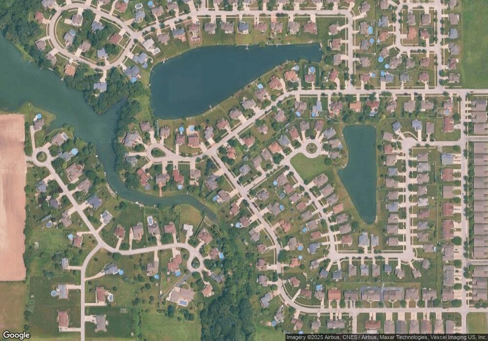
Map
Nearby Homes
- 7646 Amanda's Way
- 10700 Martinique Ln
- 7851 E 108th Ave
- 10845 Park St
- 7736 E 108th Ave Unit C
- 7736 E 108th Ave Unit A
- 10838 Pike St
- 7362 Brookhaven
- Martin Plan at Estates of Wynbrook
- 7342 Brookhaven Dr
- 10367 Trevino St
- 11059 Wynbrook Dr
- 6181 Ontario Dr
- 6754 103rd Dr
- 10487 Pinnacle St
- 11768 Perry St
- 10312 Nelson St
- 10578 Ontario Dr
- 6846 E 104th Ave
- 6889 E 109th Ave
- 7434 Mary Kay Ct
- 7385 E 106th Ave
- 7448 Mary Kay Ct
- 7397 E 106th Ave
- 10715 Newton Ave
- 10670 Newton Ave
- 10708 Heather Dr
- 10690 Newton Ave
- 7460 Mary Kay Ct
- 10708 Newton Ave
- 7423 E 106th Ave
- 10712 Heather Dr
- 10722 Newton Ave
- 10731 Newton Ave
- 7337 E 106th Ave
- 7478 Mary Kay Ct
- 7384 E 106th Ave
- 7362 E 106th Ave
- 10720 Heather Dr
- 7390 E 106th Ave